La Alba Trail – Murrieta
La Alba Trail in Murrieta, California, is a hiking, mountain biking, and equestrian trail network of about 5 miles of trails near French Valley Airport in Murrieta California.
The trails form a figure-eight loop in an open space area managed by Riverside County Parks and Recreation that is sandwiched between the burgeoning housing developments in the French Valley region of Murietta.
Trail Details
| Trail Type | Loop or out-and-back |
| Difficulty | Moderate |
| Length | Depends (~5 miles of trails) |
| Elevation Gain/Loss | 200 feet/-200 feet |
| Trailhead Coordinates | 33.579999, -117.140019 |
| Location | Murrietta, California |
| Best Season | Year Round (hot in summer) |
Getting There
The most popular trailhead for La Alba Trail is located in a neighborhood (Northstar Ranch) just west across Winchester Road from French Valley Airport.
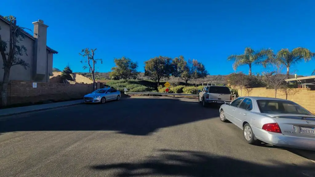
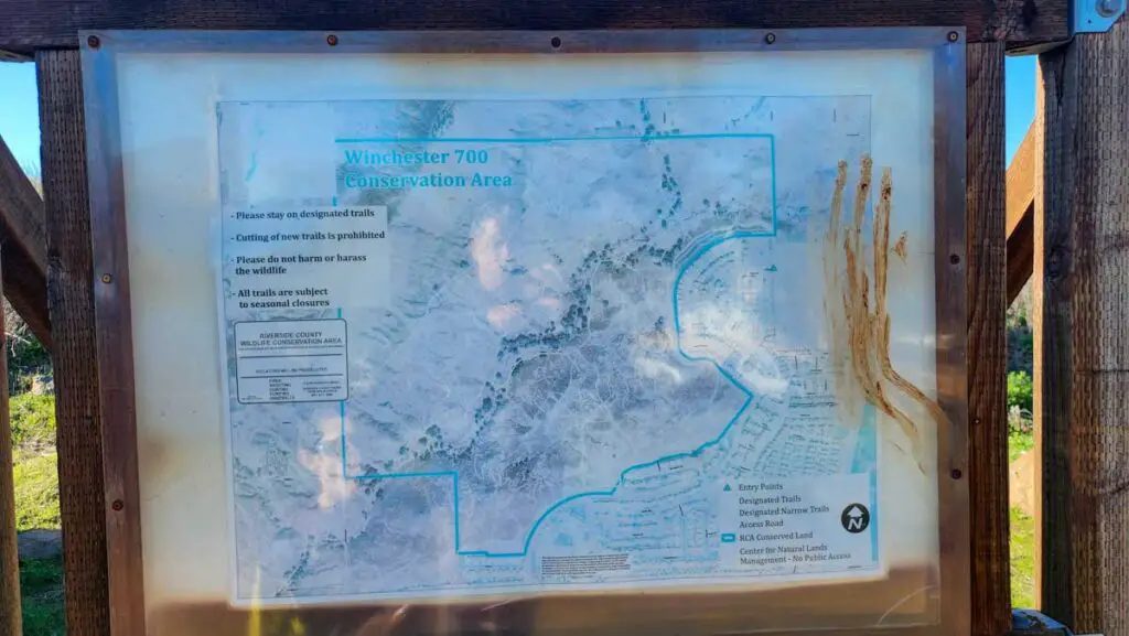
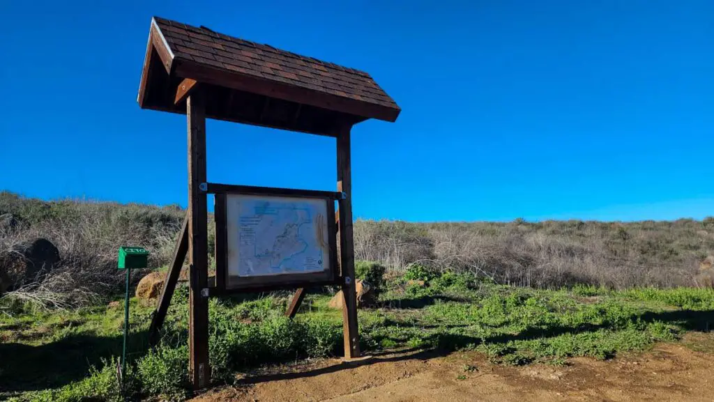
There is parking in a cul de sac on La Alba Drive, where it intersects with Big Dipper Way. There is a trailhead kiosk just past the end of the cul de sac.
La Alba Trail Overview
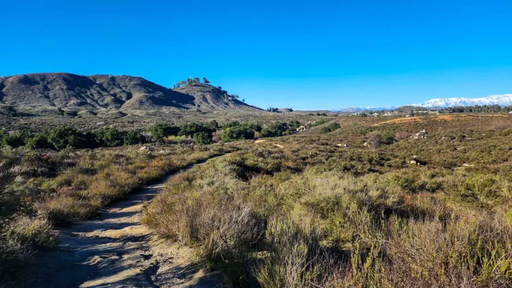
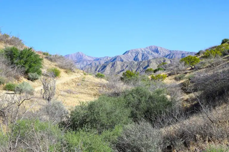
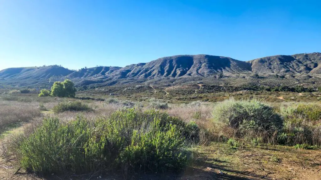
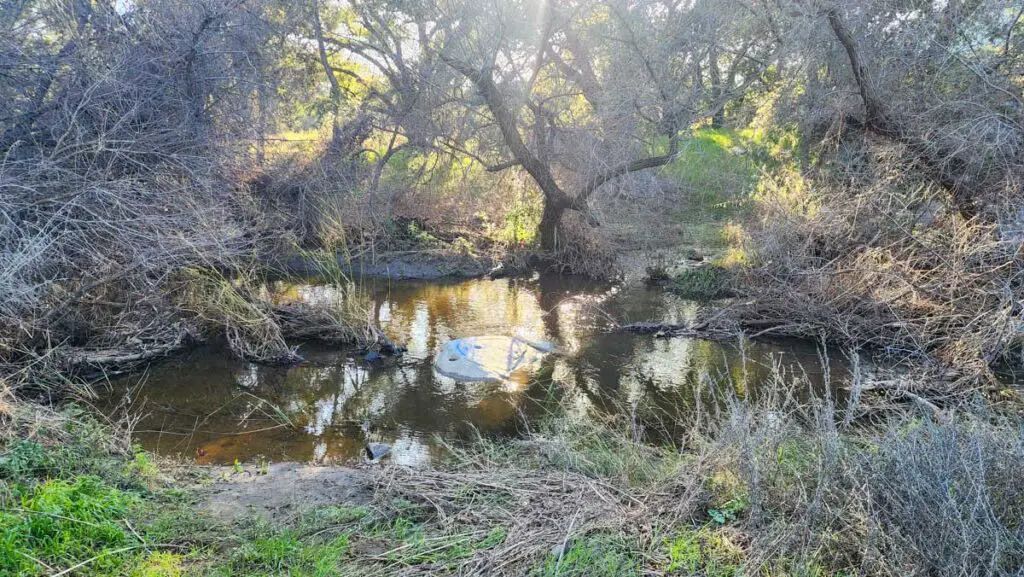
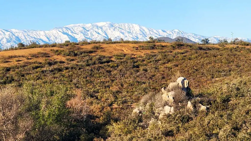
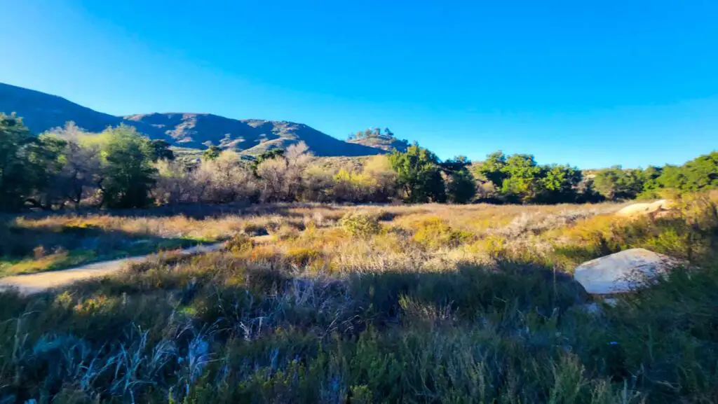
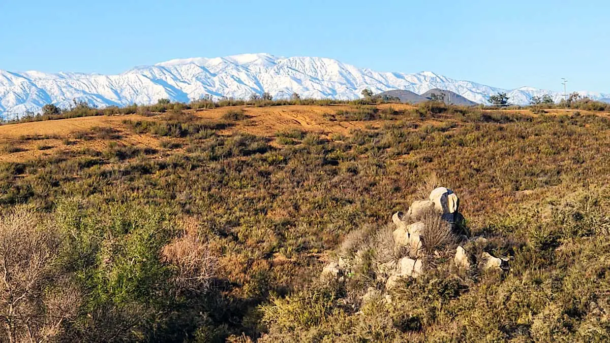
La Alba Trail explores a valley bordered by the Murrieta Hogbacks, a ridge to the west, and bisected by a creek. The trail comprises two loops that form a figure 8, with each loop on different sides of the creek.
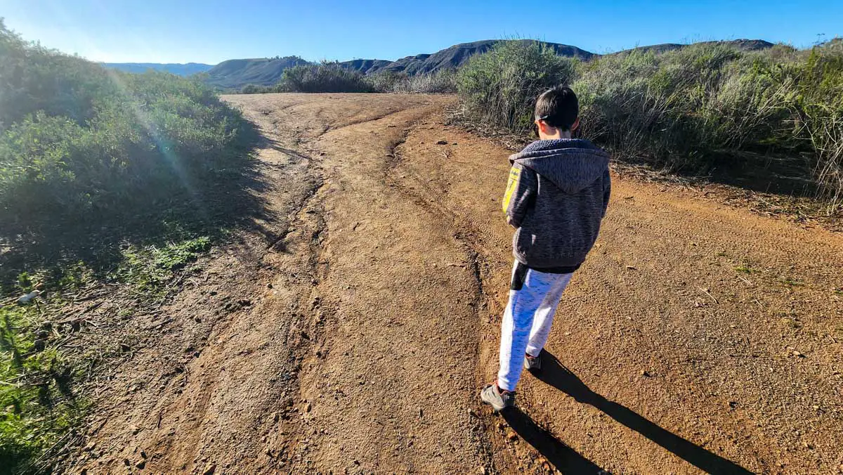
From the trailhead described above, you can travel either way around the loop on the east side of the creek, and the trail will eventually bring you down to the valley floor, and the riparian strip that runs through it.
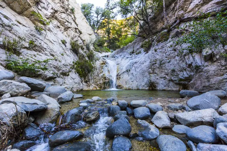
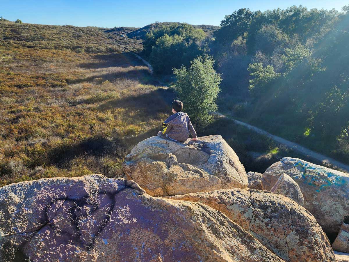
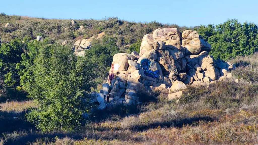
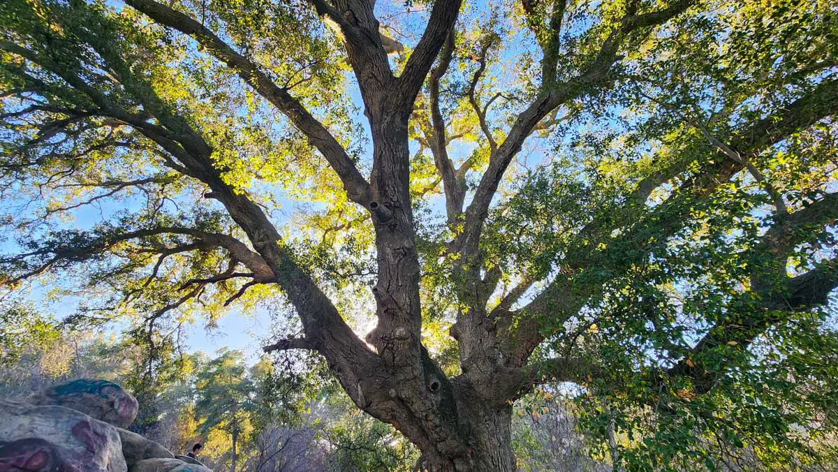
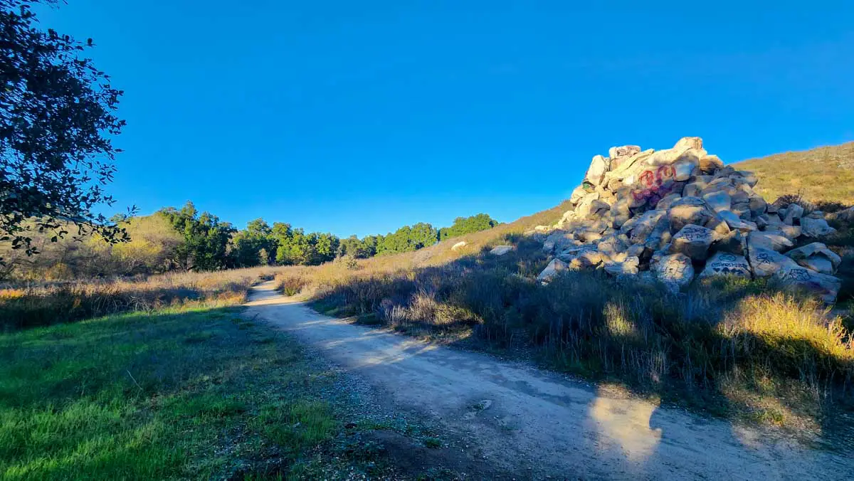
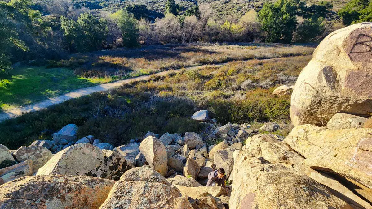
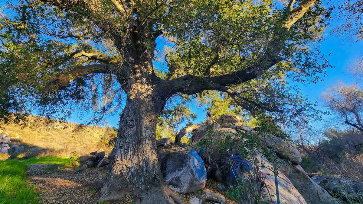
Thanks to the creek, the valley floor is lush with large oaks and other sizable trees. There is a notable rock formation along the section of trail that runs along the creek. It is the victim of local graffiti “artists” but my son and I still had fun scrambling around on it.
The east loop connects with the west loop at a split about a quarter mile northeast of the rock pile. Heading west, it soon crosses the creek and explores the northwestern side of the valley. If you stay on this loop, it will bring you back to this creek crossing to return to the trailhead.
There are other trails in the valley as well, and I suspect you could travel northeast to cross Clinton Keith Road and connect with another large open space on the other side. I haven’t done this yet, so do your research if you decide to give it a go.


I wouldn’t call La Alba a destination trail, but it’s a convenient hike if you live in Murrieta or are visiting and looking for a place to get some fresh air and stretch your legs. I have family in the area, and it’s a great place to spend a few hours exploring with my son.