Mapping the Concrete Jungle: L.A. County Has Far More Pavement Than It Needs
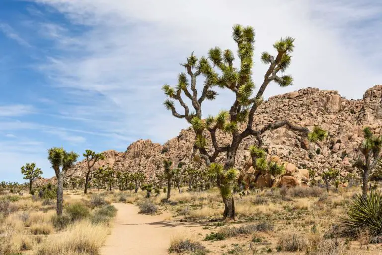
People have been calling Los Angeles a concrete jungle for decades, usually as shorthand for urban chaos and sensory overload, but a new report suggests the metaphor is more literal than most people realized — and that the jungle, mapped in precise detail for the first time, turns out to be significantly larger than it needs to be.
Researchers at Accelerate Resilience L.A. and Hyphae Design Laboratory have produced the first parcel-level analysis of all paved surfaces across L.A. County, and their central finding is that roughly 44 percent of the county’s 312,000 acres of pavement is non-essential infrastructure — not roads, not sidewalks, not functional parking, but asphalt that accumulated over decades of car-centric development and has never been seriously reconsidered. Not a small fraction. Nearly half.
The report, called DepaveLA and released in January 2026, overlays that pavement map with data on urban heat, flooding risk, and tree canopy coverage to identify where excess concrete is compounding environmental stress at the neighborhood scale — and for Southern California’s outdoor community, the picture it produces of the urban landscape most trail runners, climbers, and cyclists move through on their way to the backcountry is worth a closer look.
Heat, Flooding, and the Urban Fringe
The connection between pavement and urban heat is well established — impervious surfaces absorb solar energy during the day and radiate it back at night, sustaining elevated temperatures in densely paved neighborhoods long after sunset — and DepaveLA maps that effect across the county in granular detail, identifying communities where high pavement coverage, minimal tree canopy, and extreme heat exposure converge in what the authors describe as “stacked needs” zones.
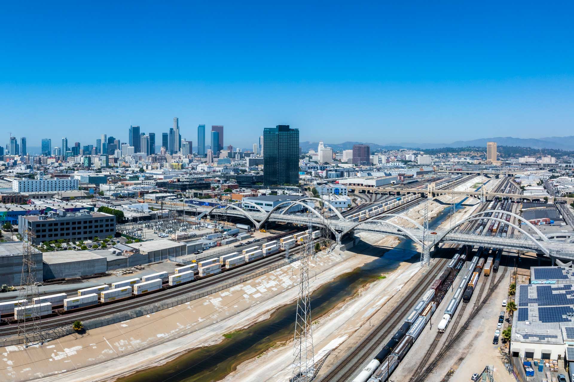
Many of those zones sit at the foot of the San Gabriel and Santa Monica mountains, in the communities that form the urban fringe most SoCal outdoor enthusiasts know as the approach to the backcountry — the neighborhoods where trailheads begin and where a significant portion of the region’s outdoor community lives.
School campuses receive particular attention in the report: the county’s 3,179 school campuses average 40 percent pavement coverage, with many running considerably higher, and blacktop schoolyards in dense urban areas can reach surface temperatures above 120°F on warm days — a figure that has drawn attention from public health researchers and school administrators pushing for what advocates call “living schoolyards,” campus redesigns that replace asphalt with shade trees, native plantings, and permeable surfaces.
Who Owns the Problem
One of the report’s more consequential findings concerns where the non-essential pavement actually sits: nearly 70 percent of it is on private property — commercial lots, industrial parcels, residential driveways and patios — rather than in public rights-of-way, a distribution that complicates the policy picture considerably and suggests that public investment alone, through road diets or park improvements, won’t move the needle on the majority of the identified pavement.
Among the more actionable findings: the report calculates that reconfiguring commercial parking lots from 90-degree to angled spaces — a design change that doesn’t reduce the number of available spots — could free up roughly 1,600 acres of pavement across the county, creating space for trees and stormwater capture infrastructure in the footprint of existing lots.
The report also identifies 14,862 acres of pavement on vacant parcels throughout the county — land with no current active use sitting under concrete — which the authors flag as the lowest-friction depaving opportunity in the dataset, since removing it wouldn’t displace any existing activity. The researchers note one important complication, however: in neighborhoods with industrial histories, pavement sometimes caps contaminated soil that can’t be disturbed without remediation, meaning site-specific assessment would be required before any removal.
The Path to Implementation
The researchers are explicit that DepaveLA is not a removal plan — it’s a data resource and a framework for identifying where removal would have the most impact, intended for planners, advocates, and policymakers rather than as a prescription for any specific site. “This is a first step,” Devon Provo, senior policy manager at Accelerate Resilience L.A., said in a statement accompanying the report. “It’s an opportunity assessment, not a prescriptive plan.”
The report’s five formal recommendations are to prioritize depaving in heat and flood hotspots and on vacant parcels; establish a county-level depave task force; adopt a structured implementation framework; develop incentive-based approaches to reach private property owners; and accelerate the conversion of schoolyards and campuses. For the last of those, the researchers point to the lawn replacement program — the rebate-driven initiative that shifted Southern California homeowners away from water-intensive turf at scale — as a model for using financial incentives to change land-use defaults without mandates.
Real jungles, of course, are not problems to be solved — they’re ecosystems in dynamic equilibrium, filtering water, moderating temperature, and sustaining the kind of biological complexity that took millennia to assemble. The concrete version does none of that. Whether L.A. County moves to create the task force and funding mechanisms the DepaveLA researchers recommend — and whether property owners see enough upside in trading asphalt for trees and groundwater recharge to act without being required to — will determine how much of that complexity this particular jungle eventually gets back.