Cahuilla Mountain Trail Guide
Cahuilla Mountain Trail is a moderately difficult 6-mile out-and-back hike in the San Jacinto Ranger District near Idyllwild, California.
Hiking trails near San Diego, Los Angeles, and other parts of Southern California
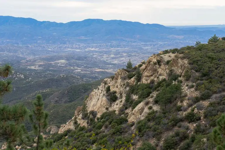
Cahuilla Mountain Trail is a moderately difficult 6-mile out-and-back hike in the San Jacinto Ranger District near Idyllwild, California.
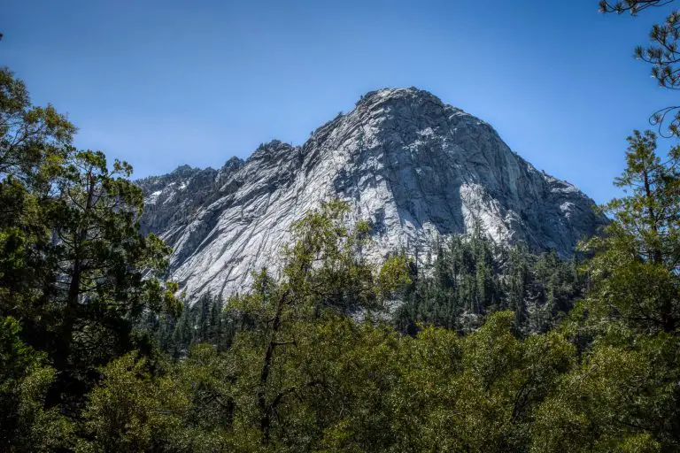
Devils Slide Trail is a moderate 2.5-mile route in the San Jacinto Wilderness near Idyllwild, California.
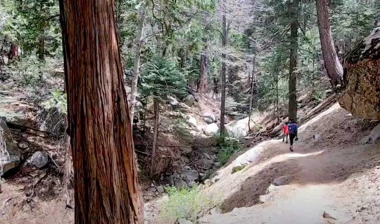
Ernie Maxwell Scenic Trail is an easy 2.6-mile out-and-back route in the San Jacinto Wilderness near Idyllwild, California.
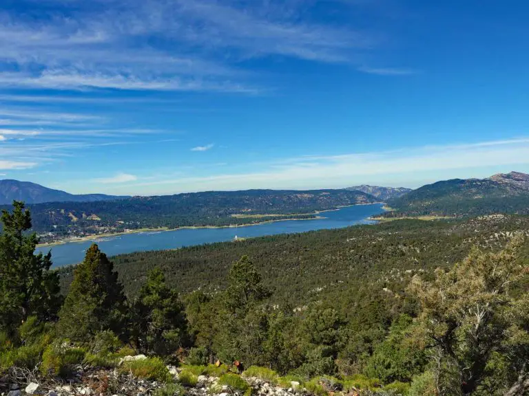
Cougar Crest Trail is a moderately difficult, approximately 4.6-mile out-and-back hike near Big Bear Lake in Southern California.
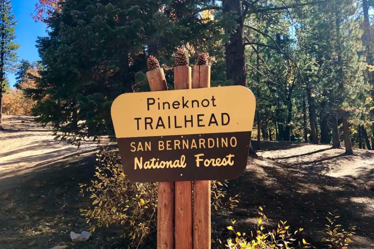
Pine Knot Trail is a moderate 6-mile out-and-back hike located near Big Bear Lake in Southern California.
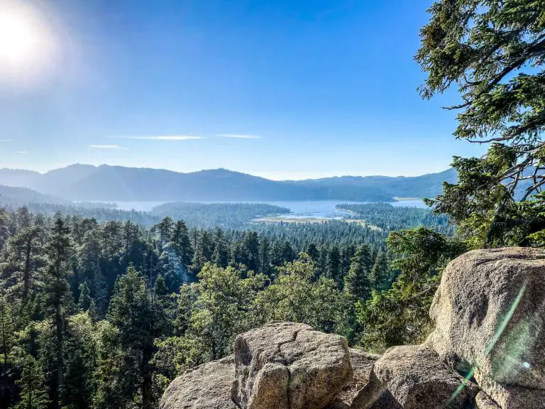
Known for its clear mountain air and moderate summer temperatures, the area draws hikers from all over Southern California in search of panoramic views, shady forests, and alpine lakeshores.
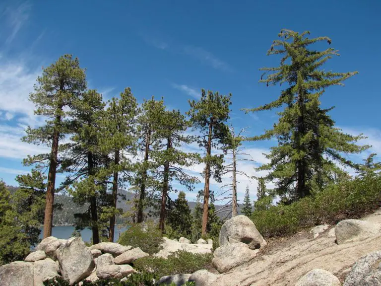
Castle Rock Trail is a short yet steep out-and-back route near Big Bear Lake in Southern California, spanning about one mile each way with roughly 500 feet of elevation gain.
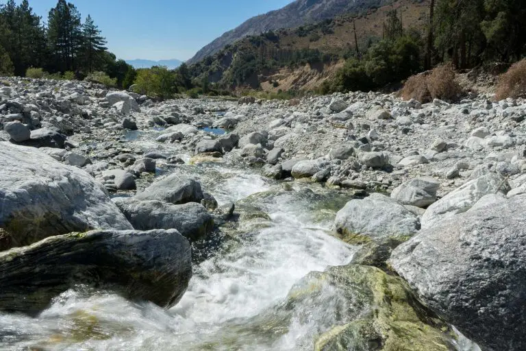
Momyer Creek Trail is a difficult 18.4-mile out-and-back route in the San Gorgonio Wilderness of Southern California that offers solitude and sweeping views of Mill Creek Canyon and the Yucaipa Ridge.

Sugarloaf National Recreation Trail is a difficult 10-mile out-and-back route near Big Bear, California, leading hikers to the highest point in the Big Bear Valley at 9,952 feet.
End of content
End of content