Bradshaw Trail Overland Route

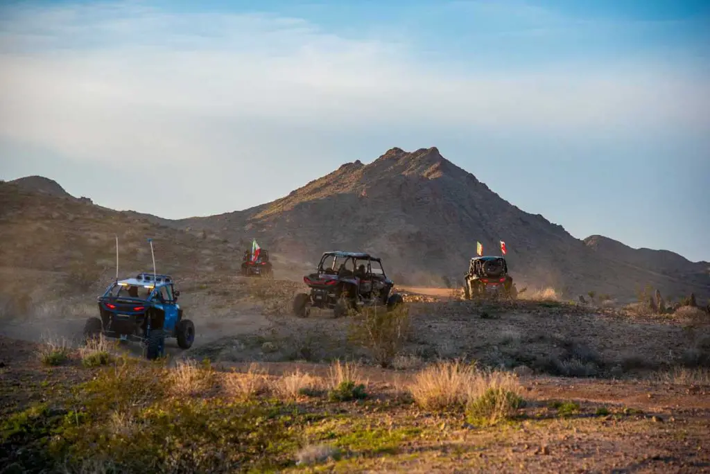
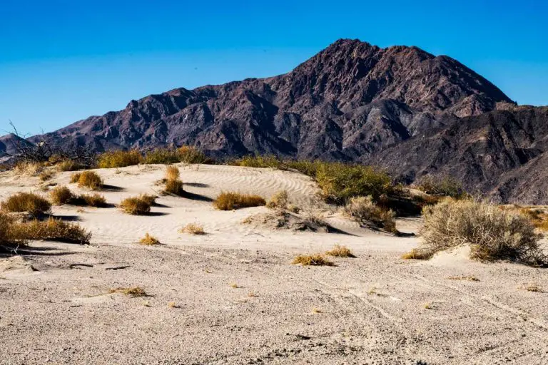
The Bradshaw Trail is a 70-mile overland route that follows a historic dirt road through southeastern Riverside County in Southern California. Recommended for four-wheel-drive vehicles, it offers spectacular desert vistas, including views of the Chuckwalla Bench, Orocopia, Chuckwalla, and Mule Mountains.
It follows a historic stage route first established in 1862 and provides access to numerous points of interest, from rock-hounding sites to remnants of the region’s mining past. This mostly graded road is best explored during cooler months. It offers a couple of primitive campgrounds and dispersed camping.
Trail Details
| Trail Type | Point-to-point |
| Difficulty | Moderate (due to soft sand and remote terrain) |
| Length | 70 miles |
| Time | 6–8 hours (driving) |
| Elevation Gain/Loss | Minimal |
| Trailhead Coordinates | Varies, see below for more info |
| Location | Southeastern Riverside County, California |
| Season | Fall to spring (cooler months recommended) |
| Information Number | 760-833-7100 |
Getting to Bradshaw Trail Trailhead
The trail runs between Blythe and the Salton Sea State Recreation and can be driven in either direction.
The eastern trailhead of the Bradshaw Trail begins in Blythe, where 30th avenue turns into Bradshaw Trail as you cross a canal at GPS coordinates: 33.4929397, -114.740986
Alternately, you can enter the trail network from Interstate 10 about 17 miles west of Blyth at the Wiley’s Well exit (GPS: 33.606683, -114.901548). Go south onto Wiley’s Well Road and follow it for approximately 9 miles, passing Wiley’s Well Campground, until you reach the intersection with the Bradshaw Trail.
From the western end of the trail, near the Salton Sea, the trail starts as Summit Road, from the Coachella Canal (GPS: 33.505939, -115.7660383).
An alternate trailhead is to enter or exit via Red Canyon Jeep Trail at Exit 173 from I-10 (GPS: 33.659338, -115.721658). This is a relatively easy off-road trail.
Trail Overview

The Bradshaw Trail (officially called the Bradshaw Trail National Backcountry Byway) takes adventurers on a journey through time and desert landscapes. Originally a stagecoach route established in 1862, the trail once connected San Bernardino to the gold fields of La Paz, Arizona (now Ehrenberg).
Today, it is a popular overland route that offers a remote and rugged experience with no amenities along the trail, making preparation essential.

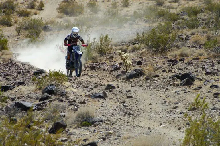
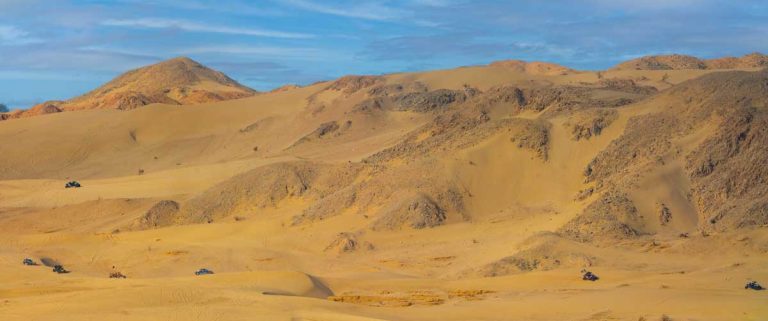
The trail’s western end begins near the Wiley’s Well Campground and stretches westward for 70 miles through diverse desert terrain. Travelers will encounter soft sand patches, rocky stretches, and dramatic vistas.
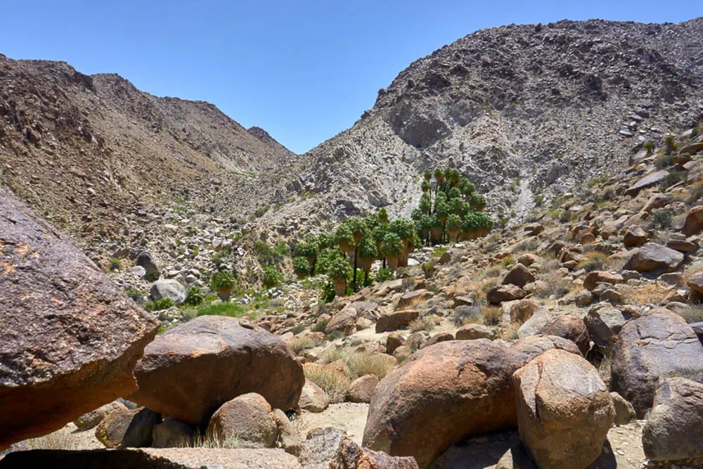
Highlights include the Chuckwalla Bench and the surrounding mountain ranges. Be on the lookout for palo verde, smoke trees, and ironwood trees that dot the landscape, along with desert wildlife like bighorn sheep and roadrunners.
Due to the proximity of the Chocolate Mountain Aerial Gunnery Range, pay close attention to posted signs and avoid venturing off the trail in restricted areas. Flash floods are another potential hazard, so checking weather conditions before your trip is highly recommended.
This route particularly appeals to history enthusiasts, rock-hounds, and those seeking a challenging and remote desert adventure. Nearby attractions include the Eagle Mountain Railroad Bridge, on the western end, the Hauser Geode Beds and Opal Hill Fire Agate Mine, located just off Wiley’s Well Road.
Camping
Wiley’s Well Campground
Located 9 miles south of Interstate 10 on Wiley’s Well Road, this primitive campground has nearby access to the Bradshaw Trail. It is set in a riparian wash surrounded by palo verde and mesquite trees. It is a great base for exploring the nearby geode beds and historic mining sites.
- Geographic Coordinates: 33.4935, -114.8881
- Directions: From I-10, take Wiley’s Well Road south for 9 miles.
Coon Hollow Campground
A more remote option, Coon Hollow Campground is 3 miles further south of Wiley’s Well. It offers similar amenities and access to rock-hounding sites and the Bradshaw Trail.
- Geographic Coordinates: 33.4479, -114.9011
- Directions: Continue south from Wiley’s Well Campground for 3 miles on Wiley’s Well Road.
Both campgrounds operate under the Bureau of Land Management (BLM) and require permits for overnight stays.
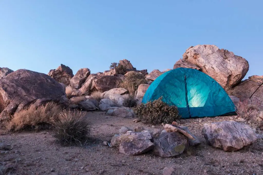
Dispersed camping is also allowed along the trail.
There are several off-road trails in the area, shown on the map below:


