Momyer Creek Trail
Momyer Creek Trail is a difficult 18.4-mile out-and-back route in the San Gorgonio Wilderness of Southern California that offers solitude and sweeping views of Mill Creek Canyon and the Yucaipa Ridge.

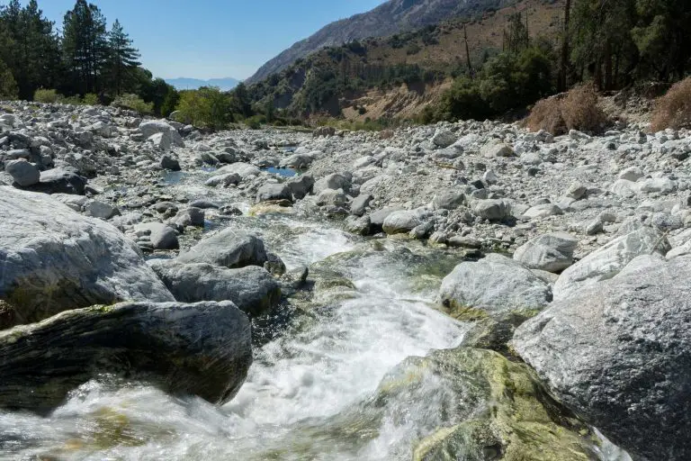
Momyer Creek Trail is a difficult 18.4-mile out-and-back route in the San Gorgonio Wilderness of Southern California that offers solitude and sweeping views of Mill Creek Canyon and the Yucaipa Ridge.

Sugarloaf National Recreation Trail is a difficult 10-mile out-and-back route near Big Bear, California, leading hikers to the highest point in the Big Bear Valley at 9,952 feet.
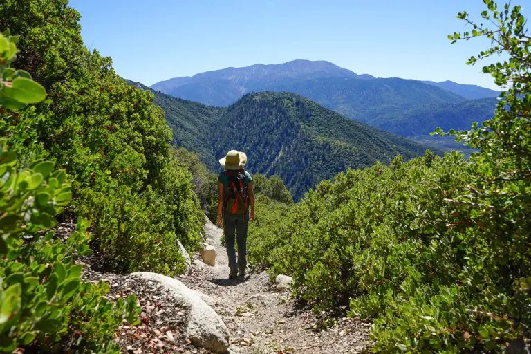
Camp Creek National Recreation Trail is a steep, 3.6-mile out-and-back hike located just east of Snow Valley Ski Resort in the San Bernardino Mountains.
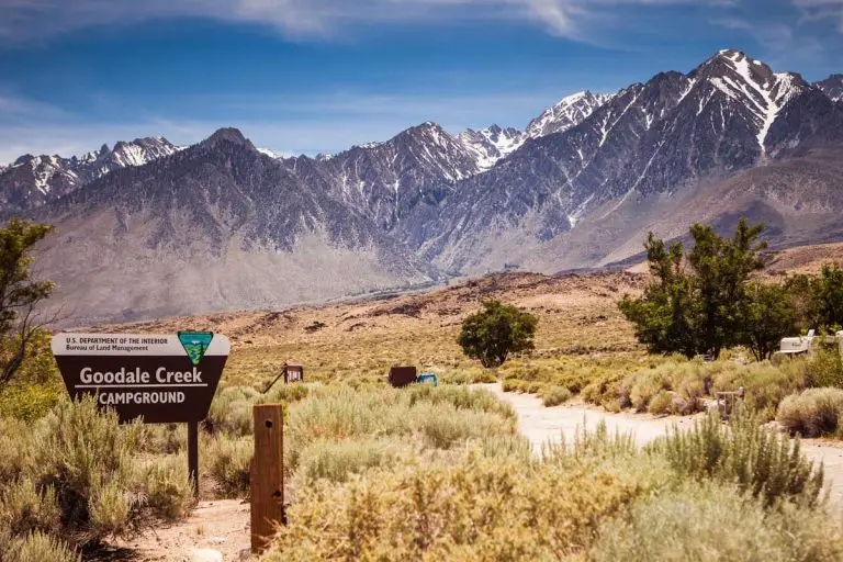
Government records show thousands of campsites and trails in California’s national forests could be forced to close this summer because of cuts to federal staffing and stalled funding.

Links to webcams at each SoCal resort so you can preview the snow, gauge the crowds, and get psyched for your next day on the slopes.
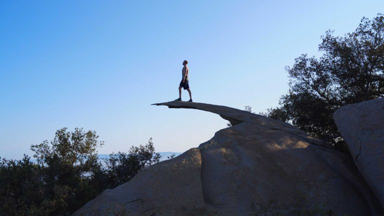
Potato Chip Rock is a popular hiking destination near San Diego, California, known for its distinctive, thin, and cantilevered rock formation

California State Parks Foundation has raised concerns that the governor’s budget undermines the intent of a statewide ballot measure.
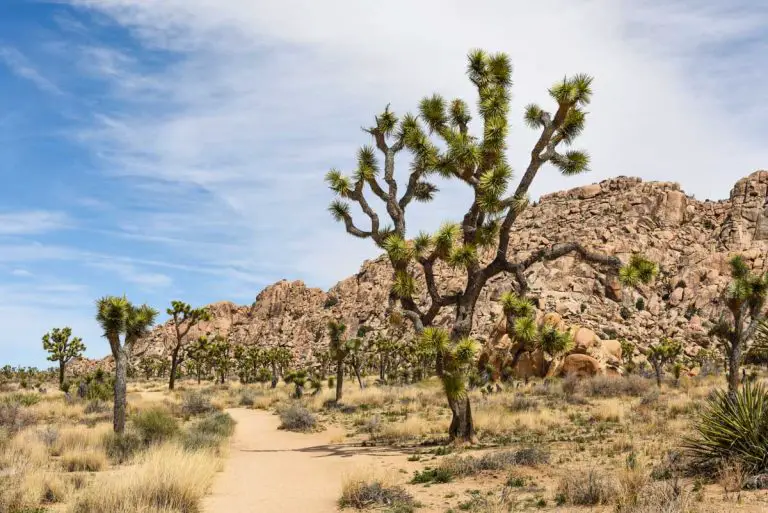
Trump administration cuts National Park Service employees and eyes reducing size of National Monuments.

The Canada Border Services Agency (CBSA) has announced the discontinuation of permits for hikers seeking to enter Canada via the Pacific Crest Trail (PCT) without presenting at an official port of entry.
End of content
End of content