Camp Creek National Recreation Trail

Camp Creek National Recreation Trail is a steep, 3.6-mile out-and-back hike located just east of Snow Valley Ski Resort in the San Bernardino Mountains. Rated difficult due to an elevation change of roughly 2,000 feet, it challenges hikers with rugged terrain while offering a rewarding mountain experience. The trail begins at Forest Road 2N97, then follows a signed path toward Bear Creek, where it ends.
This route appeals to hikers seeking a short but intense workout amid forested slopes, rocky outcrops, and potential wildlife sightings. Those new to high-elevation hiking should come prepared for thin air and steep switchbacks, and always check with the local ranger office for current trail conditions.
Trail Details
| Trail type | Out-and-back |
| Difficulty | Difficult |
| Length | 3.6 miles |
| Time | TBD |
| Elevation gain and loss | +2,000 feet / -2,000 feet |
| Trailhead Coordinates | 34.224624, -117.024370 |
| Location | Near Snow Valley Ski Resort |
| Information Number | (909) 382-2790 |
Getting to Camp Creek National Recreation Trailhead
From San Bernardino or points west, take I-10 or State Route 91 east to reach I-215 north. Merge onto CA-210 east, then follow the signs for Highway 330 north. After about 15 miles, Highway 330 will merge with Highway 18 near Running Springs. Continue east on Highway 18 toward Big Bear Lake. Pass Snow Valley Ski Resort and look for the 2N97 Forest Road turnout roughly 0.4 miles east of the ski resort’s main gate. Signage at the turnout indicates the start of the Camp Creek Trail.
If traveling from the eastern deserts or from Victorville, follow the most direct route to reach Highway 18 at Lucerne Valley or Apple Valley and head west toward Big Bear Lake. Drive past the lake and continue west on Highway 18 until you reach the same 2N97 turnout, located just before Snow Valley Ski Resort (about one mile east of the resort).
The Trail

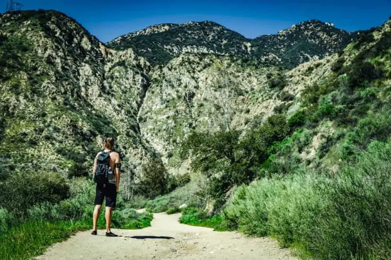
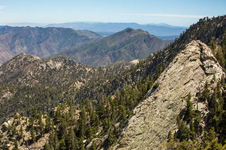
Beginning at Forest Road 2N97, you’ll quickly find posted signs directing you to Camp Creek National Recreation Trail. Within 0.3 miles, the forest road meets the actual trail, which heads down into the steep canyon country of the San Bernardino Mountains. The path wastes no time gaining elevation (or descending sharply, depending on your direction) through a mix of pine forest and chaparral. Take caution if the ground is loose—trekking poles can help stabilize your footing on these slopes.

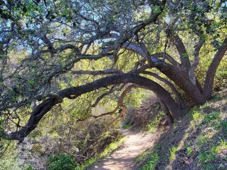
As you continue, you’ll see evidence of the area’s rich ecological mix. In the higher reaches, you might pass through stands of Ponderosa or Jeffrey pine, along with manzanita clinging to rocky outcrops. Farther down the canyon, depending on the season, the vegetation can shift to more riparian species near Bear Creek. Wildlife sightings may include mule deer, squirrels, and a variety of bird species; keep an eye out for rattlesnakes in warmer months.

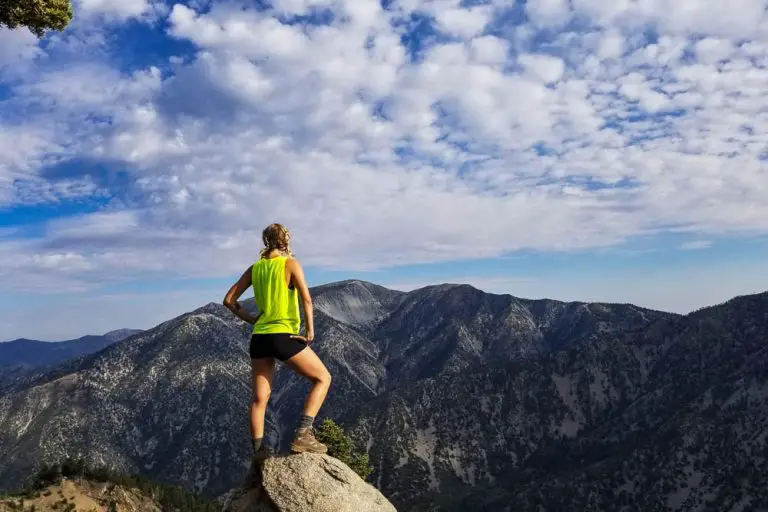
Expect multiple switchbacks on the descent (and climb back out) as the trail drops toward Bear Creek. The dramatic elevation difference not only adds challenge but also provides hikers with sweeping views of the surrounding ridgelines and valleys. Use caution on the way down, especially after rain or snow, as the trail can become slick.

Upon reaching Bear Creek, you’ll find a relatively quieter, cooler environment. This is a good spot to rest or have a snack before making the climb back out. Given the steepness of the trail, allow extra time for breaks on the return trip. Water sources may be unreliable, so carry plenty of water—particularly in warmer months.
Camping
For those looking to stay overnight in the area, there are several campground options around Big Bear Lake, roughly 10 to 15 miles east of the trailhead. The Serrano Campground near Fawnskin is a popular choice, offering facilities like picnic tables, restrooms, and proximity to the lake.
Dispersed camping may be possible in designated areas of the San Bernardino National Forest, but always check with the Big Bear Discovery Center or local ranger district for current regulations and fire restrictions.