Castle Rock Trail in Big Bear Lake

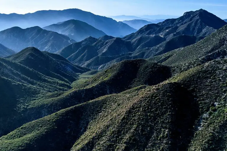
Castle Rock Trail is a short yet steep out-and-back route near Big Bear Lake in Southern California, spanning about one mile each way with roughly 500 feet of elevation gain. The trail offers scenic views of the lake and surrounding pine, fir, and cedar forests, making it a worthwhile challenge for hikers seeking a quick, vigorous climb with rewarding vistas.
Although brief, the steep grade demands moderate fitness, especially in the first half-mile. Tucked just east of the Big Bear Dam on Highway 18, this trail is popular for those looking to explore local geology—specifically, the towering 100-foot Castle Rock outcropping—and enjoy the fresh mountain air without committing to a longer excursion.
Due to recent fires, it’s possible this trail could be closed. Be sure to check with the ranger station before you head out.
Trail Details
| Trail Type | Out-and-back |
| Difficulty | Moderate |
| Length | 2 miles (round trip) |
| Time | ~1 hour |
| Elevation Gain | 500 feet |
| Elevation Loss | -500 feet |
| Trailhead Coordinates | 34.236759, -116.961575 |
| Location | Big Bear Lake |
| Season | Spring through Fall |
| Information Number | 909-382-2790 |
Getting to Castle Rock Trailhead
The Castle Rock Trailhead sits 1.1 miles east of Big Bear Dam along State Highway 18, or about 3 miles west of Big Bear Lake Village. A small turnout on the north side of the highway, located roughly 50 yards east of the trailhead, provides limited parking. Look for the sign marking the Castle Rock Trail across from the turnout.
The Trail
Starting from the turnout, cross carefully to the south side of Highway 18, where a small sign indicates the Castle Rock Trailhead. The first half-mile is steep and rocky, climbing steadily through a forest of pines, firs, and cedars. Expect to gain most of the trail’s 500 feet of elevation in this initial section, so pace yourself and consider using trekking poles if you’re sensitive to uphill climbs.
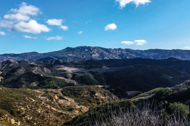
As you ascend, you’ll catch glimpses of Big Bear Lake through the trees. Keep your eyes open for local wildlife; the area is home to squirrels, various bird species, and occasionally larger mammals. After the steepest stretch, the trail levels out a bit, allowing you to catch your breath before reaching the saddle.
From just beyond this saddle, you’ll see Castle Rock—a prominent 100-foot granite outcropping. Many hikers opt to scramble around the base, but be cautious if you decide to climb any higher, as it can be slippery and exposed. The vantage point near Castle Rock offers sweeping views of the lake and the surrounding mountains, making for a photogenic rest stop. Once you’ve enjoyed the panorama, retrace your steps back down to the turnout on Highway 18, taking extra care on the steep descent.
Because Castle Rock Trail sits at around 7,000 feet of elevation, the air can be thinner, and the weather can change rapidly—particularly in the off-season. Summertime generally provides the best conditions for hiking here, but be prepared for intense sun at mid-day. In winter or early spring, snow and ice can make the path hazardous, so check local conditions before visiting.