Fryman Canyon Trail Guide

Fryman Canyon Trail is a popular 1.5-mile hike at the top of Fryman Canyon in the Studio City neighborhood of Los Angeles, California.
This loop trail, which begins and ends at the Nancy Pohl Overlook in Fryman Canyon Park, is located on the north side of Mulholland Drive and offers access to other trail networks in the canyons below. Accessible year-round, this moderately strenuous, dog-friendly hiking route accommodates walkers, runners and bikers of all ages.
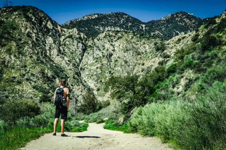
Enjoy magnificent views of the San Fernando Valley below while navigating elevation changes of up to 400 feet over well-maintained paths that wind through everything from lush rainforest to sagebrush and chaparral.
Trail Details
| Trail Type | Loop with various offshoots |
| Difficulty | Moderate |
| Length | 1,5 miles |
| Elevation Gain/Loss | 400 feet/-400 feet |
| Trailhead Coordinates | 34.122273, -118.384967 |
| Location | Studio City, California |
| Best Season | Year-round, but hot in summer |
Getting to the Fryman Canyon Trailhead
The trailhead features a paved parking lot for approximately 20 cars, with ample street parking along Mulholland Drive if the lot is full (which will likely be the case on fair-weather weekends).
To get there from the Valley, exit the 101 freeway at Laurel Canyon Boulevard and head south for 3.8 miles until the hill crests, making a right onto Mulholland Drive. Travel 0.8 miles to find the parking lot entrance on your right.

If you’re coming from the south side of the mountain, Sunset Boulevard offers easy access from the Pacific Coast Highway, Beverly Hills and West Hollywood.
From Sunset, head north on Rexford Drive (which becomes Coldwater Canyon) for 3.5 miles. From Coldwater, turn right onto Mulholland and head east for 1.7 miles where the parking lot will be on your left.
The Trail
At the trailhead, you’ll find a look-out point with park benches, trashcans, a trail map and a plaque commemorating mid-20th century conservationist Betty Dearing.

About 300 feet into the hike, the trail splits, with the left fork heading down into a labyrinth of circuitous paths cutting through thick tree canopies, while the right fork skirts along the mountainside with fairly open views of the valley below.

The right fork is relatively flat and open for the first half a mile, with only subtle variations in elevation. Surrounding vegetation is mostly desert brush, with bursts of yellow from fennel plants during the spring and summer months.
The trail then splits again, with the right fork remaining flat and ultimately dead-ending into a private gate, while the left fork descends a modestly steep path to the Briarcliff fire access road below.

Hang a left and pick up the trail again about 0.2 miles down the road for a steady but not overly difficult climb back to the top, eventually reemerging at the left fork near the trailhead.

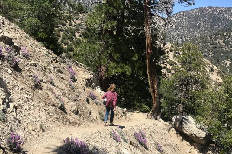
If instead you start by going down the left fork at the start, you’ll encounter a much greener, more forested environment that boasts craggy paths lined with tall grasses and black walnut trees.

The first half mile is a series of switchbacks that set you deep into the canyon before ultimately following a ridgeline with an undulating terrain of dirt and rock.

The trail will split again about a mile down, with the right fork continuing the loop and the left fork heading another 0.9 miles to a rainforest complete with trickling streams, log bridges and towering eucalyptus groves.
Some might simply turn around at the fork and go back up the way they came for a more challenging uphill grade that retains the shade rather than continuing onto the less difficult yet more exposed portion of the loop.

There are a variety of fun, unique features to enjoy along the left fork route. About a half mile down, the trail drops into a ravine where hikers must traverse a couple small rocks protruding from a gentle flowing stream. Unless it’s recently rained though, don’t expect more than a trickle.
Just past that is an old Jeep buried in the hillside that’s been spray-painted in a rainbow of colors. On the way to the rainforest, you’ll also have to duck under several arched branches and cross the occasional wooden bridge.

Both plant and animal species are abundant. Desert cottontails, Western fence lizards and red-tailed hawks are common.
I’ve even seen the occasional gopher snake sunning itself in the middle of the path (perhaps another reason to avoid hot summer days if you don’t like things that can move faster than you can with less legs). Deerweed, hedge nettle and wild cucumber add sporadic patches of color.

You can certainly work up a modest sweat here, but you might hardly notice as you get lost marveling the picturesque beauty of the surrounding landscape.
In fact, at certain points, one might almost forget they are in the heart of Los Angeles. To avoid getting drenched, the climate is best from October through March when the air is cooler, with average highs in the low 70s.

The Surrounding Area
For those looking to make a bigger day of it, hike the longer but easier three-mile lower Fryman Canyon loop off Fryman Road and Laurel Canyon at the base of the mountain.
This trailhead features men’s and women’s restrooms and a larger parking lot that can accommodate up to 50 cars, although it charges a $3 fee.
For lunch afterward, head down to one of the many restaurants perched along Ventura Boulevard, a short seven-minute drive from the top of Mulholland.
For other trails in the region, check out our Los Angeles hiking guide.

