Pasadena Hiking Guide
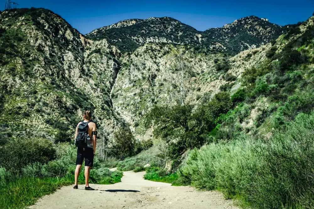
Nestled against the base of the San Gabriel Mountains, the city of Pasadena offers a variety of hiking and mountain biking trails suitable for all skill levels. Whether you’re looking for waterfalls, wildflowers, or just great views, there are many wonderful trails within easy distance of the city. Below, we will highlight some of the best Pasadena trails and provide links to additional information, where available.
El Prieto Trail
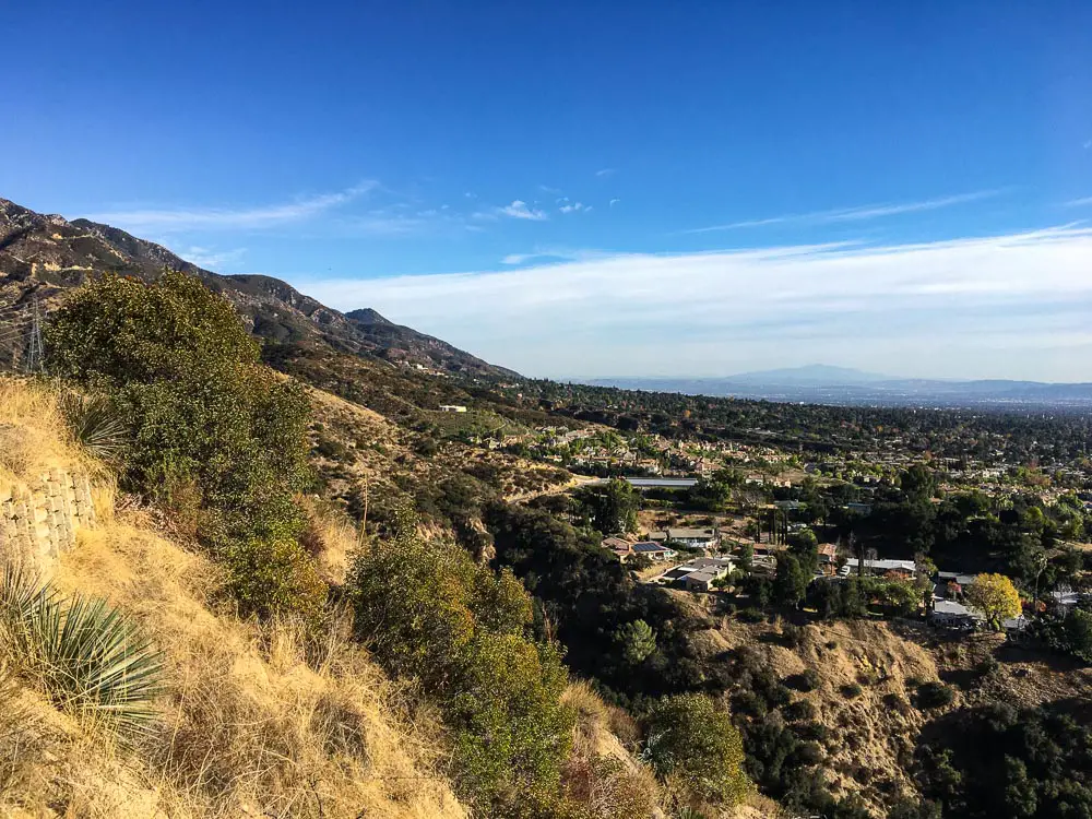
El Prieto Trail is a moderate, 5.8 out-and-back trail in the Angeles National Forest. It climbs 912 feet and is a very popular destination for mountain bikers as well as hikers. Although the trail is well-traveled, there are plenty of opportunities for spotting wildlife and birdwatching.
For a longer hike, check out Nick Winfrey’s detailed guide to El Prieto Trail.
Trailhead directions: From I-210 West, take exit 22B for Arroyo Boulevard/Windsor Avenue. Turn right onto N Windsor Ave, then continue for 0.8 miles before making a sharp left into the parking lot.
Eaton Canyon Trail
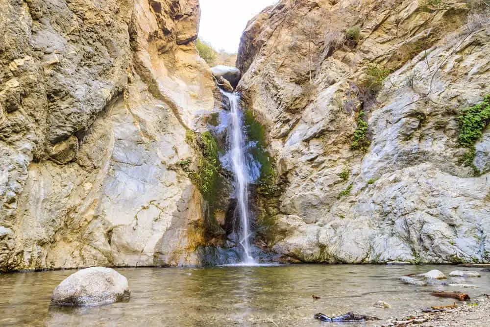
The Eaton Canyon Trail is an easy 4.4-mile out-and-back hike with views of the San Gabriel and Santa Monica Mountains. There are only 521 feet of elevation gain, and the trail becomes more rugged near the top. Seasonal streams criss-cross the trail, and your climb will be rewarded with a rocky 40-foot waterfall and a small pool.
Trailhead directions: From I-210, take the exit for North Altadena Drive. Continue north for 1.9 miles, and you’ll see the entrance to the Eaton Canyon Nature Area on your right. Parking is available in the lot by the nature center.
Inspiration Point via Sam Merrill Trail and Castle Canyon Trail
The 9.4-mile out-and-back hike up to Inspiration Point is intense, climbing a total of 2,795 feet. It begins on the Sam Merrill Trail, which takes you up to the ruins on Echo Mountain. From there, turn onto Castle Canyon Trail and continue until you reach the pavilion at Inspiration Point.
You’ll get great views of the canyon and surrounding mountains, and if you look through the available telescopes on a clear day you’ll be able to see Catalina Island. In addition to hikers, runners, mountain bikers, and dogs are all welcome on the trail.
Trailhead directions: From I-210, take exit 26 and head north on Lake Avenue for 3.8 miles until you reach the end of the road. The trailhead will be on your right, and there is street parking available on Lake Avenue and East Loma Alta Drive.
Gabrielino Trail
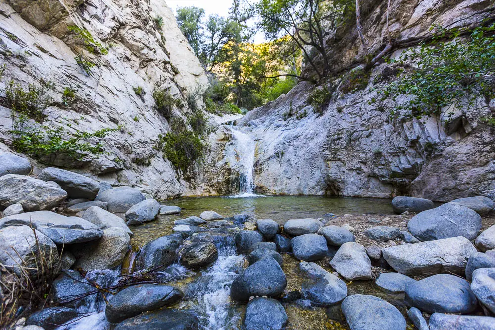
Located in the Angeles National Forest, the Gabrielino Trail to Switzer Falls is a moderately challenging 3.7-mile out-and-back trail. It gains a reasonable 695 feet in elevation, and at the end of your hike through the canyon, you’ll find the cascading 50-foot Switzer Falls.
Note that you will need to display an adventure pass in your vehicle when using the forest for recreational purposes. For more information on this trail, check out James Howley’s guide to hiking to Switzer Falls which includes instructions for getting to Upper Switzer Falls.
Trailhead directions: From La Cañada Flintridge, take the CA-2/Angeles Crest Highway north for 10 miles until you reach the Switzer Truck Trail. Turn right onto Switzer Truck Trail, and park in the designated lot by the trailhead.
Rose Bowl Loop Trail
The Rose Bowl Loop Trail is an easy, 3.1-mile hike that’s great for families. It only gains 118 feet in elevation as it circles the iconic Rose Bowl, and the wide, paved trail makes it good for all skill levels. Cyclists and leashed dogs are also welcome on the trail.
Trailhead directions: From CA-134 E, take exit 12 for San Rafael Ave. Turn left onto W Colorado Boulevard before making a slight right onto N Linda Vista Avenue. Continue for 0.7 miles, then make a slight right onto Seco Street, where you can find street parking.
Descanso Loop Trail
The 3-mile Descanso Loop trail is an easy to moderate hike with excellent views of Descanso Gardens, Glendale and Downtown LA, the San Gabriel Valley, and the Angeles National Forest. The loop connects the Descanso Trail to the Forest Hill Fire Trail and Descanso Drive for a multi-terrain hike.
Trailhead directions: From CA-2/Angeles Crest Highway, turn onto Foothill Boulevard. Continue for 0.3 miles before turning left onto Verdugo Boulevard. Drive for 0.4 miles, then turn left onto Descanso Drive. Park in the lot at Descanso Gardens, then walk back to the entrance, turn left, and walk until you see the trailhead entrance, marked by three yellow posts.
La Tuna Canyon Trail
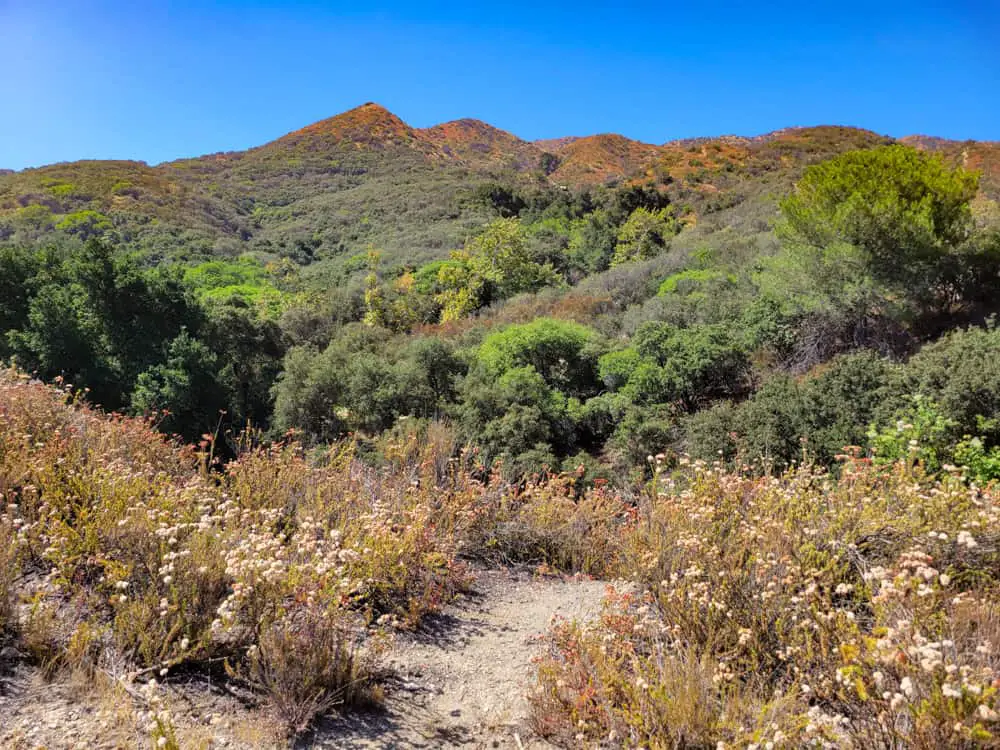
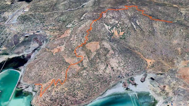
La Tuna Canyon Trail is a 5.9-mile loop that winds through the undulating peaks and valleys of the Verdugo Mountains northwest of Pasadena.
The desert landscape is painted in a variety of golds, greens, browns, and reds, which make for a visual tour de force that screams to be admired as you hike, bike, run or walk your dog. Total elevation gain crests at 1,427 feet and is challenging enough for even experienced hikers, taking just over three hours to complete at a modest pace. See our full guide for more details.
Mount Wilson Toll Road Climb
The Mount Wilson Toll Road Climb is a challenging 16.9 out-and-back trail that climbs 4,222 feet through the San Gabriel Mountains. There is a great variety of wildflowers in the spring, and you’ll get impressive views of the forest and city as you hike along the ridge. If you plan on hiking this trail, make sure to make an entry reservation with the Eaton Canyon Nature Center.
Trailhead directions: From I-210 E, take the exit for N Altadena Drive and continue for 2.8 miles. Turn right onto Crescent Drive, then turn right onto Pinecrest Drive, where you’ll see the trail entrance behind a gate.
North Arroyo Loop
The North Arroyo Loop is a short and sweet 2.1-mile trail that gains 114 feet in elevation and is suitable for all skill levels. The low incline and wide trail make it perfect for families and dog walkers. It is accessible year-round, but October through May is the best time to visit for temperate weather and wildflowers.
Trailhead directions: From I-210 West, take exit 22B for Arroyo Boulevard/Windsor Avenue. Turn left onto N Arroyo Boulevard, then turn right onto Rosemont Avenue. Continue for 0.5 miles, and the trailhead will be on your left. There is a parking lot on W Washington Boulevard if you make a right just after the trailhead.
Eagle Rock Canyon Trail
Eagle Rock is one of the most iconic sights in Pasadena, and this easy 1-mile loop trail is a wonderful way to see the formation from a different angle. Even over such a short distance, it climbs 249 feet, so you’ll get your heart rate up. At the peak, you’ll get sweeping city views as well as a great vantage point to watch the sunset if you go towards dusk. For more information on the hike, check out the Los Angeles County trail guide.
Trailhead directions: From CA-134 E, take exit 11 toward Figueroa Street. Turn right onto N Figueroa Street, then continue straight until it turns into Scholl Canyon Road. The trailhead will be on your right, inside Richard Alatorre Park.
Sturtevant Falls Trail
Set in the Angeles National Forest, Sturtevant Falls Trail is a moderate hike that gains 708 feet in elevation over 3.3-miles. After winding through the lush San Gabriel Mountains past old resort cabins, you’ll reach the impressive 50-foot Sturtevant Falls. You will need to display an adventure pass in your vehicle when using the forest for recreational purposes.
Note: The Sturtevant Falls Trail was closed in 2020 due to the Bobcat fire, and it is set to reopen to visitors on April 1, 2022.
Trailhead directions: From I-210 E, take exit 32 for Santa Anita Avenue toward Arcadia. Turn left onto N Santa Anita Avenue and drive for 1.7 miles. Continue onto Chantry Flat Road, drive for 3.3 miles, and turn left into the Chantry Flat parking lot.

