Cahuilla Mountain Trail Guide

Cahuilla Mountain Trail is a moderately difficult 6-mile out-and-back hike in the San Jacinto Ranger District near Anza, California. This out-and-back hike begins at around 4,480 feet and climbs steadily through chaparral, oak, and pine forests to a 5,604-foot summit with sweeping views of the landscape that Spanish explorer Juan Bautista de Anza once traversed.
Hikers interested in exploring a blend of chaparral and high-country scenery will enjoy this trail, which passes through a Research Natural Area dedicated to preserving unique ecosystems. Expect a steady ascent, no available water sources, and no restroom facilities at the trailhead.
Trail Details
| Trail Type | Out-and-back |
| Difficulty | Moderate |
| Length | 6 miles |
| Elevation Gain/Loss | +1,124 ft / -1,124 ft |
| Trailhead Coordinates | 33.596355, -116.780580 |
| Location | Anza, near Idyllwild, CA |
| Season | Year-round |
| Information Number | (909) 382-2921 |
Getting to Cahuilla Mountain Trailhead
From Idyllwild, head southeast on State Route 74 toward the town of Anza. After approximately 20 miles, turn onto Highway 371 and continue for several miles until you reach Forest Service Road 6S22 (also called Cahuilla Road). Follow this rough, unpaved road to reach the saddle parking area at around 4,480 feet in elevation. High-clearance vehicles are recommended, as the road can be uneven.
If traveling from the Temecula area, take Highway 79 south, then merge onto Highway 371 east toward Anza. Look for signs for Forest Service Road 6S22 and follow it carefully to the saddle parking area. Note that there are no restroom facilities or drinking water at the trailhead, so plan accordingly.
The Trail

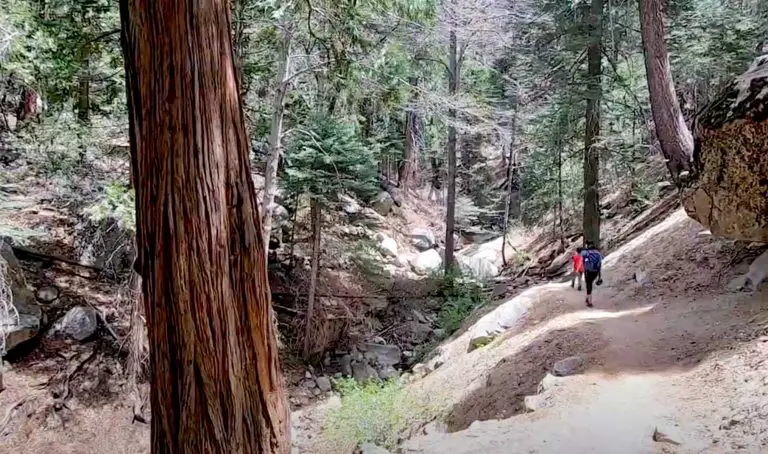
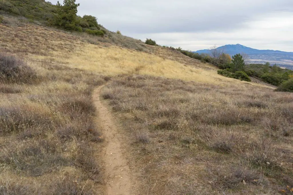
Starting at Cahuilla Saddle, the trail heads up the northeast slope through thick chaparral, live oak groves, and patches of Jeffrey pine. The ascent is gradual at first, providing glimpses of the surrounding valleys. As you climb, the vegetation transitions into more mature stands of pine, offering shade on warm days.

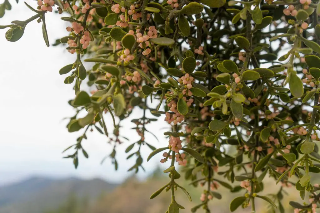
About halfway up, you’ll notice signs indicating that you are entering a Research Natural Area (RNA). RNAs are designated for scientific study and preserve examples of the region’s native ecosystems, so it’s especially important to stay on the trail and minimize human impact. Keep an eye out for resident wildlife, including mountain quail and, less commonly, the red diamond rattlesnake.

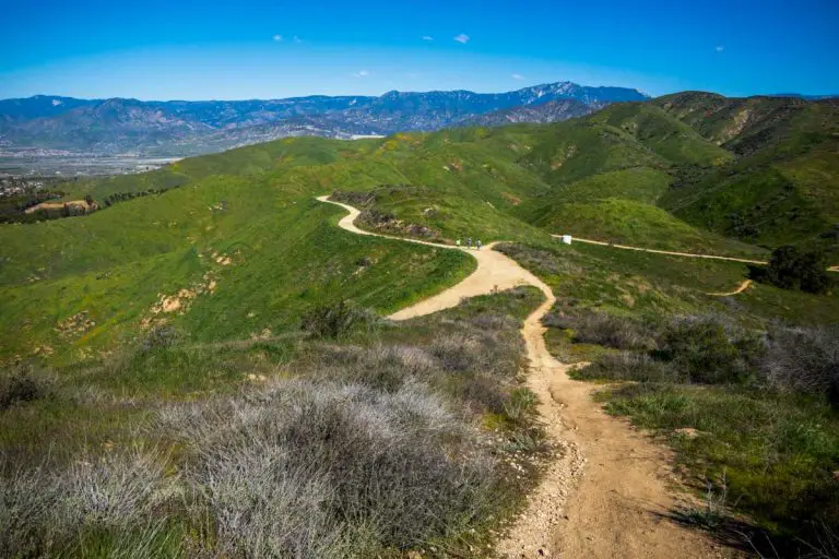
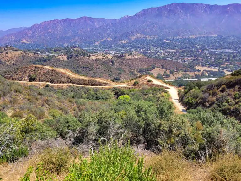
The final stretch of trail steepens slightly as it approaches the summit. At 5,604 feet, you’re rewarded with panoramic views that extend across the chaparral-covered hills and out toward desert vistas. On a clear day, you can make out part of the route that Juan Bautista de Anza traveled in 1776. After taking in the scenery and a well-deserved rest, simply retrace your steps downhill to return to Cahuilla Saddle.
Water and restrooms are unavailable along the way, so bring plenty of water and practice Leave No Trace principles by packing out all your trash. Permits are not required for hiking here, though it’s wise to check with the Idyllwild Ranger Station for current trail and road conditions before setting out.
Camping
There is no designated campground at the Cahuilla Mountain Trailhead, and campfires are not permitted in the wilderness. If you plan on staying in the area, you may find developed campgrounds or dispersed camping options elsewhere in the San Jacinto Ranger District or around Anza. Check out our guide to camping in Idyllwild for camping near Idyllwild, which is about an hour’s drive away.
If you opt for dispersed camping, remember that a free California Campfire Permit is required if using a gas stove or other portable flame sources. Always follow local fire restrictions and leave your campsite as you found it. For more information, contact the Idyllwild Ranger Station at (909) 382-2921.