Cougar Crest Trail – Big Bear Lake

Cougar Crest Trail is a moderately difficult, approximately 4.6-mile out-and-back hike near Big Bear Lake in Southern California. Winding through varied natural environments, it rewards hikers with mountain vistas and a chance to step onto the famous Pacific Crest Trail at its end.
Located on the north shore of Big Bear Lake, this trail offers an enjoyable climb for active individuals looking to gain some elevation without tackling overly steep terrain. Early on, the path gently ascends, but you’ll notice the altitude gain after the first mile. Hikers of most skill levels will appreciate the mix of views, forested sections, and the opportunity to link up with the legendary PCT.
Trail Details
| Trail type | Out-and-back |
| Difficulty | Moderate |
| Length | 4.6 miles (round trip) |
| Time | 2–3 hours |
| Elevation gain/loss | +700 ft / -700 ft (approx.) |
| Trailhead Coordinates | 34.26416667, -116.9102778 |
| Location | Near Big Bear Lake, California |
| Season | Year-round |
| Information Number | (909) 382-2790 |
Getting to Cougar Crest Trailhead
The Cougar Crest Trailhead is located along North Shore Drive (Highway 38), about 0.6 miles west of the Big Bear Discovery Center. If you’re starting from the Inland Empire area, make your way onto Highway 330 or Highway 38 toward Big Bear Lake. Once you reach the town, head to the north side of the lake via North Shore Drive. Look for signs directing you to the Discovery Center; continue west from the center for around half a mile to find the clearly marked trailhead parking.
The Trail
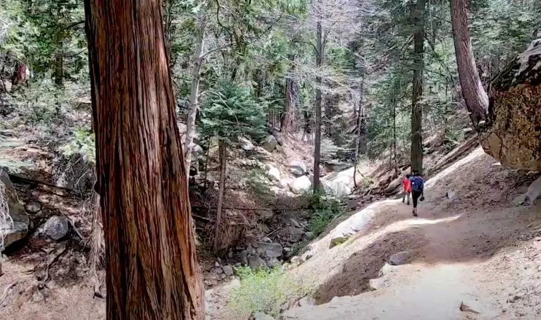
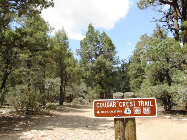
Cougar Crest Trail begins just off Highway 38, with a clearly marked sign at the trailhead. Over the first mile, you’ll notice gentle inclines weaving between clusters of pine trees and open stretches with views of Big Bear Lake to the south. While this initial stretch seems mild, the elevation is already around 7,000 feet, so be aware of thinner mountain air that can affect your pace and stamina.
After the first mile, the trail’s incline becomes more apparent. You’ll ascend through a mix of pine and fir forests, where you might spot chipmunks, birds of prey, and other wildlife that call these woodlands home. Occasionally, the path opens up to showcase ridgeline views and glimpses of the lake below. In late spring and early summer, watch for patches of wildflowers along the trail, adding some color to the forest floor.
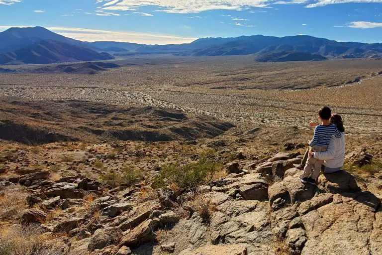
As you continue, the environment transitions from these moderately dense forests to more exposed sections, so pack extra water and sun protection. The steepest part tends to be in the middle section, but it remains manageable for most hikers accustomed to moderate mountain trails. Near the top, you’ll reach the junction with the Pacific Crest Trail (PCT), a famed 2,650-mile route that spans from Mexico to Canada. Bicycles are not allowed beyond this juncture, as PCT regulations prohibit them. At this point, some hikers choose to explore short sections of the PCT, while others take a break, enjoy the view, and then head back down the way they came.
On the return trip, be mindful of loose gravel on steeper sections and look for detours that offer slightly different vantage points. The descent is generally comfortable, giving you a chance to take in the scenery at a more relaxed pace. When you’re finished, you’ll emerge back at the same trailhead where you began.