Cuyamaca Peak Hiking Guide
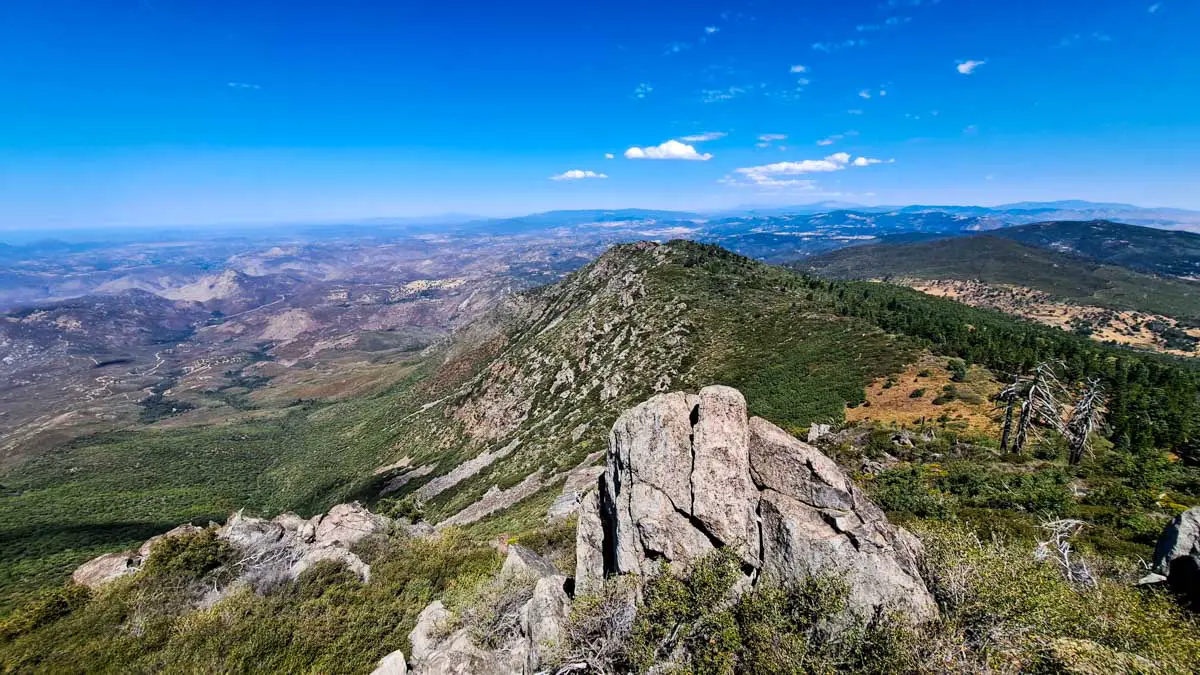
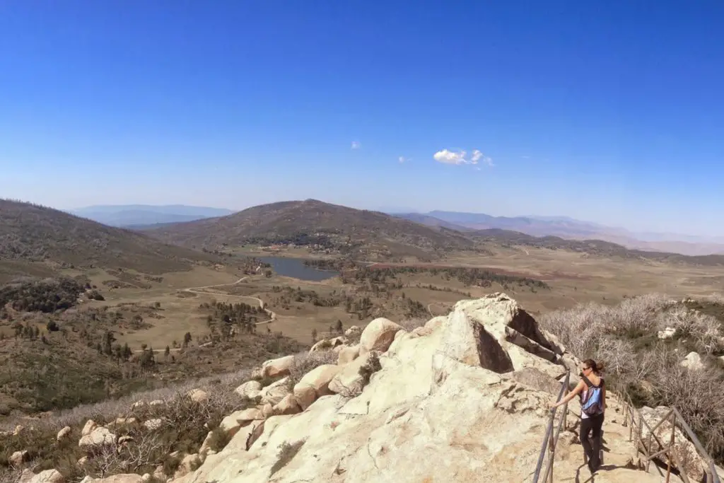
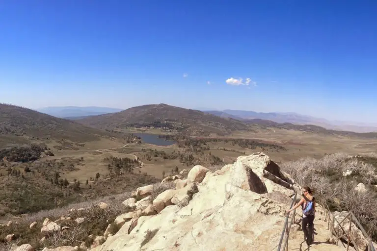
As the second-highest mountain in San Diego County, Cuyamaca Peak offers stunning of the surrounding landscape. Located in Cuyamaca Rancho State Park the peak has an elevation of 6,512 feet, providing vistas beyond San Diego to the Channel Islands and Mexico on clear days.
There are several trails open to hikers leading to Cuyamaca Peak and those can be accessed from the park’s two campgrounds: Green Valley Campground and Paso Picacho Campground.
Below, I’ll provide some information on each route, as well as some info on the state park and the campgrounds. OutdoorSoCal has published detailed guides for all of them, which are linked in the previous paragraphs.
Cuyamaca Peak Trailheads at Green Valley Campground
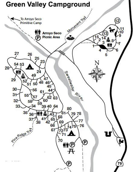
There are two trailheads for Cuyamaca Peak that begin at Green Valley Campground, the first campground you come to if you are entering the park from Interstate 8. See the map below for where the trailheads are located in the campground.
Arroyo Seco Fire Road Trailhead
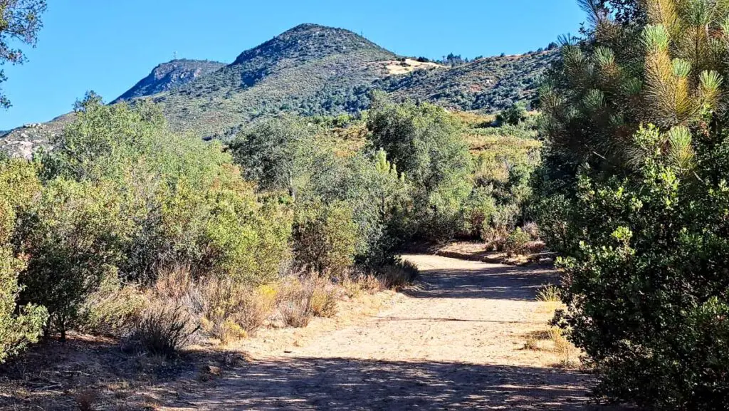
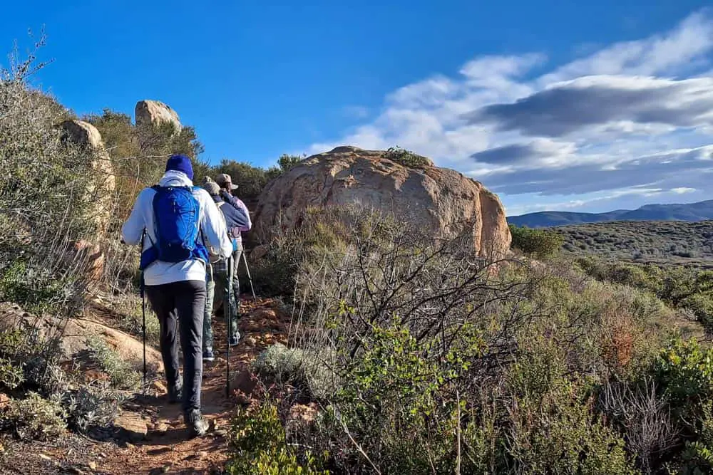
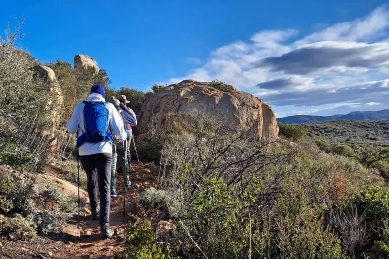
The Arroyo Seco Fire Road Trail begins at the Arroyo Seco Picnic Area located in the Green Valley Campground near the primitive camping sites at the north end. The hike to the peak is about seven miles on moderately difficult trails with approximately 2,500 feet of elevation gain.
Trail Details
| Type | Out-and-Back |
| Length | 14.3 miles |
| Difficulty | Moderate |
| Elevation Gain | ~2,500 ft. (beginning at ~4,000 ft. to 6,512 ft.) |
| Trailhead GPS | 32.906283-116.583839 |
Pine Ridge Trailhead
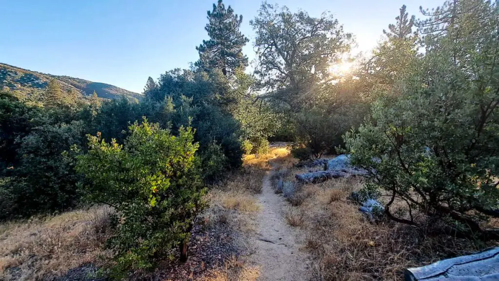
For a slightly longer hike to the peak, the Pine Ridge Trail begins between campsites 37 and 38, on the western side of the campground. The trail is approximately eight miles to the peak and offers sweeping views of the park’s seemingly endless valleys toward San Diego.

After approximately two miles take the South Boundary Fire Road Trail at the junction and merge onto the Arroyo Seco Fire Road Trail (32.913277-116.596159) leading to Cuyamaca Peak.
Trail Details
| Type | Out-and-Back |
| Length | 16.1 miles |
| Difficulty | Moderate |
| Elevation Gain | ~2,500 ft. (beginning at ~4,000 ft. to 6,512 ft.) |
| Trailhead GPS | 32.903905, -116.585153 |
Cuyamaca Peak Trailheads at Paso Picacho Campground
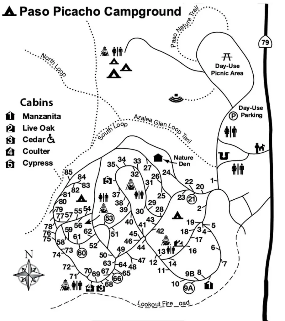
Paso Picacho Campground is the location of two additional trailheads for Cuyamaca Peak. See the map below for where the trailheads are located within the campground.
Azalea Glen Loop Trailhead
The Azalea Glen Loop Trail begins as a mild to moderately difficult trail through oak trees and dense forest vegetation. It’s named for the Western Azalea that ranges in color from white to pink with yellow blotches typically blooming in the late spring or early summer.
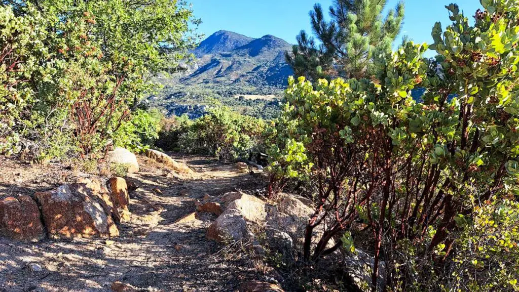
The trail becomes increasingly difficult along the 1.5. mile Conejos Trail leading to the last half mile of the hike. From here take the paved Fire Lookout Road Trail for a half mile to Cuyamaca Peak. The hike has an elevation gain of approximately 1,600 feet.
Trail Details
| Type | Out-and-Back |
| Length | 9.2 miles |
| Difficulty | Moderate to difficult |
| Elevation Gain | ~1,600 feet |
| Trailhead GPS | 32.959473, -116.580469 |
Fire Lookout Road Trailhead

The Fire Lookout Road Trail provides a paved trail the full length of the hike to Cuyamaca Peak from the campground. The hike provides panoramic views of the eastern mountains and valleys. Dogs are allowed but owners are required to use a leash.
Trail Details
| Type | Out-and-Back |
| Length | 5.4miles |
| Difficulty | Moderate |
| Elevation Gain | ~1,600 feet |
| Trailhead GPS | 32.956535, -116.583649 |
Getting to Cuyamaca Rancho State Park
Take I-8 about 35 miles east of San Diego. Take exit 40 and take CA-79 north for about 5 miles to Green Valley Campground and an additional 7 miles to reach Paso Picacho.
Day-use visitors can access the picnic areas and parking lots at the campgrounds for $10 per vehicle. Visitors may also park at the legal turnouts for free along CA-79.
About Cuyamaca Rancho State Park

Cuyamaca Rancho is located in the Cuyamaca Mountains, an area known for oak woodland forests, pine stands, and grassy meadows. The 24,677-acre park is located in Southern California’s Peninsular Ranges, and more than half of the park is classified as wilderness; meaning all vehicles and bicycles are prohibited.
The park offers more than 100 miles of trails and from Cuyamaca Peak provides spectacular views of the Pacific coastline, Colorado Desert, Mexico, and the Salton Sea. The park also has a long history of human habitation, and the park service offers exhibits about Native Americans, gold mining, and natural history.
Lake Cuyamaca is located north of Paso Picacho campground and offers boating and seasonal fishing. Swimming is not allowed.
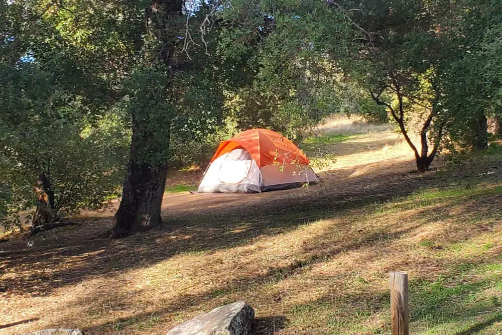
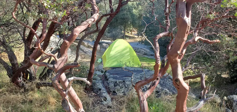
Green Valley and Paso Picacho Camping
The Green Valley Campground has 81 sites and is open April through November. The Paso Picacho Campground has 85 sites and is open year-round. Green Valley Campground is closed from December 1 through March 31.
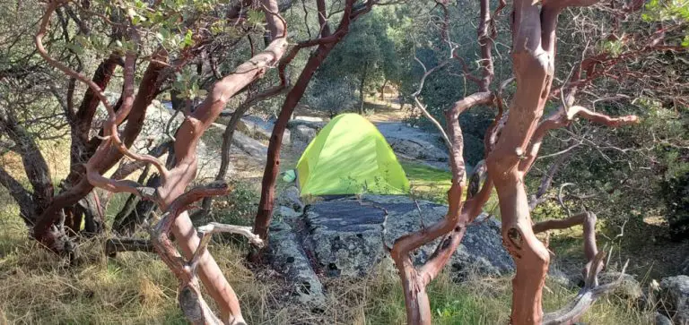
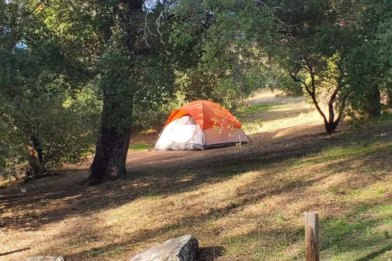
The campsites at each of the campgrounds have a picnic table and fire ring. The campgrounds have flush toilets and paid showers. There are no hookups available. Dogs are allowed at the campgrounds but prohibited on the trails except for the Fire Lookout Road Trail. Check out our guide to camping options in Cuyamaca for more details.

