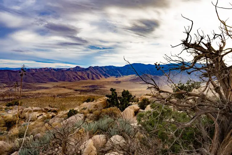
Grays Peak Trail – Big Bear Lake

Grays Peak Trail is a moderately challenging 3.25-mile out-and-back hike in the San Bernardino National Forest near Big Bear, California. This trail offers hikers stunning panoramic views of Big Bear Lake and the surrounding mountains, making it a worthwhile adventure for outdoor enthusiasts.
The terrain features a gradual ascent through a mix of forest and boulder fields, culminating in a brief scramble to the summit. The trail is best enjoyed in the summer and fall when the weather is more favorable. It is closed in winter and spring for eagle nesting.
Trail Details
| Trail Type | Out-and-back |
| Difficulty | Moderate |
| Length | 3.25 miles |
| Elevation Gain | Approximately 800 feet |
| Trailhead Coordinates | 34.2476, -116.9719 |
| Location | San Bernardino National Forest, near Fawnskin |
| Season | Summer & Fall |
How to Get to the Grays Peak Trailhead
To reach the Grays Peak trailhead from Big Bear Lake, take Highway 38 (North Shore Drive) heading east. After about 6 miles, look for the trailhead on the highway’s west side, just across from Grout Bay Picnic Area.
There’s ample parking available at the trailhead. Note that the area is closed during the bald eagle nesting season from winter to spring, sometimes extending into summer.
Trail Overview
From the trailhead, hikers will begin with a steady ascent for about half a mile until merging with Forest Road 2N04X. At this point, turn right to join the 2N70 road. The next 2.75 miles are a mix of forest paths and rocky terrain leading up to the summit of Grays Peak.
As you climb, you’ll be surrounded by lush vegetation and might spot local wildlife, including deer and various bird species.
The last stretch to the peak includes a boulder scramble, which can be challenging but rewards hikers with breathtaking views of Big Bear Lake and the San Bernardino Mountains.

