Lower Canyonback Trail Guide
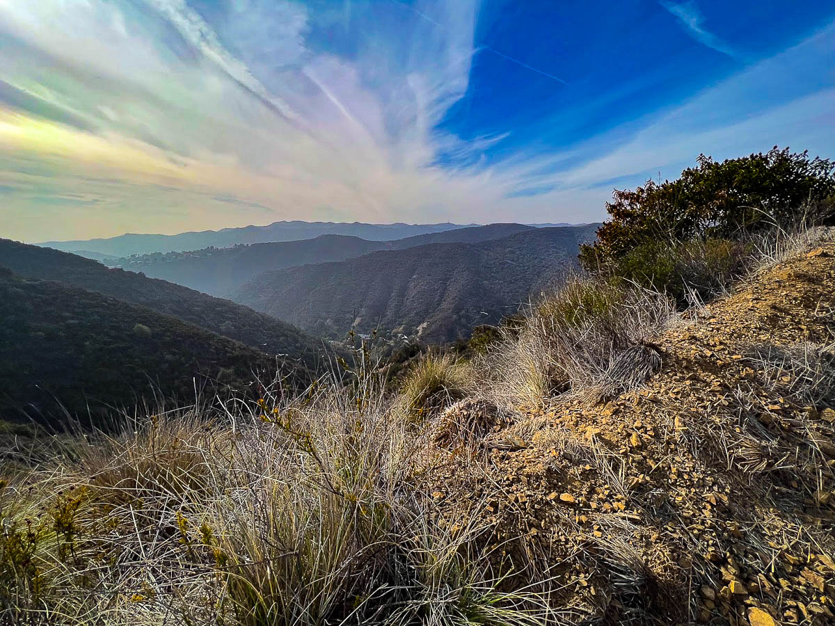
Located in the Westridge Canyonback Wilderness Park, the Lower Canyonback Trail is a straightforward path along a fire road that takes you through the eastern Santa Monica Mountains.
The out-and-back trail climbs 600 feet over a total of 4.2 miles, and there are plenty of steep cutaway trails if you want a more challenging hike.
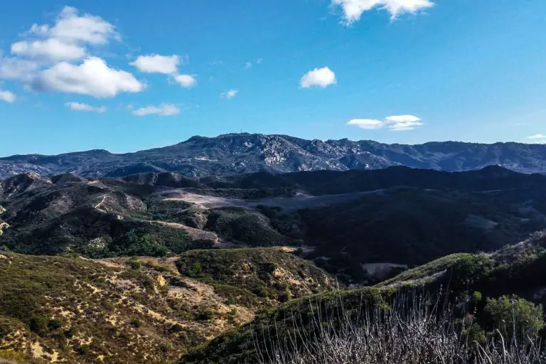
On a clear day you’ll see down the canyons all the way to downtown Los Angeles and the Pacific ocean, and there’s even a bench swing along the way where you can sit and enjoy the views.
Trail Details
- Trail type: Out-and-back
- Difficulty: Easy
- Length: 4.2 miles
- Elevation gain and loss: 600 feet, -600 feet
- Trailhead Coordinates: 34.08231, -118.49548
- Location: Westridge Canyonback Wilderness Park
- Season: Year round
Getting to Lower Canyonback Trail
From I-405, take exit 57 towards Sunset Boulevard. Turn left onto North Church Lane and continue for 410 feet before turning right onto Sunset Boulevard. Continue for 1.2 miles, then turn right onto North Kenter Avenue. Keep on North Kenter Avenue for 2.2 miles, and park on the street near where it dead-ends onto the trailhead.
The Trail
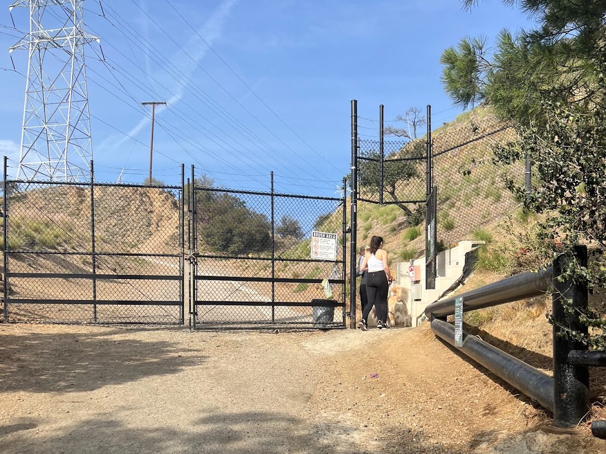
The Lower Canyonback trail is nestled deep in the eastern Santa Monica Mountains, located in the Westridge-Canyonback Park. The park contains more than 1,500 acres of open space and is bordered by several canyons as well as San Vicente Mountain Park. The trail is open to hikers, mountain bikers, and equestrians, and dogs are welcome on leash.
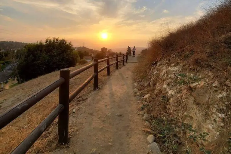
The first portion of the trail is paved, and the whole length of the fire road is smooth and hard-packed for a comfortable walking surface. If you want a more challenging hike, there are several parallel cutaway trails that you can take for a choose-your-own adventure.
The first cutaway trail is visible from the entrance, and the right hand trail takes you up a ridge, rejoining the main trail after 0.4 miles.
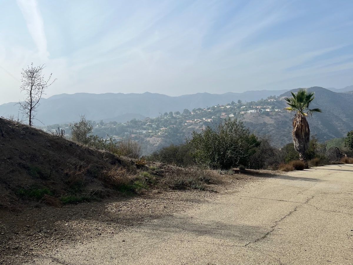
After an initial ridge, the trail levels out and you get views down the canyon to the west. There are great views of the houses nestled in the hills, and on clear days you can see all the way out to the Pacific ocean. As the trail starts to rise, you may catch a glimpse of the Getty Center on the second ridge to the east.

A little under a half-mile into the hike, the trail branches off in three directions. To stay on the Lower Canyonback Trail, take the center fork that turns left up the ridge. The first trail on the left heads lower into the canyon, but it has a built-in pump track that makes it great for mountain bikers.
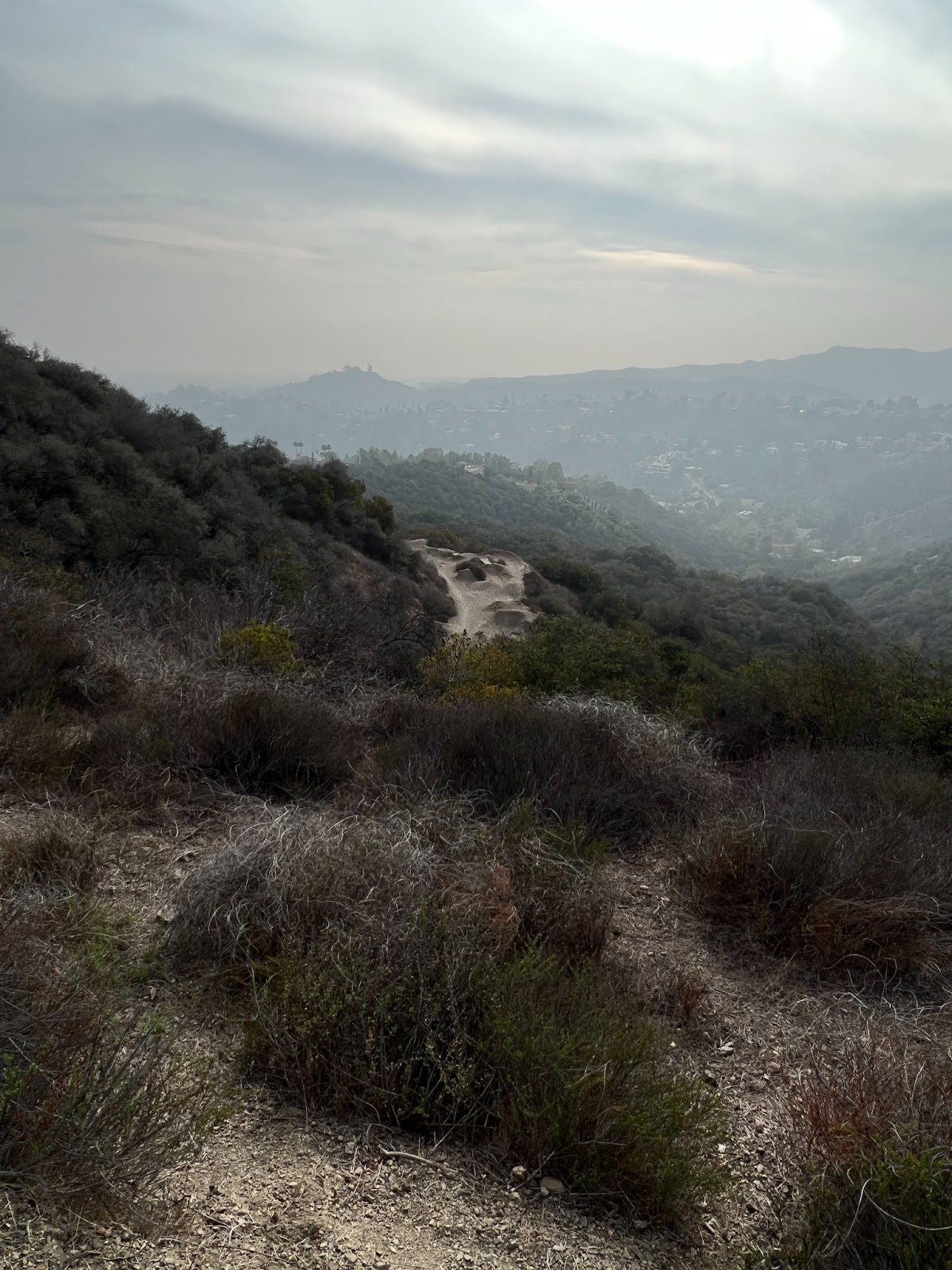
The trail continues along the ridgeline, taking you underneath the phone line pylons that dot the mountains.
Because the trail is pretty far from the freeway, there’s no traffic noise and you can enjoy the sounds of the birds that call the chaparral home. There are plenty of small shrubs and oak trees that form a lovely habitat, but they don’t provide much shade over the trail.
Be sure to bring sunscreen and a hat if it’s sunny, because you’ll be exposed to the elements while walking along the ridges.

About 0.7 miles from the entrance, there’s a cutaway trail that leads to a tree-topped ridge complete with a bench swing. The trek up to the top is the steepest part of the hike, but the views make the uphill climb worth it.
If you’d rather stick to the fire road, bear right and you’ll begin to catch sight of the eastern canyons.
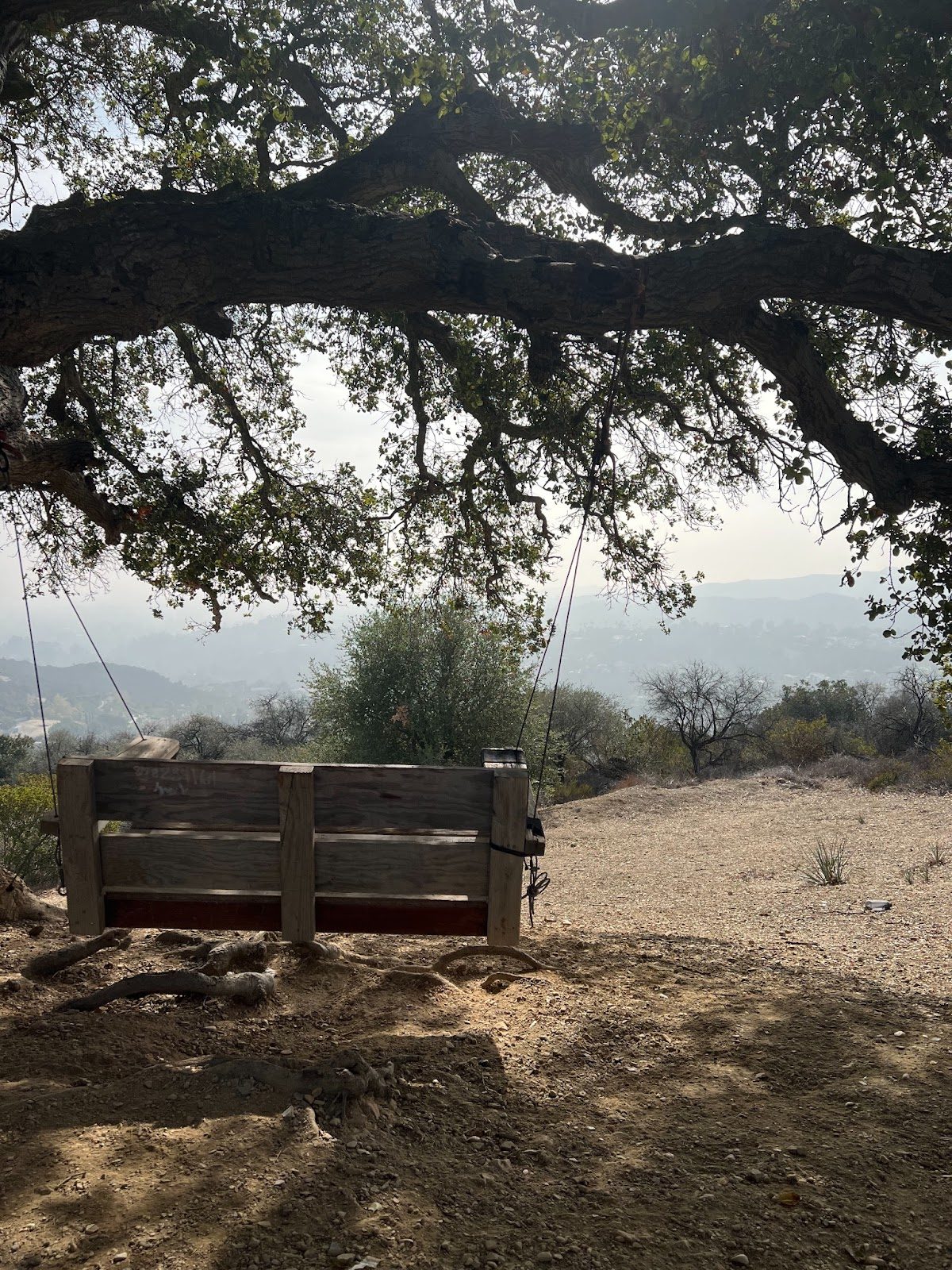
The swing at the top of the ridge overlooks the canyon and the ocean, and it’s the perfect place to sit for a few minutes and have a snack or some water.
There’s another bench further up the cutaway trail behind the oak tree, which is about a mile from the trail entrance. This makes it a great destination if you want a shorter, 2.0-mile round-trip hike instead of the full 4.2-mile hike.

The fire road and the cutaway trail that leads to the swing meet up at the northern base of the ridge, but the trail splits again almost immediately.
The fire road is on the left and has a very gentle incline, while the ridge trail on the right provides a steep uphill that’s sure to get your heart racing.

Once the split paths meet back up at the fireroad, the trail turns inland. Although you’ll lose sight of the ocean, you’ll be able to see the skyscrapers in Century City and downtown Los Angeles off in the distance.

The last 0.3 miles of the trail are paved, and it drops down into the Mountain Gate Country Club Estates. This section of the trail is popular with residents and dog-walkers, and it’s more heavily trafficked than the portion close to North Kenter Avenue. The end is marked with a metal gate, but if you feel like prolonging your hike you can walk 0.4 miles through the neighborhood to the Upper Canyonback Trail entrance.

