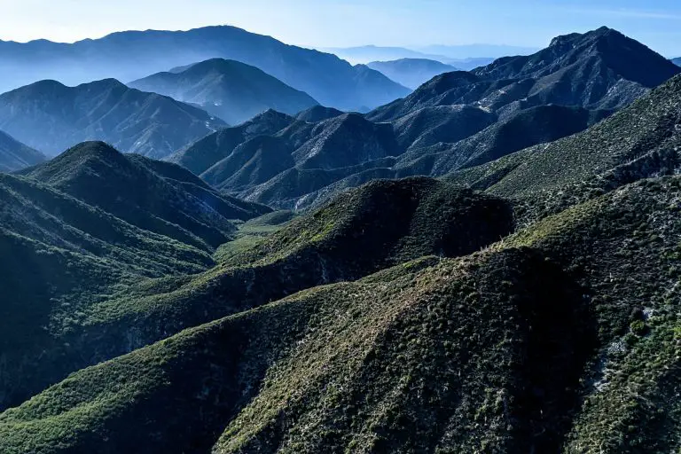
National Parks Near San Diego
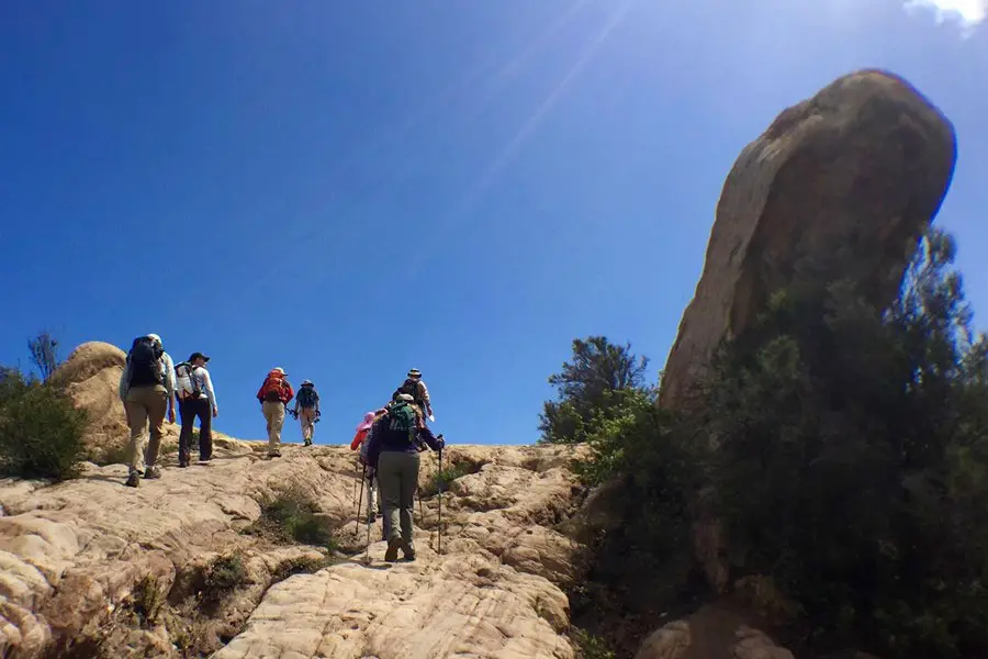
From the rugged coastal cliffs to the vast expanses of desert, the region surrounding San Diego is teeming with natural wonders waiting to be explored. With several national parks near San Diego and just a short drive away, adventure seekers and nature lovers alike will find endless opportunities for exploration and outdoor recreation. In this guide, I’ll introduce you to some of the best national parks and national monuments near San Diego, each with its own unique landscape, flora, and fauna.
Santa Monica Mountains National Recreation Area
Located along the coast just north of Los Angeles, the Santa Monica Mountains National Recreation Area is only 35 miles away from downtown. From San Diego, in decent traffic (always a crap shoot in LA), it’s a 2 to 3-hour drive, depending on where you are going in the park. The recreation area offers 157,700 acres of wilderness with more than 500 miles of public trails. The unique volcanic mountains are home to a vast array of plants and wildlife, and the trails offer stunning views of the deep canyons as well as the Pacific Ocean.
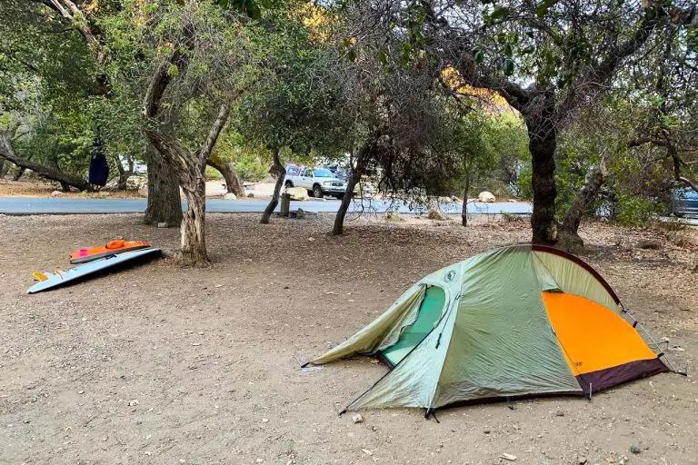
There are trails suitable for all levels of hikers, from short jaunts like the 1.5-mile-long Satwiwa Loop to strenuous treks like the Backbone Trail. The infamous Backbone Trail follows along the spine of the Santa Monica Mountains for 67 miles, taking you through the heart of the best-protected Mediterranean habitat in the world. Many people choose to do the trail in sections over several day trips, as there is no camping allowed along the trail. There is one campground if you wish to stay in the park; the centrally-located Circle-X Ranch which is open year-round.
The many ridges and canyons in the park make it great for mountain bikers, and the Backbone Trail, Zuma Ridge Trail, and Wendy Trail are all very popular.
Several trails in the park are open to horseback riders as well, and Palo Comado Canyon, Satwiwa, Zuma Canyon, and Solstice Canyon all have parking for horse trailers. Rock climbers will also find several crags to summit, and Echo Cliffs and Malibu Creek are particularly well-known.
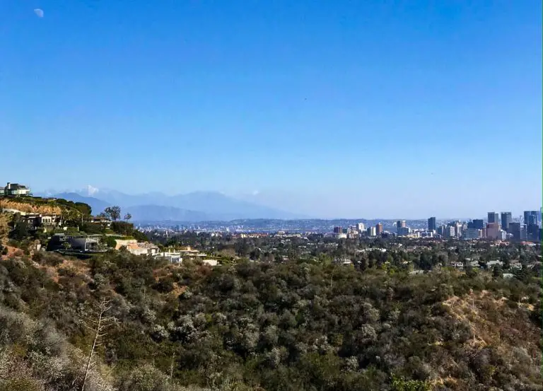
While not within the national recreation area, Lower Canyon Back Trail and Getty View Trail are two hikes in the Santa Monica Mountains that are worth checking out.
San Gabriel Mountains National Monument
Covering more than 346,000 acres of the Angeles National Forest and the San Bernardino National Forest, the San Gabriel Mountains National Monument is around 125 miles north of miles away from central San Diego. It takes a little over 2 hours to get there.
It boasts some of the greatest natural biodiversity in the world and is home to more than 160 rare, threatened, and endangered species, including the California Condor and Nelson’s Bighorn Sheep.
Hiking, mountain biking, horseback riding, swimming, hang-gliding, hunting, and fishing are all popular pastimes during the warm months. There are more than fifteen campgrounds located throughout the monument, so there are plenty of places to stay for a night or more.
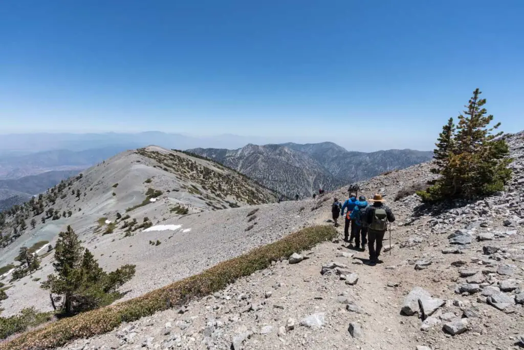
Mt. San Antonio, also known as Mt. Baldy, is the highest point in the San Gabriel Mountains. It’s great for hiking in the summer, but it’s best known as a snowy destination for cross-country skiing, downhill skiing, and snowboarding in the winter.
For fans of history and science, there is plenty to explore at the monument. There are more than 600 archeological sites in the mountains, including two Tongva rock art sites listed on the National Register of Historic Places.
The Mt. Wilson Observatory is worth a stop for stargazing, and you can see the telescope that Edwin Hubble used during his research.
Channel Islands National Park
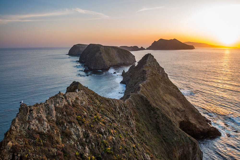
Although getting to the Channel Island National Park requires planning your boat ride in advance, the archipelago is well worth the trip. Boats leave from Oxnard and Ventura, a little over a three’s drive north of San Diego.
Chartered trips leave daily in the summer, with fewer trips in the off-season, weather and tides permitting. The boat ride takes about an hour, and if you’re lucky you’ll see dolphins, porpoises, or even whales along the way.
There are five islands in the archipelago: Anacapa Island, Santa Cruz Island, Santa Rosa Island, San Miguel Island, and Santa Barbara Island. Anacapa and Santa Cruz Islands are the largest and most popular for day trips because you can explore one in half a day. Each has miles of spectacular hiking trails, and the sandy beaches and calm water are ideal for kayaking, paddle boarding, swimming, and snorkeling in the kelp forests.
Santa Rosa, San Miguel, and Santa Barbara Islands are smaller, but they still contain hugely diverse ecosystems – the Island Fox only lives on the Channel Islands, and there are three subspecies of birds that are endemic to the one-square-mile Santa Barbara Island. Native plants thrive, and colonies of sea birds, sea lions, and seals live along the shore.
There are no services or lodging besides campgrounds on the islands, so you have to pack your own food and water accordingly. If you don’t feel like roughing it, there’s also the option for a multi-day boat trip where you explore the islands during the day and sleep onboard.
Sand to Snow National Monument
Located around 120 miles northeast of San Diego, the Sand to Snow National Monument stretches up from the desert floor of the Coachella Valley to the San Bernardino Mountains. It covers three distinct ecosystems, and more than 1,600 species of plants flourish in the monument.
The variety in the landscape means that there are many unique opportunities for hiking and mountain biking. Trails in the Whitewater Canyon Preserve take you through the desert, while those in the Big Morongo Canyon Preserve go through a marshy habitat.
Seasoned hikers can take on the 30-mile stretch of the Pacific Crest Trail that runs through the monument, which in its entirety runs more than 2,600 miles from Mexico to Canada. This portion is called the “Nine Peaks Challenge” and has about 8,300 feet of elevation change over nine mountains. Backcountry camping is allowed in addition to the monument’s campsites, so it is possible to take a multi-day backpacking trip.
San Gorgonio Mountain is the signature site at the monument, and at 11,503 feet high it is the tallest point in California south of the Sierra Nevadas. Although it gets hot in the summer, spring, and fall are excellent times to hike and explore the springs and waterfalls on the mountain. Come winter, you’ll be able to cross-country ski across the snowy peak.
Joshua Tree National Park
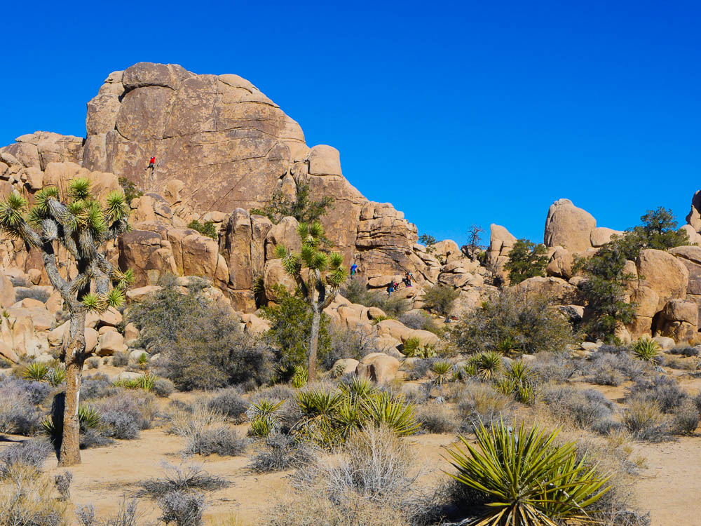
A perennial favorite of hikers and climbers, Joshua Tree National Park lies in the high desert northeast of San Diego. The nearest entrance is around 150 miles from San Diego, and it takes about 2 hours and 30 minutes to get there (as always, in good traffic). Its name comes from the spiky Joshua trees that dot the landscape, which are actually not trees at all, but a type of yucca.
The park marks the meeting point of two distinct ecosystems, the Mojave Desert and the Colorado Desert. There are over 300 miles of hiking trails in the park, from short loops like the Bajada Trail to longer, steeper trails like the Skull Rock Trail or the 8-mile out-and-back Boy Scout Trail. The center loop around the park is paved, which makes it great for a leisurely walk or bike ride.
The giant rock formations scattered across the park are a treat for climbers and boulderers, and Joshua Tree is a world-famous destination for its crack, slab, and steep face climbing. With more than 8,000 climbing routes and 2,000 boulder problems, there is something for every skill level.
Winter and spring are the best times to visit Joshua Tree because the summer heat makes hiking difficult and even dangerous. There are five campsites in the park, as well as nearby accommodations in Twentynine Palms.
Mojave National Preserve
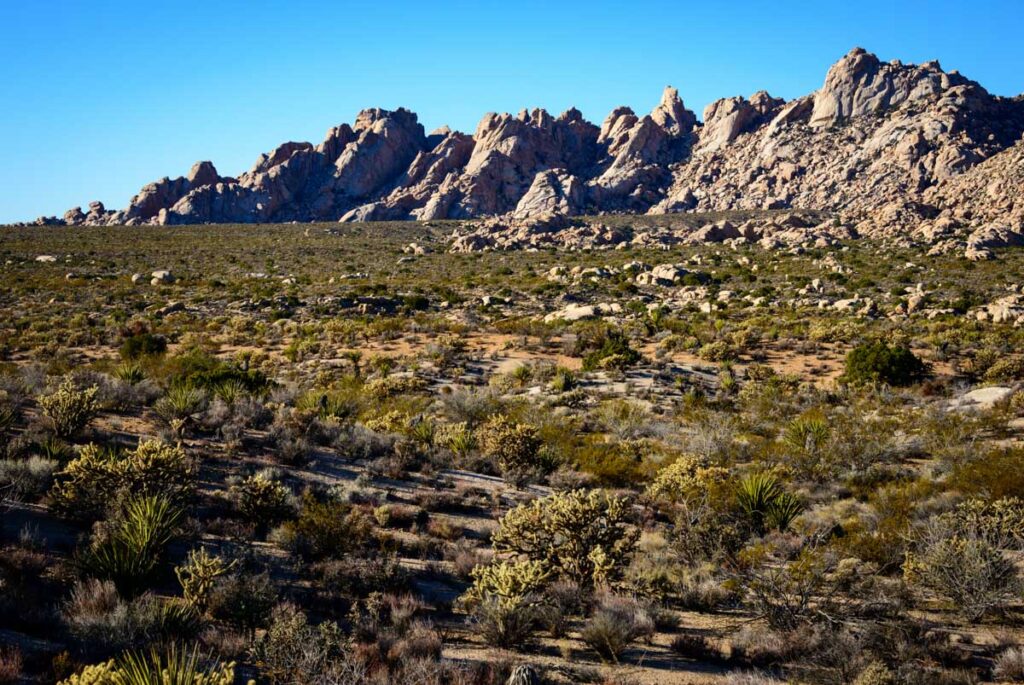
Set near the California-Nevada border, the Mojave National Preserve is further afield from San Diego, but still worth keeping on your radar. It’s about 280 miles northeast of San Diego and a 4-hour 30-minute drive. The preserve features a dramatic landscape that’s popular with hikers, climbers, mountain bikers, off-roaders, and horseback riders. Although there are few established trails, the area offers ample opportunities for cross-country hiking.
One of the best-known hikes in the preserve is around the Kelso Dunes, which cover 45 square miles and are some of the largest sand dunes in the country. You might hear a rumbling sound while walking, and the “singing sand” is caused by hot sand on the surface breaking over the cold sand below.
Another unique geological feature you can visit is the lava tube, formed thousands of years ago by molten lava. A short walk and a set of metal stairs will take you underground, where you can explore the passage.
The relatively cool weather and beautiful wildflowers make spring an excellent time to visit the preserve. Many species begin blooming in late March, but flowers on the high peaks usually don’t open until early May.
There are two designated campsites in the preserve, but camping in previously-used undeveloped sites is allowed. This makes the preserve great for backpackers, who can enjoy the solitude of nearly 700,000 acres and make their camp under the canopy of stars visible in the unpolluted night sky.
Sequoia and Kings Canyon National Parks
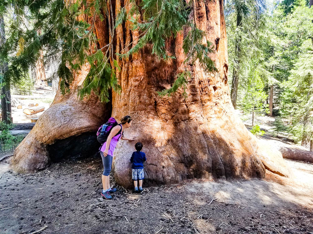
The world’s largest trees grow 300 miles away from San Diego, in central California’s Sequoia and Kings Canyon National Parks. Huge mountains and rugged foothills make the parks a sanctuary for wildlife, and there’s plenty of space for hiking in the spring and skiing in the winter. Although portions of the parks burned during summer wildfires, the groves are open to visitors and around 80% of the giant sequoias remain standing. One of my favorite spots, is the Trail of 100 Giants.
Giant sequoias only grow on the western slope of the Sierra Nevada, and the Giant Forest has several hiking trails that take you through the grove. This is where the world’s largest living tree grows, known as General Sherman. Grant Grove also has several trails for day hiking, while Cedar Grove has excellent wilderness trails that pass by towering cliffs and waterfalls.
There are several granite domes in the park, the largest of which is Moro Rock. It has a built-in stairway and handrails, but the 350 step climb is strenuous. As you ascend, you’ll see the peaks of the Great Western Divide as well as the San Joaquin Valley and the vast forests.
Another notable feature in Sequoia National Park is the Crystal Cave, a marble cavern that’s only accessible on a guided tour during spring, summer, and fall.
There are fourteen different campgrounds in the parks, as well as cabins and lodges if you want a more luxurious stay.
Death Valley National Park
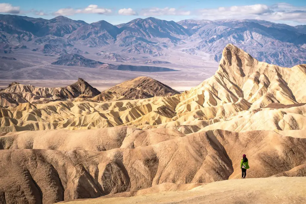
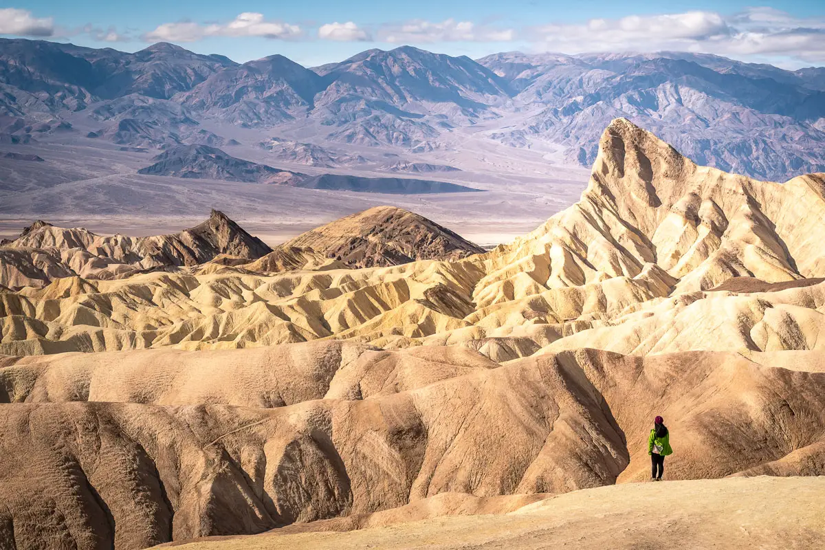
Death Valley National Park lies only 85 miles east of Sequoia and Kings Canyon National Parks, and is around 300 miles from San Diego, depending on where in this large park you plan to visit. Sometimes known as the “place of superlatives,” Death Valley is the biggest national park outside of Alaska, the lowest and driest place in the United States, and the hottest place in the world.
Although the landscape is formidable, there are plenty of interesting sites to explore. At 282 feet below sea level, Badwater Basin marks the lowest point in the US. The salt flats extend nearly 200 square miles, and an easy 1.5 mile walk will take you out into the middle of the ancient lakebed.
Zabriskie Point offers one of the most iconic views of Death Valley National Park, and it looks out over the badlands and the salt flats to the jagged Panamint Mountains. It’s especially popular at sunrise and sunset, because the long shadows emphasize the dramatic geography. The vista is accessible from a 0.25 mile paved trail, and there are several longer hiking trails that begin at this point. The striking hills known as Artists Palette are another gem, because they’re streaked in volcanic deposits that are red, orange, yellow, blue, pink, and green.
There are many hotels and campgrounds in the park, which are perfect for escaping the afternoon heat if you’re staying for multiple days. Spring is the most temperate time of year, but keep in mind that temperatures can fluctuate 30℉ or more from day to night and pack accordingly.
Pinnacles National Park
Pinnacles National Park is the seventh-smallest national park, but it is absolutely worth the 400-mile drive from San Diego. The volcanic formations that give the park its name formed around 23 million years ago, and the now-rounded rocks are a haven for hikers, climbers, and spelunkers.
There are more than 30 miles of trails in the park, ranging from flat stretches of grassland to steep climbs along the pinnacles themselves. One favorite is the Balconies Cave Trail, a 2.4 mile lollipop loop through a rocky canyon and a dark talus cave. The cave is home to a bat colony, so keep an eye out for winged inhabitants while you walk.
Another talus cave is located on the 1.5 mile Bear Gulch Trail, which ends at a reservoir that’s the perfect place for a picnic lunch.
The park also contains hundreds of climbing routes, from straightforward top ropes to multi-pitch climbs along Machete Ridge. Rock climbing isn’t allowed while raptor advisories are in place, in order to protect fledgling birds. The park contains more than 20 species of raptors, including peregrine falcons, golden eagles, Cooper’s hawks, American kestrels, and long-eared owls.
There is one campground at the park; otherwise the nearest large town is Salinas, 36 miles away from the park’s west entrance.

