Sugarloaf National Recreation Trail Guide
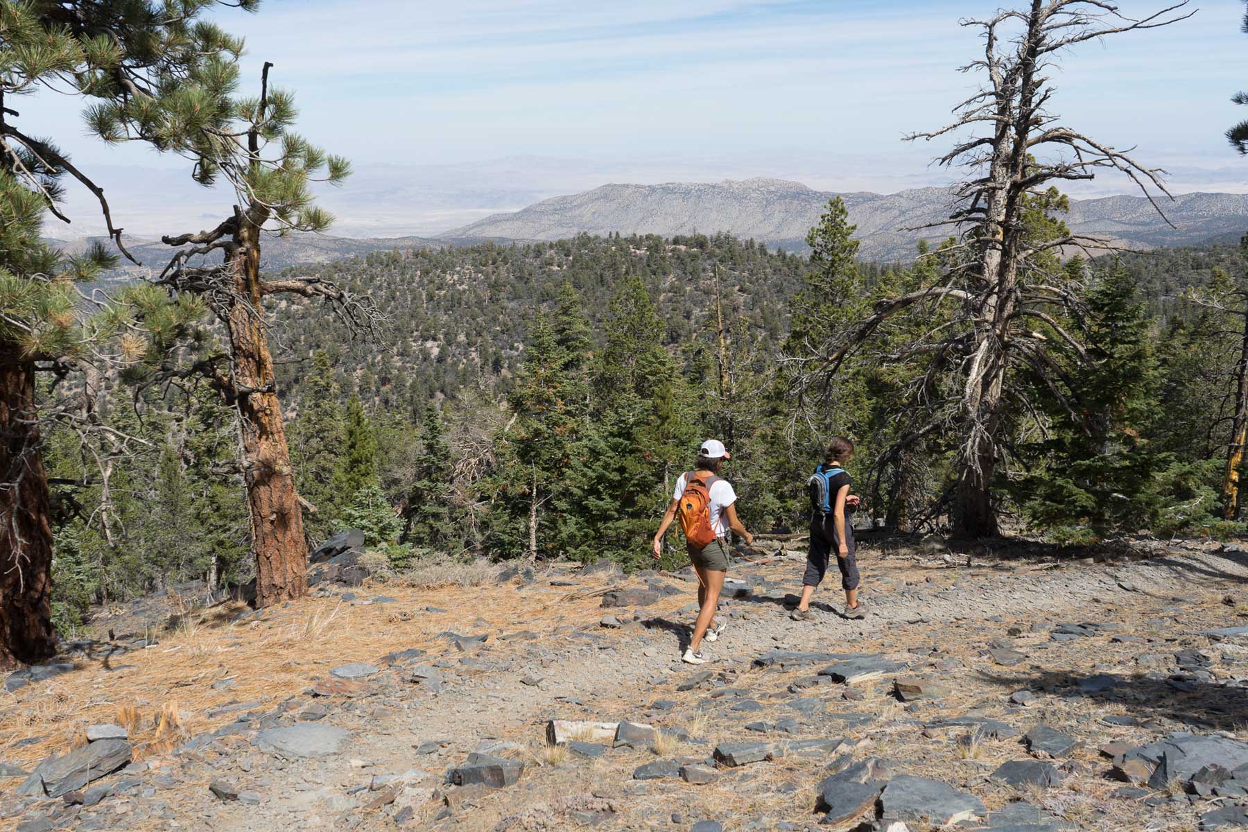
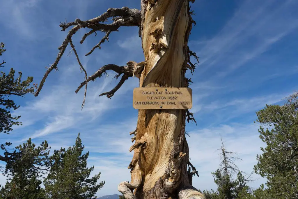
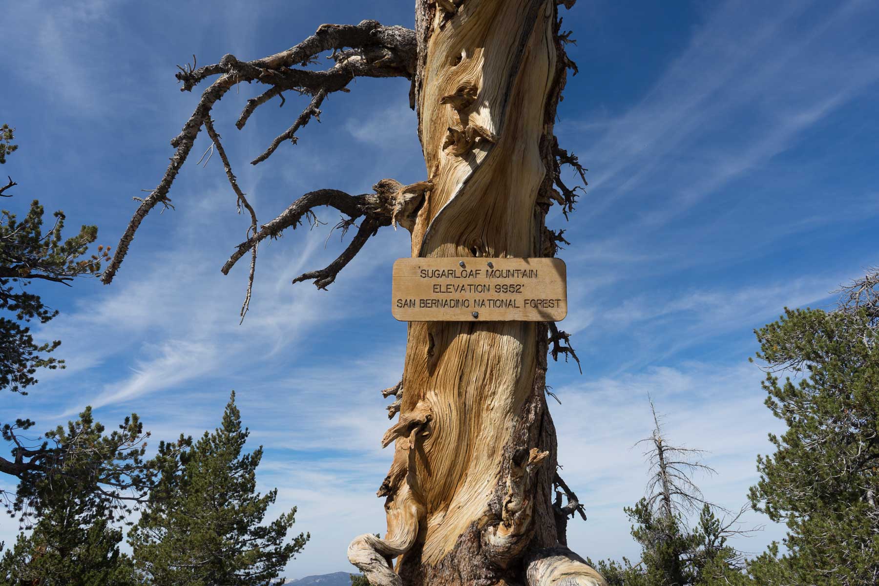
Sugarloaf National Recreation Trail is a difficult 10-mile out-and-back route near Big Bear, California, leading hikers to the highest point in the Big Bear Valley at 9,952 feet.
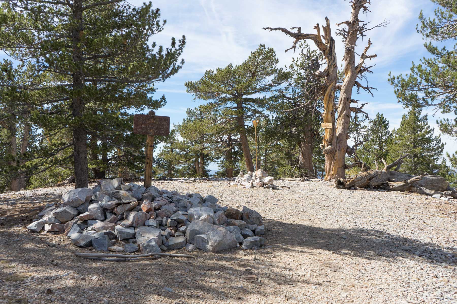
Although the summit is mostly covered by pines and other forest growth, the trek itself provides a challenging ascent and a chance to explore the rugged terrain of the San Bernardino National Forest.
The trail begins with a gated dirt road that occasionally runs alongside Green Creek, offering a varied landscape for those seeking a strenuous, high-elevation experience. Overall, this hike appeals to seasoned hikers looking for a scenic yet tough mountain adventure.
Trail Details
| Trail type | Out-and-back |
| Difficulty | Difficult |
| Length | 10 miles |
| Elevation gain and loss | TBD |
| Trailhead Coordinates | 34.218711, -116.805989 |
| Location | Near Big Bear, California |
| Information Number | 1-909-382-2790 |
Getting to the Sugarloaf National Recreation Trailhead
From the south end of Stanfield Cutoff on Big Bear Boulevard (Highway 38), drive approximately 6 miles south toward Redlands. Keep an eye out for the intersection of Highway 38 and Hatchery Road, where you’ll turn right onto Forest Road 2N93. Follow this dirt road until you see the Sugarloaf Trail sign on your right, then park in the available turnout.
If you are traveling from other parts of Southern California, the main goal is to connect with Highway 38 near Big Bear. Once on Highway 38 heading south, watch for the Hatchery Road intersection, then make the same right onto 2N93 to reach the trailhead.
The Trail
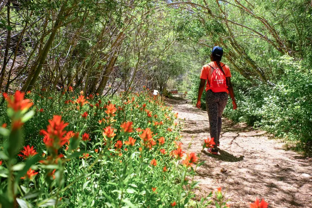
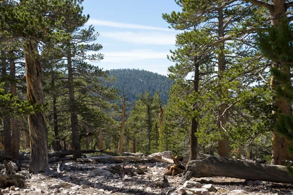
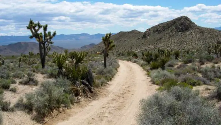
Beginning at the dirt turnout, the first two miles of the Sugarloaf National Recreation Trail follow a gated, closed-off road. In this initial stretch, you’ll occasionally walk alongside Green Creek, which adds a peaceful water element to the forested setting. The road is not particularly steep at the start, but the rugged terrain of the San Bernardino National Forest is immediately noticeable, with tall conifers flanking either side of the track.
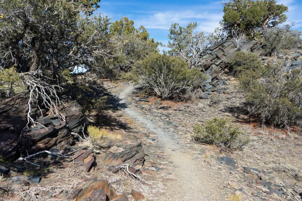
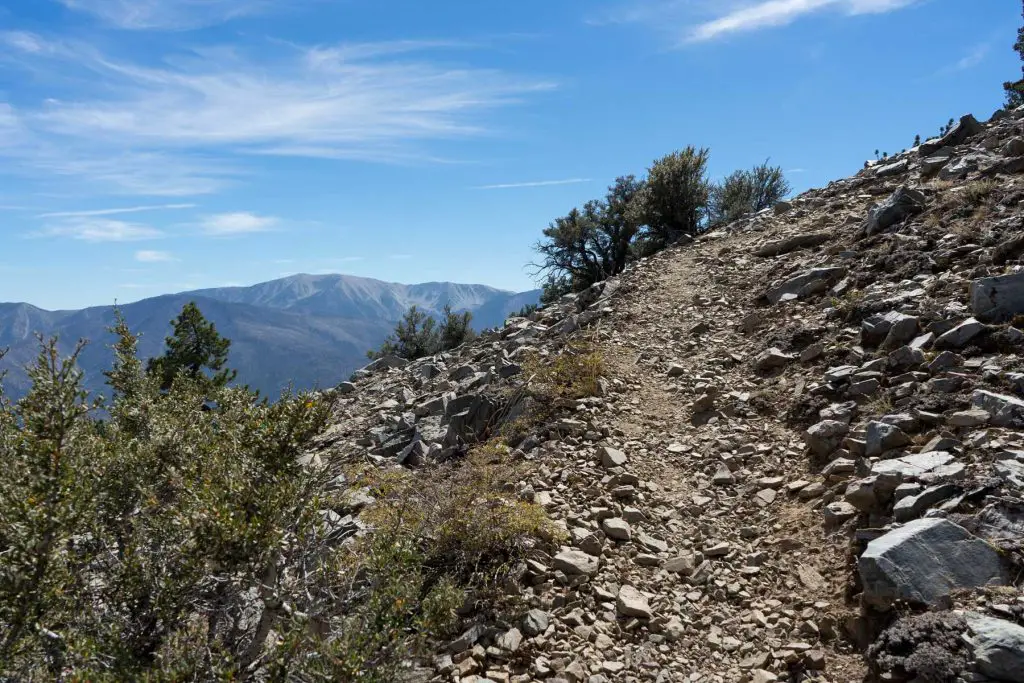
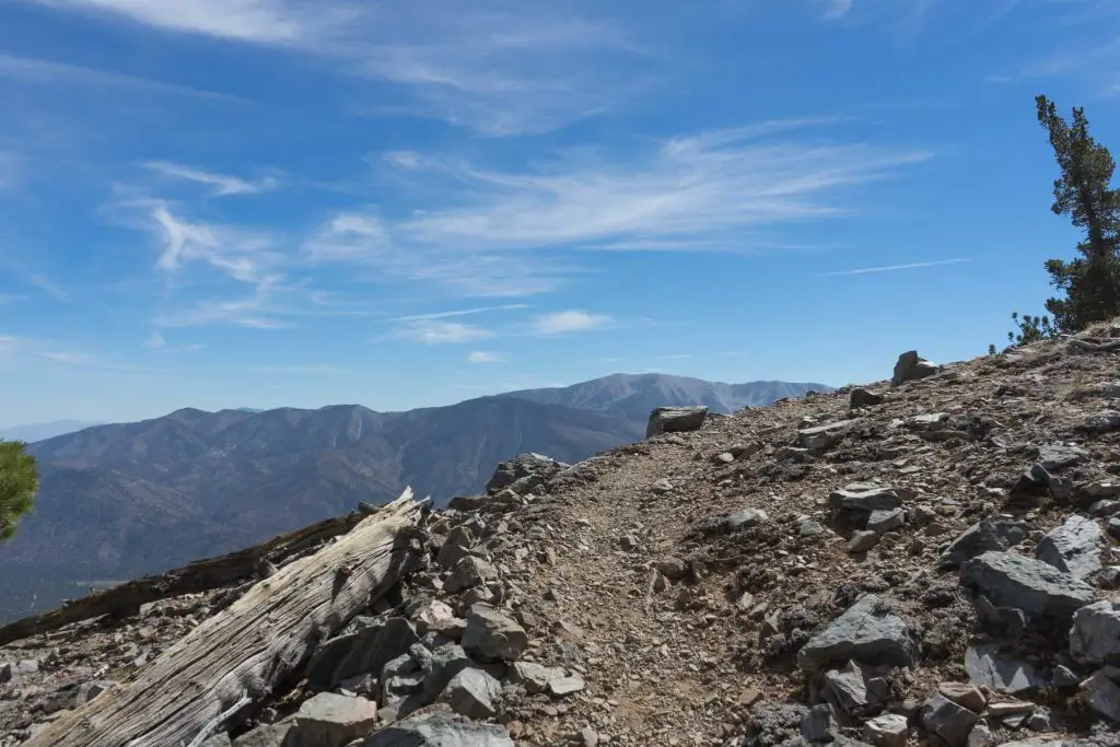
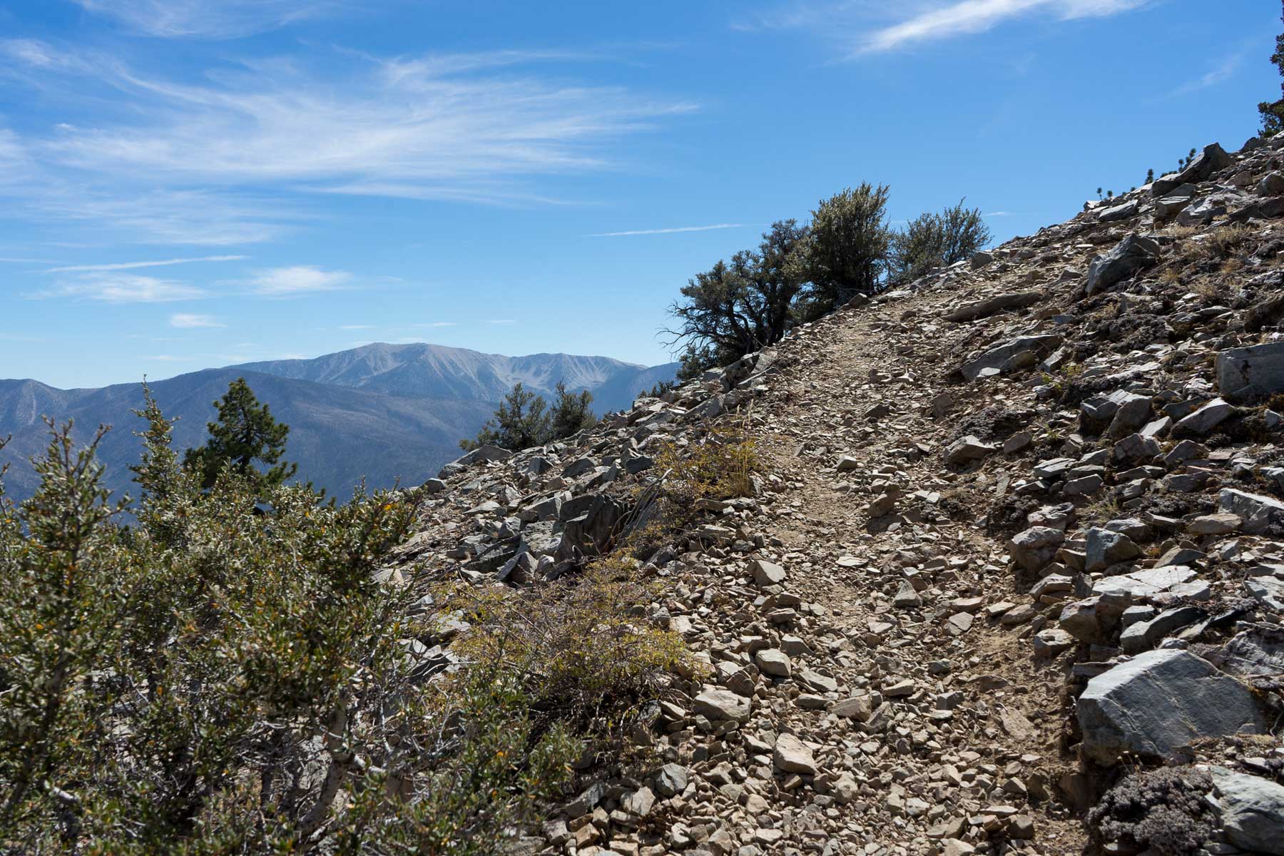
After about two miles, the trail transitions from the broader dirt road to a narrower path. Here, the grade begins to climb more sharply as you approach Sugarloaf Mountain. This portion of the hike can be challenging, with uneven footing, exposed roots, and occasional switchbacks. Elevation steadily increases, and the thinner air becomes noticeable for many hikers. Take breaks as needed and stay aware of the signs of altitude sickness.
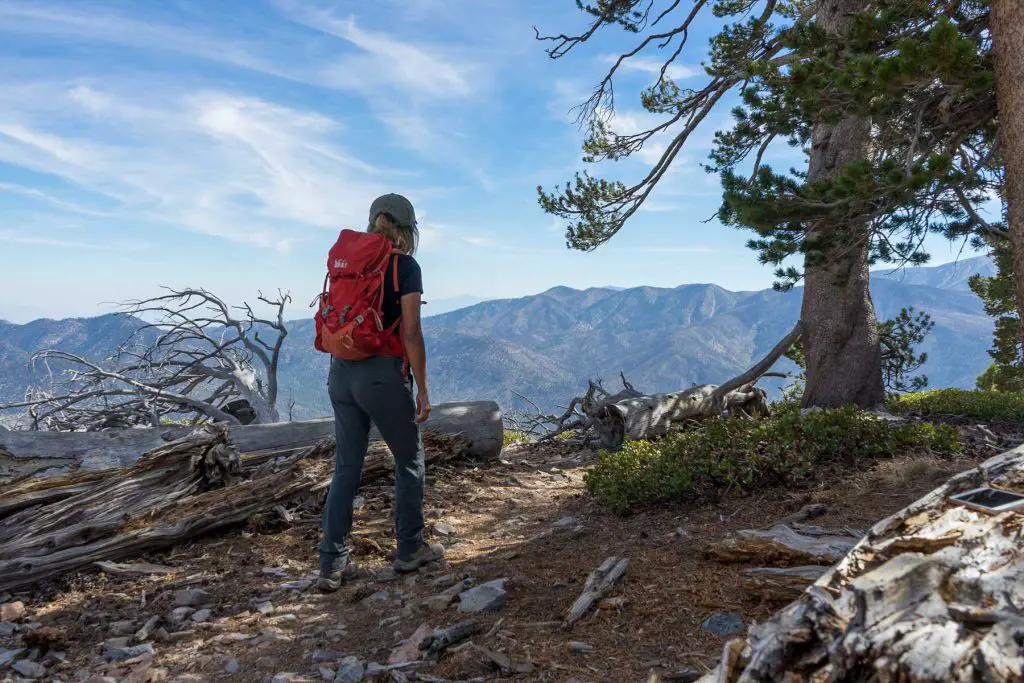
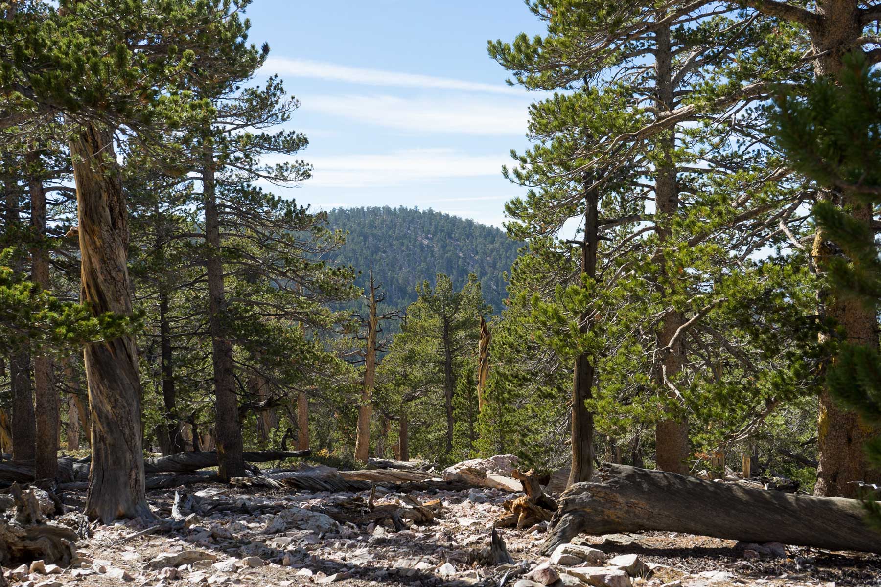
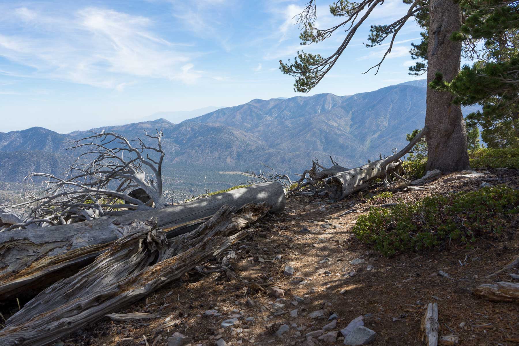
Over the next few miles, you’ll traverse typical montane forest terrain, featuring ponderosa pines, jeffrey pines, and the understory of mountain shrubs. Wildlife such as deer or smaller mammals may occasionally be spotted, and birdlife is plentiful, though you’ll want to keep your eyes open if you hope to see them. During warmer months, wildflowers can add bursts of color along the trail’s edges.
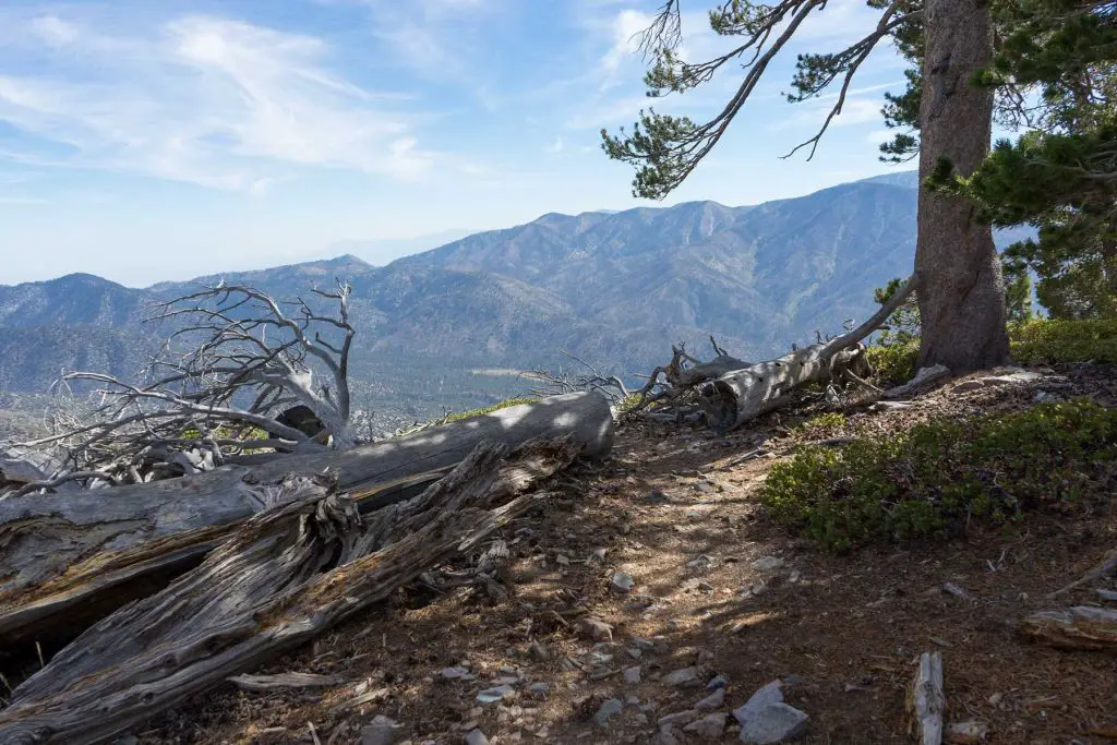
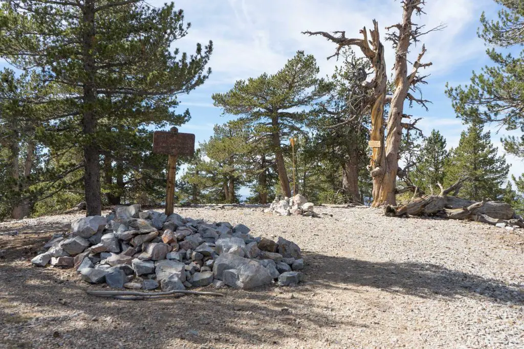
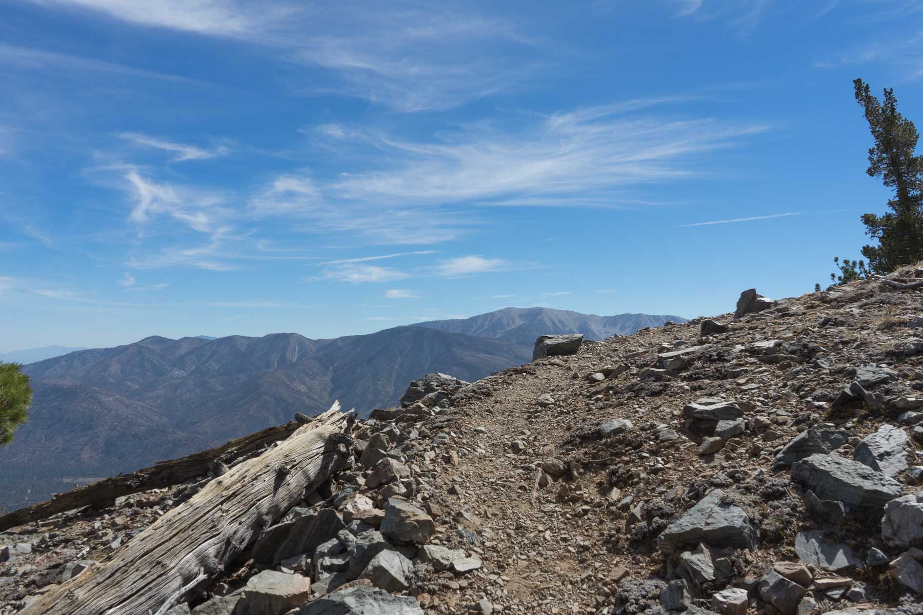
Approaching the summit, the trail steepens before leveling out at around 9,952 feet. Despite reaching the highest point in the Big Bear Valley, the actual panorama may be limited due to the forest canopy near the summit. Even so, the sense of accomplishment is notable after a 10-mile journey and nearly 3,000 feet of elevation change. Once you’ve taken a breather and enjoyed the alpine setting, retrace your route back down the trail to the turnout where you parked.
Camping
Big Bear and the broader San Bernardino National Forest area offer several camping options for those who wish to stay overnight. Heart Bar Family Campground is located about 13 miles south on Route 38 (Rim of the World Scenic Highway).
Dispersed camping may also be permitted in certain parts of the national forest, though regulations vary. For the most up-to-date information, check with the Mountain Top Ranger District or the Big Bear Discovery Center at 1-909-382-2790.
About National Recreation Trail
National Recreation Trails (NRTs) are part of a nationwide network of trails recognized for their outstanding value in connecting people with nature and recreation. They can be found in various settings, ranging from city parks to remote wilderness areas, and are designed to offer diverse recreational opportunities—such as hiking, biking, horseback riding, or paddling—while also helping to foster public appreciation for the country’s natural and cultural heritage. By earning the National Recreation Trail designation, these routes receive support and promotion through various federal and state agencies, which encourages responsible trail use, preservation, and community involvement.

