El Prieto Trail to Brown Mountain Loop Guide
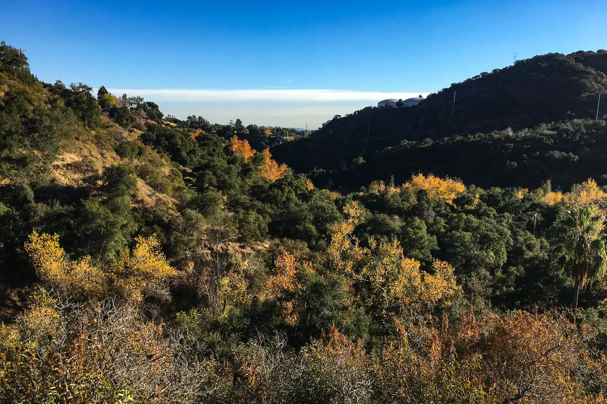
Nestled at the base of the San Gabriel Mountains just north of Pasadena, the foothill community of Altadena boasts several stellar trails that allow direct access to the Angeles National Forest without the hassle of a lengthy mountain car ride.
Among these, El Prieto Trail, a strenuous 8.3 mile trek, is easily one of the most rewarding for hikers and mountain bikers. Beginning at the Hahamongna watershed on the western edge of Altadena, the trail follows the Arroyo Seco up into the front range of the San Gabriel Mountains, gaining over 1,200 feet in elevation before depositing hikers atop a vista point offering panoramic views of Pasadena and beyond.
Trail Details
| Trail Type | Loop |
| Difficulty | Moderate |
| Length | 8.3 miles |
| Elevation Gain/Loss | 200 feet/-200 feet |
| Trailhead Coordinates | 34.1933456, -118.1686449 |
| Location | San Gabriel Mountains, Angeles National Forest |
| Best Season | May – October |
| Topographic Map | Download |
Getting to El Prieto Trail
From Los Angeles, take the 210 East toward Altadena and exit at Arroyo Blvd./Windsor Ave. Turn right onto Windsor Ave. and continue straight for approximately 1 mile. Park in the small lot on the left just before Ventura St. and begin your hike by heading north on the paved Gabrielino Trail, which will lead you to El Prieto in about 1.25 miles.
The Trail
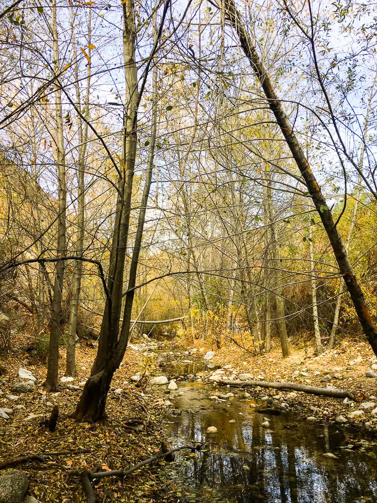
Although El Prieto Trail may begin in a residential area, it’s a far cry from the well-worn urban hikes that many Angelenos are familiar with. As hikers wind their way through dense stands of oak and alder, crossing creeks and scrambling up steep inclines, El Prieto quickly leaves the city behind in favor of a true wilderness experience.
This half-day hike can be strenuous at times and feels every bit of its 8 miles, but the chance to experience the natural beauty and wide biodiversity of Los Angeles’ own backyard is well worth the price of admission.
El Prieto Trail is part of a vast network of trails that criss-cross their way through the San Gabriel Mountains. With a little effort, adventurous thru-hikers could easily piece together a route from Pasadena’s famed Rose Bowl all the way to the Pacific Crest Trail.
However, this 8-mile loop offers day trippers the chance to experience the best of the Angeles National Forest and still make it back down the mountain in time for lunch.
The journey begins in unassuming fashion in a narrow parking lot on the edge of a quiet suburban neighborhood – the heavy presence of bike racks and camper shells is a sure-fire sign you’re in the right place.
It’s also the first indication that this trail is heavily trafficked by mountain bikers – be sure to listen for fast-approaching bikes traveling at break-neck speeds down the often narrow pathway.
Once you’ve parked and grabbed your hat – the sun can be quite intense along the exposed mountain ridges – head kitty-corner across Ventura St. to find the Gabrielino trailhead, marked by a yellow barrier gate.
Follow the paved Gabrielino Trail for 1.25 miles, passing the NASA Jet Propulsion Laboratory (JPL) along the way.
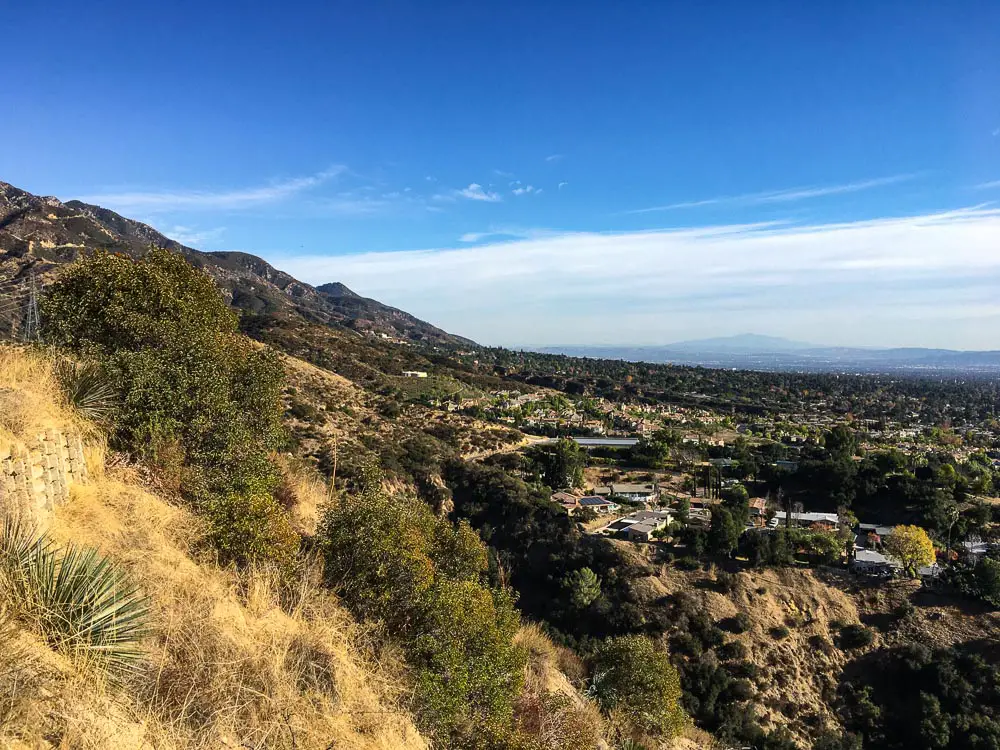
After you pass JPL, the scenery changes dramatically as you enter the forest and the trail sidles up alongside the Arroyo Seco creek.
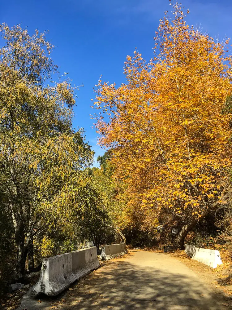
Twisty sycamores, towering oaks and silver-barked alders all provide ample shade along this portion of the hike – the golden leaves of the sycamore are an especially pretty sight from November-January.
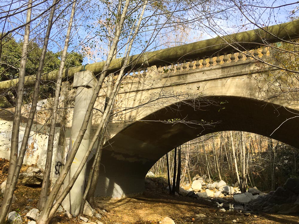
Crumbling cobblestone walls and small arched bridges give an idea of the rich human history in the area, while the lush canopy of trees provides an ideal home for birds and other wildlife.
Scrub jays and acorn woodpeckers can be seen flying from limb to limb overhead; down on the forest floor, white-crowned sparrows and spotted towhees forage for seeds and insects.
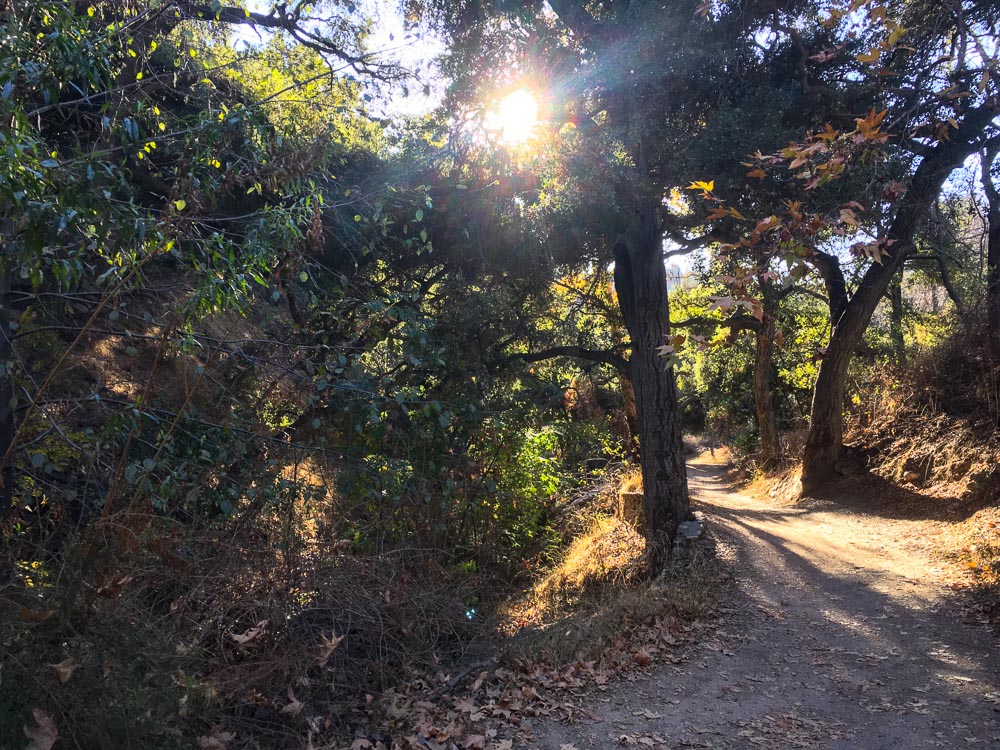
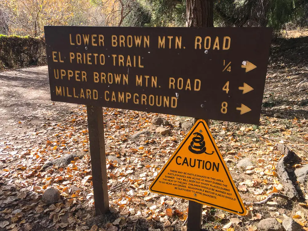
Head right when you see the sign for El Prieto/Brown Mountain and follow this trail for about a quarter-mile before once again veering right to stay on El Prieto.
Here, you’ll begin your ascent up into the San Gabriel Mountains, passing through beautiful oak groves and creek-carved ravines along the way.
You’ll want to be especially alert for mountain bikes on this stretch – the single-track trail offers little space to get out of the way.
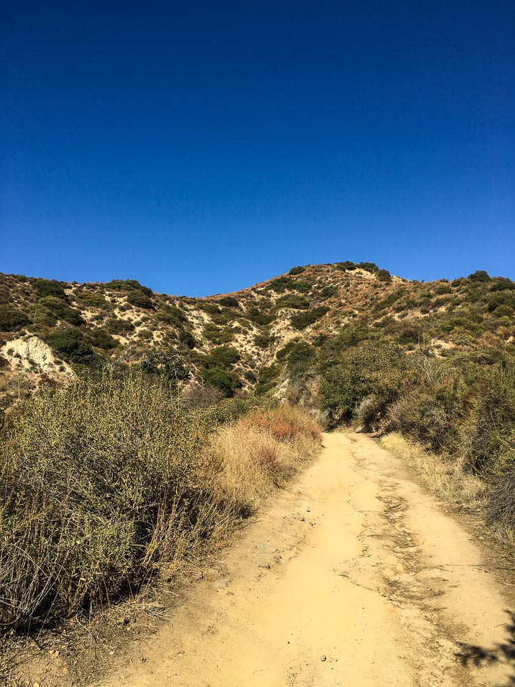
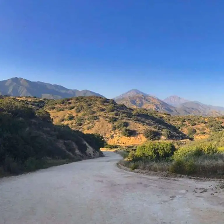
As the thick oak forest gradually gives way to open chaparral, you get a sense of the vast backcountry that lies beyond – and your first glimpse of the considerable climb still to come.
After traveling El Prieto for roughly 2 miles, you’ll reach the Brown Mountain Fire Road. Turn left here and continue your uphill trek for about a mile along this exposed portion of the loop.
Once you reach the saddle, take a minute or two to enjoy the sweeping vistas of Altadena, La Cañada Flintridge and Old Town Pasadena.
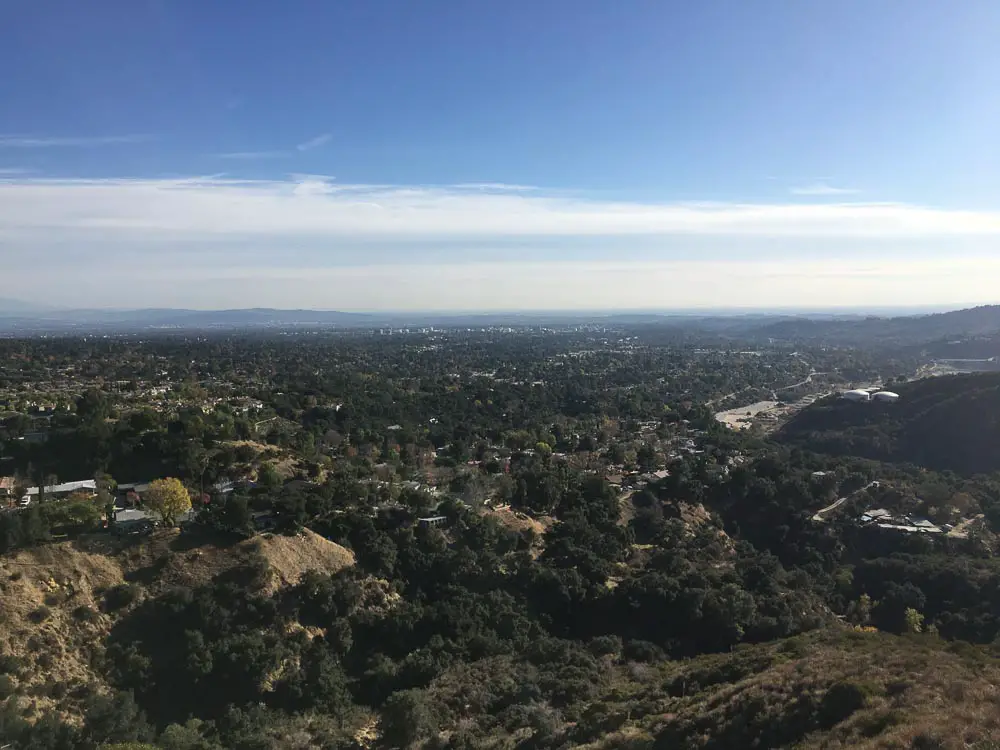
On clear winter days, the view extends to downtown LA, the Pacific Ocean and even Catalina Island. After you’ve taken some pictures and a few sips of water, give yourself a pat on the back – it’s officially all downhill from here.
Stay left to head down Fern Truck Trail – the fairly steep descent is a welcome change of pace after several miles of uphill travel; however, you’ll be happy you brought a hat when the afternoon sun beats down on the shadeless path.
Follow Fern Truck Trail for 2.5 miles – the commanding views of the LA basin slowly becoming obscured by trees once again – until you find yourself back at the El Prieto junction. Veer right to reconnect with the Gabrielino Trail and head back to your car.
To find other trails near El Prieto Trail, check out our Pasadena Hiking Guide.

