McCain Valley Guide: San Diego Backcountry Area
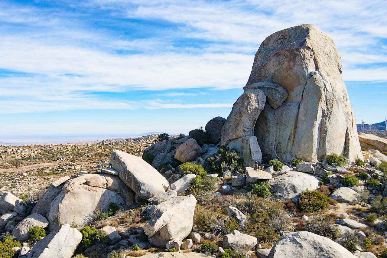
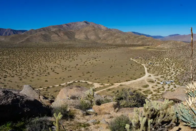
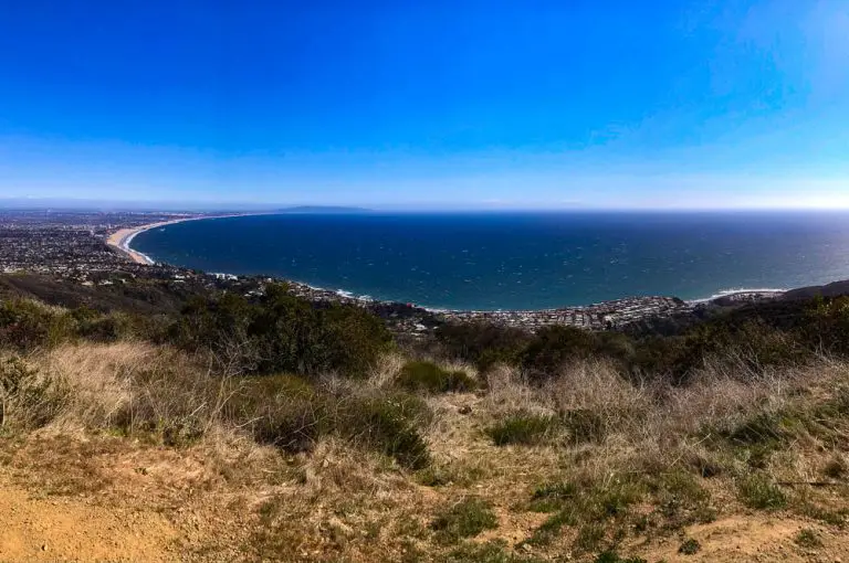
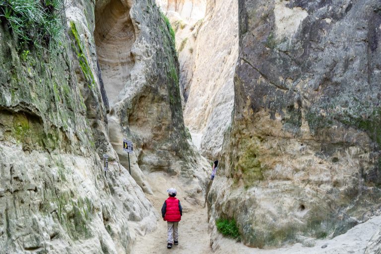
McCain Valley Resource Conservation Area is a wilderness area in the In-Ko-Pah mountains about 70 miles east of San Diego that offers stunning views, off-road recreation, camping, rock climbing, and hiking.
Destination Details
- Season: Year round, but hot in summer
- Location: McCain Valley Resource Conservation Area
- General GPS Coordinates: 32.754033,-116.272079
- Management: U.S. Bureau of Land Management
- Directions: From Interstate 8, take the Boulevard exit. Proceed south to the first stop sign. Turn left/east on Old Highway 80. After approximately 2 miles, turn left on McCain Valley Road.
McCain Valley History
Prior to European colonization, the area was a seasonal settlement for Native American peoples for thousands of years and evidence of their lives can still be found. The area is part of the Peninsular Ranges of Southern California, a chaparral ecosystem dotted with large granite boulders and islands of oak groves and palm oases.
In recent times, the area has been the site of significant wind power development and giant windmills now dot the landscape. While this has limited the amount of accessible terrain in the area, there are still plenty of adventures to be had.
This to do in McCain Valley
Highlights of the area, which encompasses around 38,700 acres, include the Lark Canyon Off-Highway Vehicle area, overlooks with sweeping views of the mountains and desert to the east, and Lowenbrau Pinnacle, a dramatic rock formation that offers hiking and rock climbing.
The area also features two primitive camping areas, Lark Canyon Campground adjacent to the OHV area and Cottonwood Campground in a more remote area further north. The area is managed by the U.S. Bureau of Land Management.
Overlooks
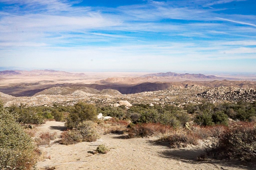
McCain Valley offers two official overlooks that provide dramatic views to the east. As you enter the area, Sacatone Overlook is the first overlook, accessed via Sacatone Spring Road, which branches east from McCain Valley Road, about 2.8 miles from the Old Highway 80 (GPS: 32.701315, -116.258652).

From the overlook, you can see parts of Carrizo Gorge and remnants of the abandoned San Diego to Arizona Railroad, including several old train cars that have tumbled off the track. There is an old mine near the overlook, The School Mine. Don’t go into the mine, as it is quite dangerous.
The other viewpoint, Carrizon Overlook, overlooks Carrizo Canyon, another section of the In-Koh-Pah Mountains, and Anza-Borrego Desert State Park further to the east. The entrance to the short road to the overlook is located off McCain Valley Road, 5.8 miles north (GPS: 32.771257, -116.283728) of the Sacatone Spring Road entrance.
Campgrounds
McCain Valley offers two first-come, first-served campgrounds, both managed by the Bureau of Land Management. Both campgrounds offer shared vault toilets.
Lark Canyon Campground
Lark Canyon Campground is located on McCain Valley Road, about 5 miles north of Old Highway 80, next to the staging grounds for Lark Canyon OHV (GPS: 32.726773, -116.272450). It is primarily used by off-roading enthusiasts who use the OHV trails. The campground offers campsites with fire rings, picnic tables, and non-potable water.
Cottonwood Campground

Cottonwood Campground is located off McCain Valley Road, 12.8 miles north of Old Highway 80. The campground offers 25 developed campsites nestled among oak trees that have fire rings and picnic tables. The campground was once inhabited by Native Americans, evidenced by the grinding divots (morteros) found on some of the bedrock in the area.
The campground connects to Pepperwood Trail and Sombrero Peak Trail, moderate to strenuous hiking and equestrian trails that lead to the Sombrero Peak Area, Upper Bow Willow Canyon, and Anza-Borrego Desert State Park. Camping with horses is allowed only in the east loop of Cottonwood Campground.
McCain Valley Trails
There are a number of hiking and equestrian trails in the McCain Valley area. Here we’ll highlight several of the most established.
Sombrero Peak Trail
Sombrero Peak is a mountain in the southern portion of Anza-Borrego Desert State Park that can be approached from the west from McCain Valley. The trainhead begins at Cottonwood Campground and heads east for about 5 miles to the mountain. The peak is located at GPS coordinates: 32.832489, -116.291459. The trail signs on this hike are in disrepair, so it’s important to bring a map and maybe a GPS navigation unit for way finding.
Lowenbrau Pinnacle Trail
Lowenbrau Pinnacle (GPS: 32.752190, -116.280070) is a dramatic rock formation in McCain Valley that is a destination for hikers, off-roaders, and rock climbers. The trailhead for the crag is just down a dirt road that branches off from McCain Road 7.6 miles from Old Highway 80 (Trailhead GPS: 32.756220, -116.279024). The hiking trail to the peak is 0.4 miles long.
Pepperwood Trail
Pepperwood Trail begins at Campsite 11 in Cottonwood Campground and ends in Anza Borrego Desert State Park 14 miles to the east. The trail descends into Pepperwood Canyon and passes through Canebrake Valley and the Inner Pasture, which merge to form an alluvial fan in the Tierra Blanca and Sawtooth mountains. Eventually, the hike emerging on Highway S2 about 3 miles southeast of Agua Caliente Springs.
This remote desert hike is typically traversed as a downhill thru-hike by placing a shuttle vehicle at the Anza-Borrego trailhead the hike, then driving to the Cottonwood Trailhead to begin the hike.
McCain Valley Rock Climbing
McCain Valley offers a number of climbing spots. These include several bouldering areas, including boulders near Lark Campground and Cottonwood campground. The largest and tallest climbs are found on the stone towers of Lowenbrau Pinnacle, which have ten sport, trad, and aid routes for rock climbers, range from 5.7+ to 5.11 in difficulty. See the trail info above on how to approach the peak.
Lark Canyon Off-Highway Vehicle Area

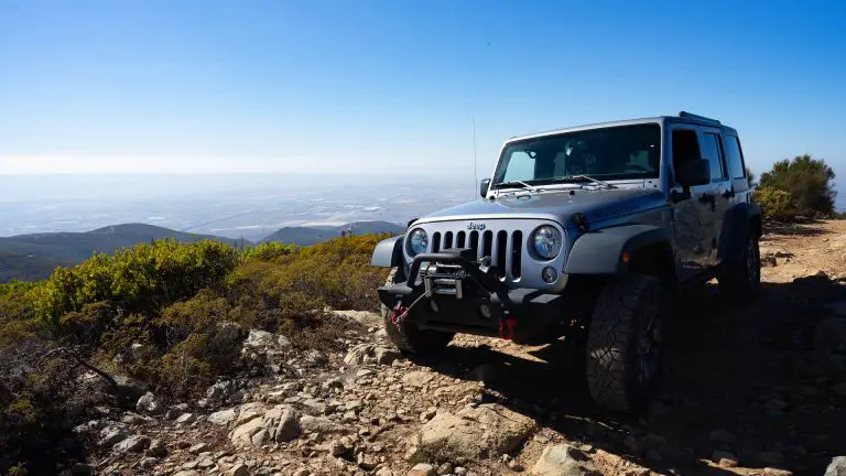
The Lark Canyon OHV Staging Area (GPS: 32.723542, -116.270066) provides a base for exploring the off-road trails on motorcycles and ATVs.
The trails were originally designed for motorcycles and are generally narrow. ATVs must be no wider than 40 inches to use the trails. Lark Canyon Campground is adjacent to the staging area and off-highway vehicles are allowed in the sites closed to the staging area. For more details, visit our guide to Lark Canyon OHV area.

