Bayside Trail – Cabrillo National Monument

The Bayside Trail at Cabrillo National Monument is a 2.5-mile, easy out-and-back hike with sweeping views of San Diego Bay and the Pacific Ocean.
Located near the Old Point Loma Lighthouse, the trail offers a mix of history, coastal habitat, and interpretive exhibits. Hikers can enjoy unique native plants, glimpses of local wildlife, and landmarks from the region’s military past. This well-maintained trail is perfect for casual hikers and history buffs alike.
Trail Details
| Trail type | Out-and-back |
| Difficulty | Easy |
| Length | 2.5 miles |
| Time | 1-2 hours |
| Elevation gain and loss | +340 feet, -340 feet |
| Trailhead Coordinates | 32.669381, -117.241063 |
| Location | Cabrillo National Monument, northeast of the Old Point Loma Lighthouse |
| Season | Year-round |
| Information Number | 619 523-4285 |
Getting to the Bayside Trailhead
The Bayside Trail begins near the Old Point Loma Lighthouse at Cabrillo National Monument. From downtown San Diego, take Harbor Drive south to Cabrillo Memorial Drive. Continue for approximately 5 miles through Naval Base Point Loma until you reach the entrance to the monument. Pay the park entrance fee and follow signs for the main parking lot located near the visitor center.
Visitors from further north can take Interstate 5 to the Rosecrans Street exit, then continue southwest on Rosecrans, which transitions into Cabrillo Memorial Drive. There is ample parking available near the visitor center, though it can fill quickly on weekends and holidays.
The Trail
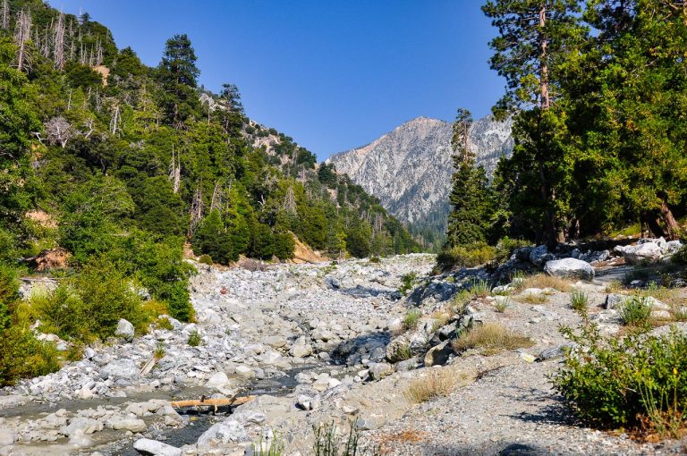
The Bayside Trail begins just beyond the Old Point Loma Lighthouse and immediately rewards hikers with panoramic views of San Diego Bay and the Pacific Ocean. The trail follows an old military road, initially paved with asphalt, before transitioning to a dirt and gravel path as it descends toward the bay.

Benches and stopping points along the way allow hikers to rest and take in views of Coronado Island, Naval Air Station North Island, and the Coronado Bridge. On clear days, the distant Laguna Mountains and even the peaks of Mexico are visible. Interpretive signs provide insights into the unique Coastal Sage Scrub ecosystem, the region’s rich biodiversity, and its significant role in military history.

One of the trail’s highlights is a historic searchlight shelter and power station, remnants of the area’s use during both World War I and World War II. The shelter once housed massive searchlights used to illuminate the entrance to San Diego Harbor.
Along the trail, hikers can also spot native plants such as black sage, buckwheat, and prickly pear, along with migratory birds that frequent this stopover on the Pacific Flyway.
The trail ends at an overlook above Ballast Point, where Cabrillo’s ships first anchored in 1542. This area remains a hub of naval activity, with nuclear submarines now docked where Cabrillo once landed. From this vantage point, hikers can appreciate both the historical and modern significance of the area.
The return trip retraces the same route, with the uphill climb providing an opportunity to revisit the trail’s scenic and historical points of interest.