Otay Mountain Truck Trail Guide
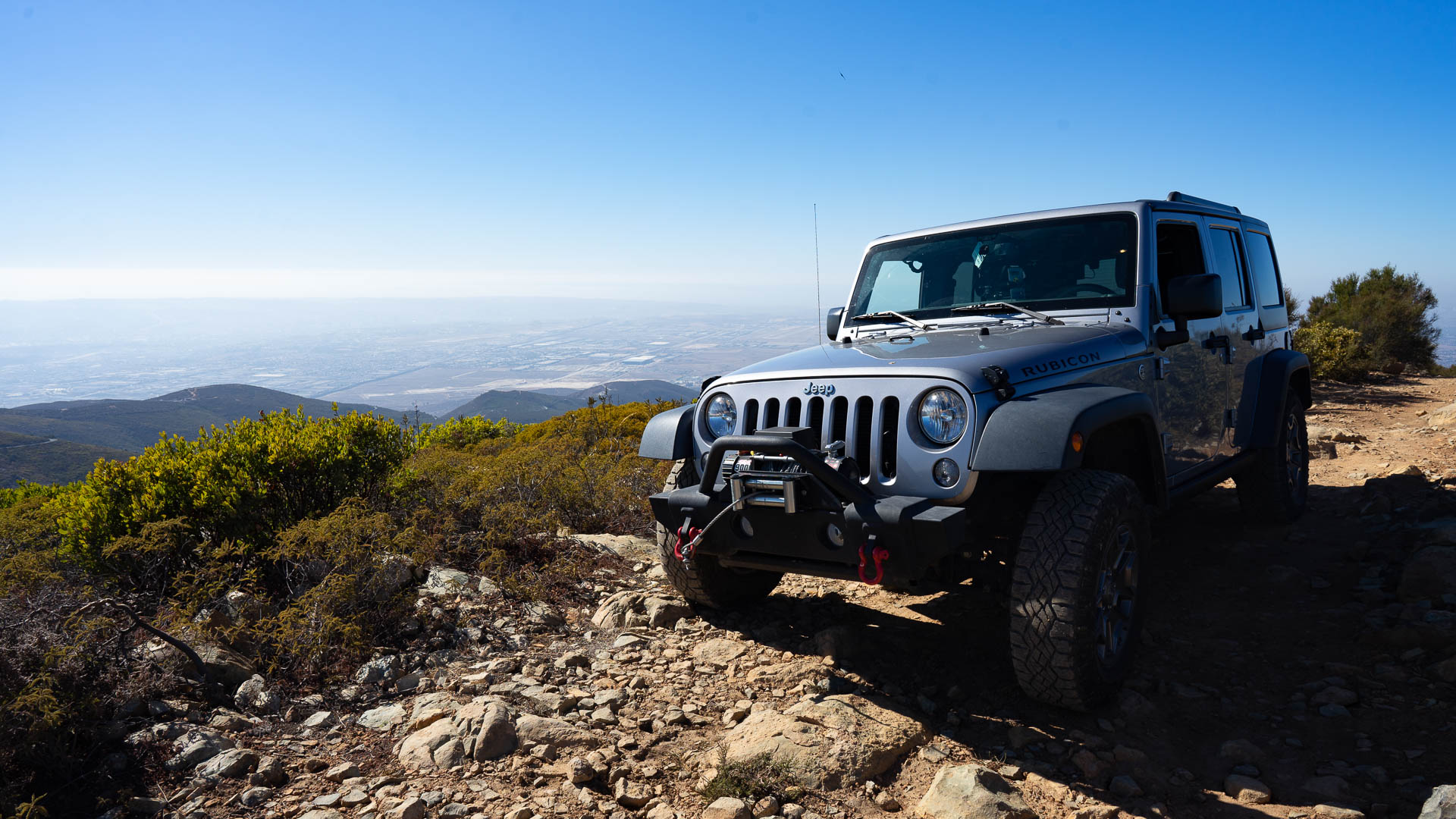
Otay Mountain Truck Trail is an off-road adventure route in the Otay Mountain Wilderness, a nearly 17,000-acre expanse of rugged terrain in the San Ysidro Mountains of southernmost San Diego County.
The trail offers opportunities for hiking, mountain biking, and off-road vehicle recreation, but is particularly popular among the off-roading community. If you aren’t ready to tackle this route on your own or don’t have a vehicle to use, San Diego 4×4 offers guided tours of the trail.
Trail Details
- Trail type: Network
- Difficulty: Varies
- Length: Varies
- Elevation gain and loss: Varies, but 2,700-foot gain from Pio Pico to Dog House Junction
- Trailhead Coordinates (Pio Pico): 32.652452, -116.8548721
- Location: Otay Mountain Wilderness
- Season: Year round, but best October – May
Otay Mountain Truck Trail Video Guide
Getting to Otay Mountain Truck Trail
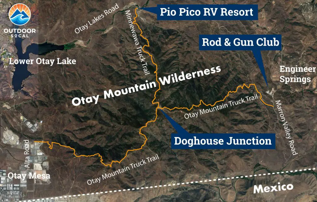
The area has three primary entrance points. The northernmost entrance is next to Pio Pico RV Resort and Campground, 2.7 miles northeast of Lower Otay Lake, off Otay Lakes Road (Trailhead GPS: 32.6524628832469, -116.85496447822487).
While the section from this entrance to Doghouse Junction (see map below) is often referred to as part of Otay Mountain Truck Trail for shorthand, it’s actually named Minnewawa Truck Trail. This entrance has a gate, which is often closed. If it’s locked, you’ll need the combination for the lock that is labeled “P.” You can get the code from the ranger station at the entrance to the campground (the kiosk, not the camp store).
The southernmost entrance is from the southwestern side of the area, off Alta Road, in an industrial park near the Otay Mesa Compose Facility, Vulcan Materials factory and a couple of jails (Trailhead GPS: 32.581950649763186, -116.91912751881245). The third entrance is from the direction of Engineer Springs to the east and starts from Marron Valley Road (Trailhead GPS: 32.60058049532975, -116.77020912657669) near the South Bay Rod and Gun Club.
You can start from any of the trailheads and exit the other. Roughly halfway between the two access points is Doghouse Junction (GPS: 32.60046449695425, -116.84194406577576), where the three portions of the trail intersect.
The information in this guide is for informational purposes only. We use Gaia GPS for mobile devices and also bring high-quality printed topographic maps while in the backcountry, and recommend you do the same.
Overview
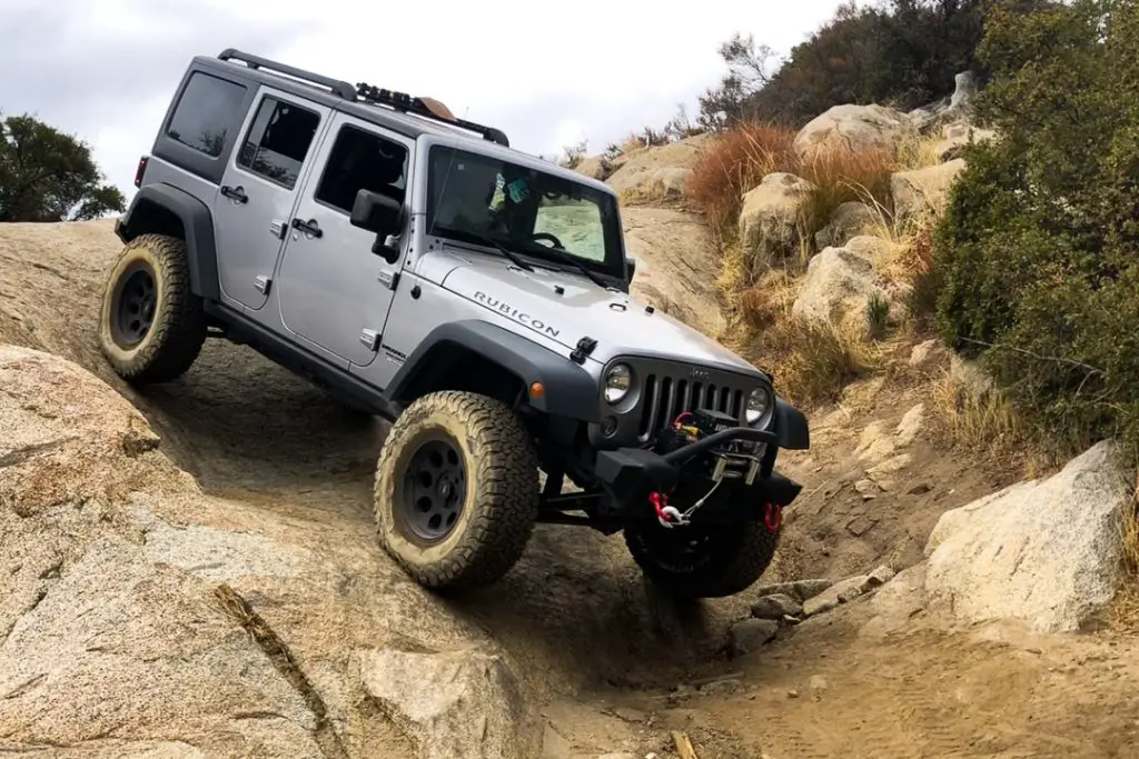
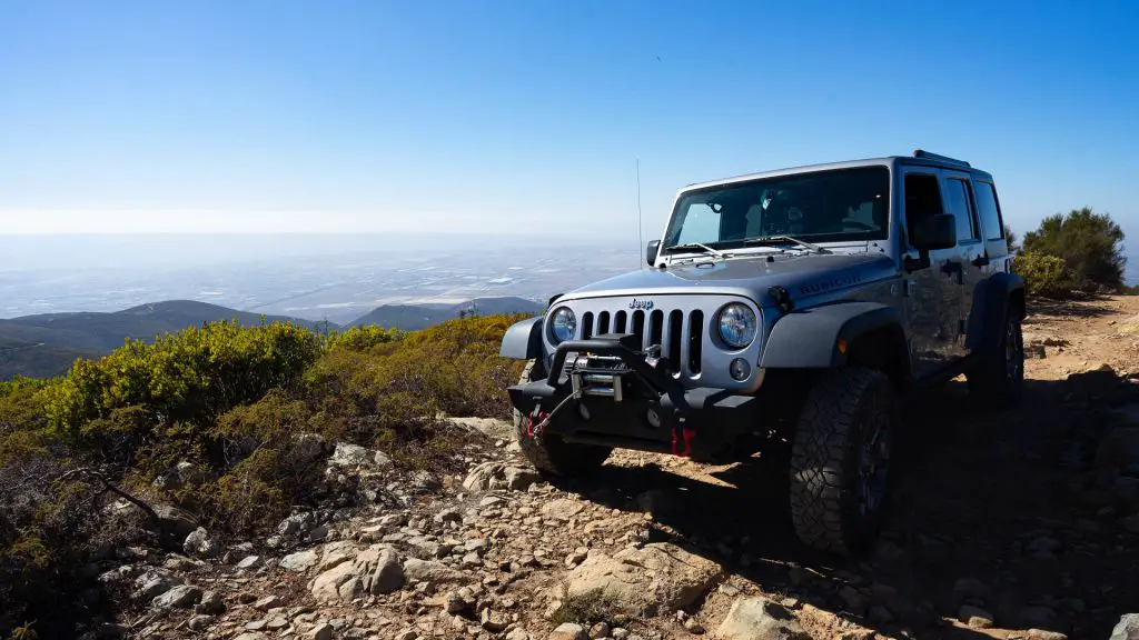
This is one of the more accessible off-road trails networks in San Diego. Any weekend, you’re likely to find Jeeps, Toyotas, and other trucks cruising exploring the area and testing their chops on some of the more technical off-shoot trails.
The truck trail is located in the Otay Mountain Wilderness which is managed by the US Bureau of Land Management. There are large portions of this area set aside as an ecological reserve, so stay on established trails to prevent damaging these important habitats and to ensure off-roading continues to be allowed in the area.
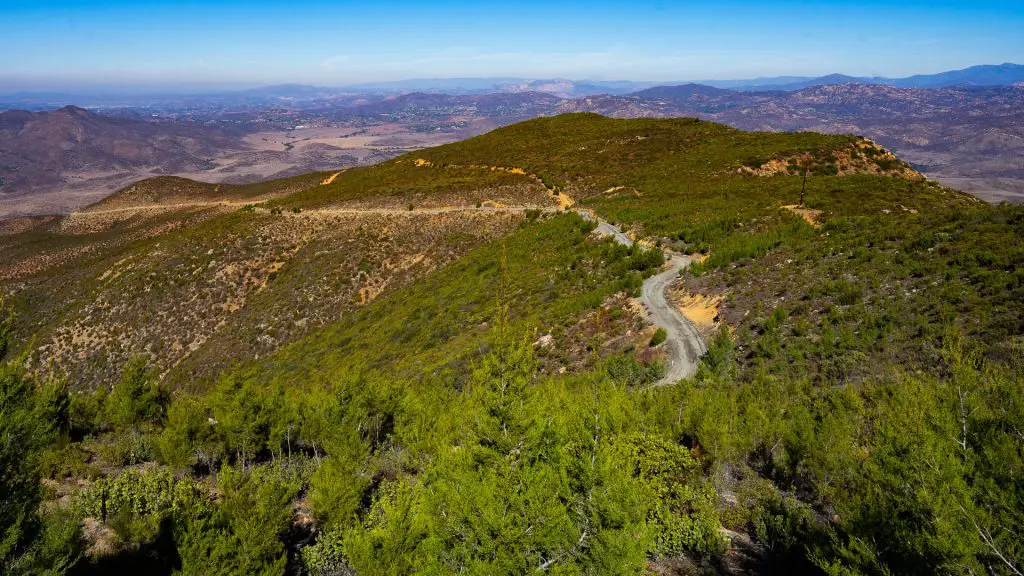
The trail is well maintained as US Border Patrol uses the route to intercept anyone attempting to cross the US-Mexico border just to the south without documentation.
Stock SUV such as Subarus or smaller Jeeps should be fine unless recent rains have damaged the trail. The trail offers a number of optional routes for the more adventurous, some of which should only be attempted by experiences drivers in high-clearance, 4-wheel-drive vehicles only.
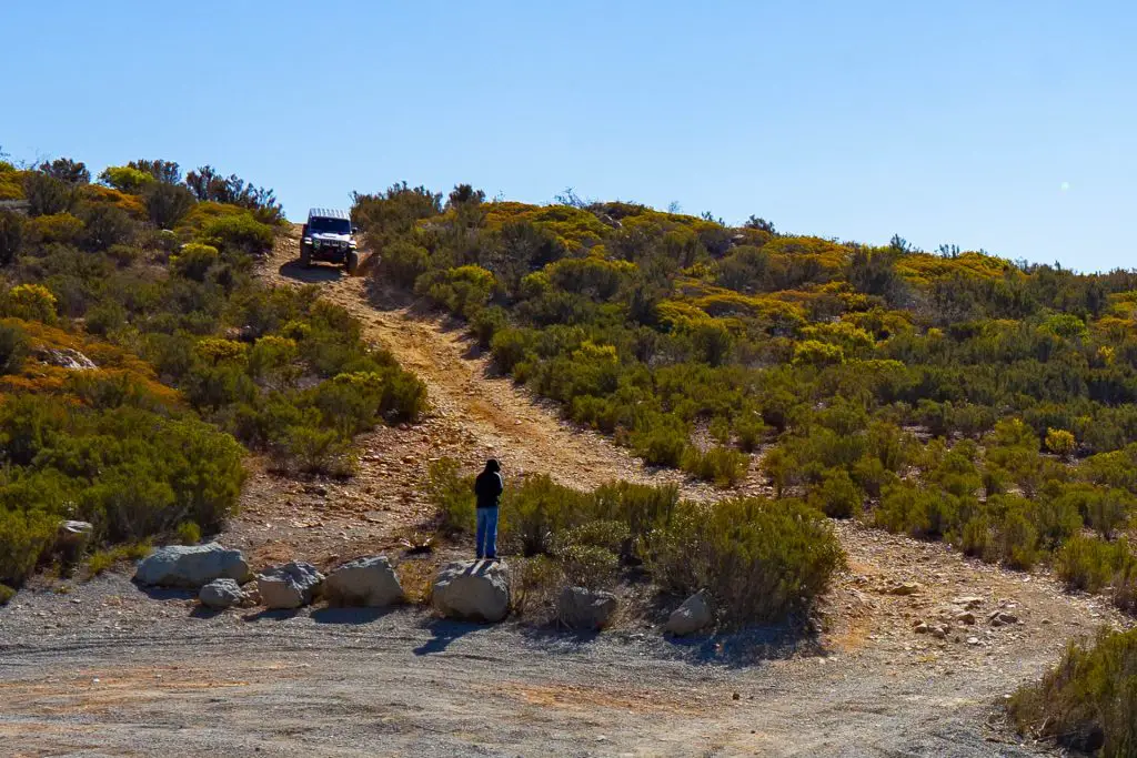
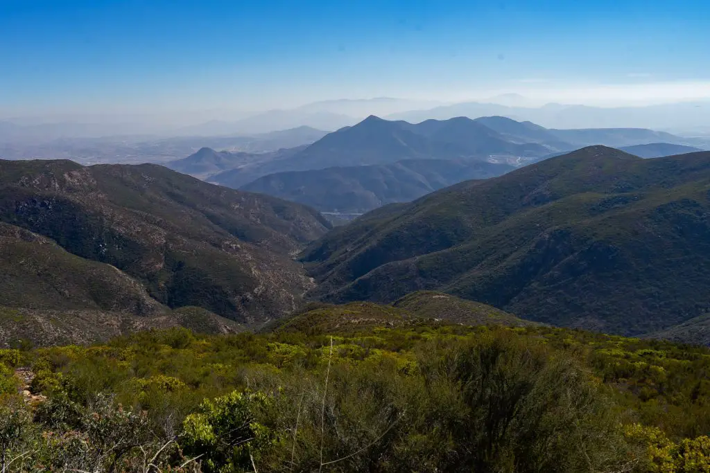
Along the main trails, you’ll find more technically challenging spurs to lookout points or simply optional offshoots used by more aggressive off-road vehicles.
Minewawa Truck Trail (from Pio Pico Campground)
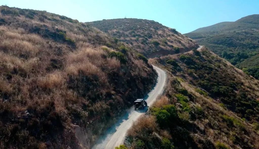
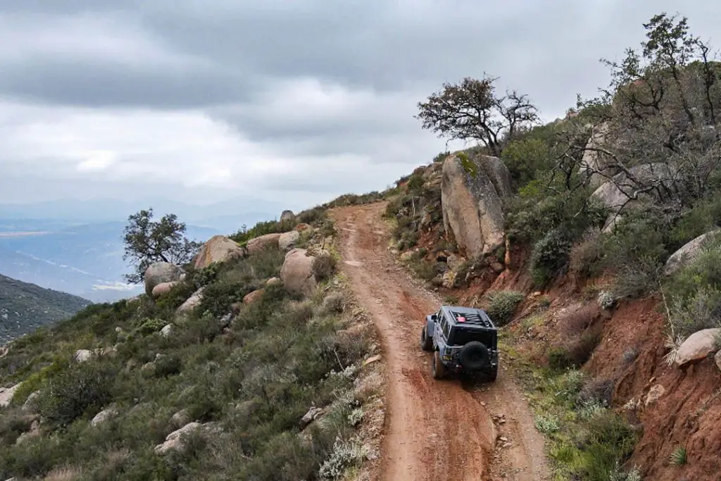
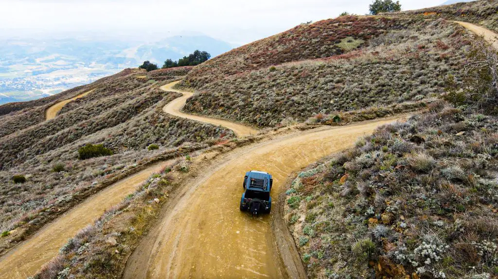
The most popular place to start and the one I typically use is the northernmost entrance next to Pio Pico RV Resort and Campground on to Minnewawa Truck Trail, mentioned above. Along the way, you’ll take in some great views and come to the first optional technical section of trail, a steep hill with an entry ledge and covered in loose rock. You’ll want a capable off-road vehicle for this one.
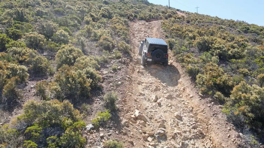
Eastern Spur and Sycamore Canyon
The eastern spur that ends near the Rod and Gun Club has some highly technical trails that are only suitable for experienced drivers in equipped rigs.
Upper Ridgeline
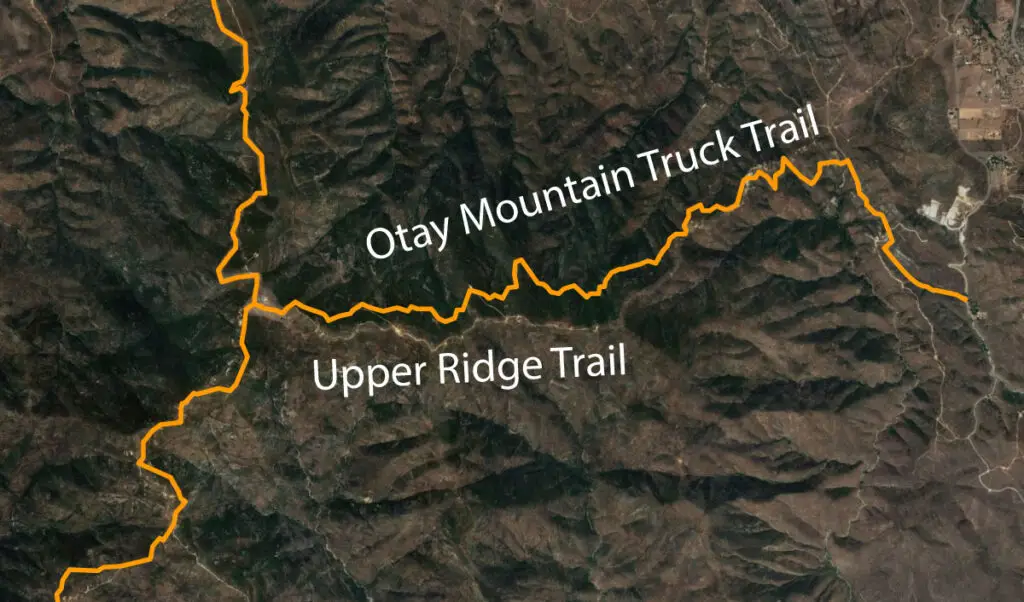
The first technical trail you’ll encounter headed on the east spur is Upper Ridge Trail, which branches off to the right soon after you leave Doghouse Junction (Trailhead coordinates: 32.59979211223913, -116.83874236079564). The trail follows a steep ridge line for a while before returning to the main truck trail.
Sycamore Canyon
Continuing east you will come to an intersection where you can either head south along the main trail, or turn north into the Sycamore Canyon area.
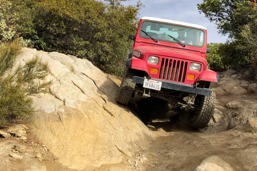
The Sycamore Canyon area is criss-crossed with dirt roads and off-road trails that are a lot of fun to explore. If you are looking for some legit off-road terrain, there is a challenging rock crawling section through one of the canyons and a burly incline known as Suicide Hill.
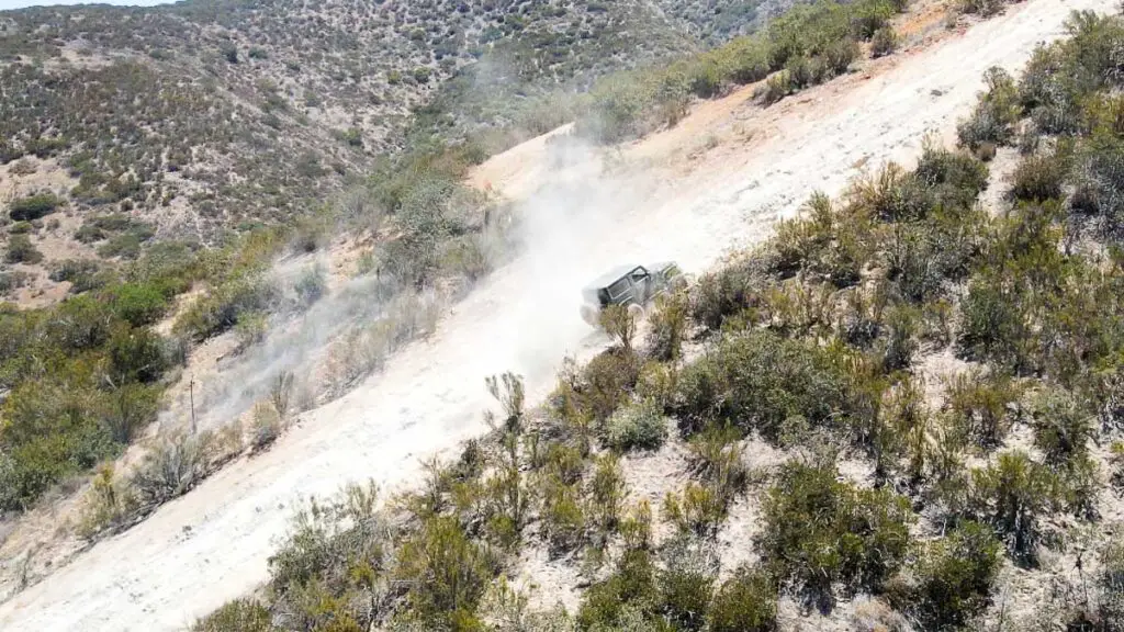
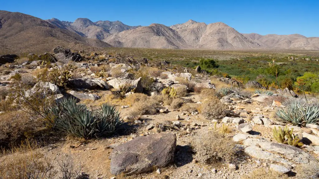
The area boasts a unique ecosystem and is home to the endangered quino checkerspot butterfly, the only known stand of Tecate cypress and population of the Mexican flannel bush. Please respect the environment and stay on designated trails.
Lower Ridge Trail
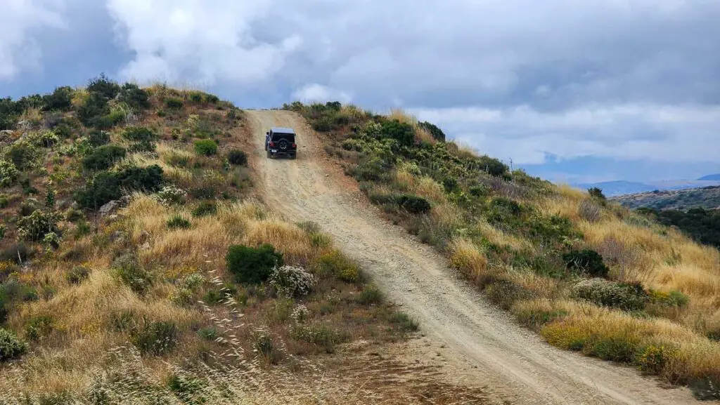
After exploring the Sycamore Canyon area, we typically go back to the main truck trail. Heading south for about half a mile brings you to a junction. Staying straight along the main trail brings you to Marron Valley Road, from which you can head north towards Dulzura to leave the trail network.
The right fork will bring you to Lower Ridge Trail, another scenic off-road route that follows a ridge line to the south. At the end of the ridge trail, you can hook back to the north on a gravel road that will merge with Marron Valley Road to leave the area.
New to Off-Roading and Overlanding?
I publish a sister site, Ordealist.com, that helps people get started in overlanding and off-roading. Here’s a good place to start.
Other Trails
If you are looking for other San Diego off-road trails, check out the guides below:

Hello! Thanks for the great article about the trails. However I am curious as to how difficult the terrain would be for a truck that isn’t exactly built for “challenging” off-roading. I currently have a 2011 Ford F350, crew cab, 8ft bed turbo diesel 4×4. It’s 22ft long, and weighs a hefty 7000lbs. I understand that it is not exactly an ideal off-road vehicle, but it most certainly is surprisingly capable, and I am a well experienced and capable driver, but I most certainly am not an expert off-roader. I’ve been wanting to do some exploring, and I am wondering if this trail would be suitable for my current vehicle. I’d rather not end up in a situation where I need to turn back, as turning around in a 22ft long truck is not exactly an easy feat even on a paved road. Thanks!
Hi Dave.You’ll be fine on this trail in the truck you mentioned. There are some more challenging sections, such as Suicide Hill and the rock crawling section near there, but they are optional. If you stay on the main truck trail, you won’t have any problems.
Yesterday I attempted to enter the trail via Alta Rd on the south western side. There was a closed gate stating border patrol owned that trail and it was illegal for anyone to drive on it. I’ve driven on this trail many times with no issues from border patrol before. I’ve even gone down and exited from the south western side on to Alta Rd with no issues as well.
Can anyone provide a reason why this entrance is closed? Is this a new development that I some how missed or maybe I came at the wrong time on the wrong day?
Don’t like the sound of that. I don’t typically use that entrance/exit but haven’t had any issues when I did.
Looks like you aren’t the only one: https://www.reddit.com/r/Sandiegooffroad/comments/rjkxd6/otay_truck_trail_closed_at_the_bottom_by_alta_road/
Yeah I’ve had to take an aggressive entrance up at Alta Rd when the gate was locked. That meant lockers on in a built Discovery 2 using an alternate route. Not okay since the locked gate blocks entrance from a public trail to a public road. Not too sure if all the side by side guys going 70 MPH down paved roads showing off on the Otay side are ruining the experience. I was taking my family out there and a Side by side passed us on the wrong side of the road just pinned. Not sure what they’re rush to go down a public road was when they just left the dirt! Goof balls! These people often have no off road experience and buy a 60k long travel rig and think they are Ivan Stewart lol!