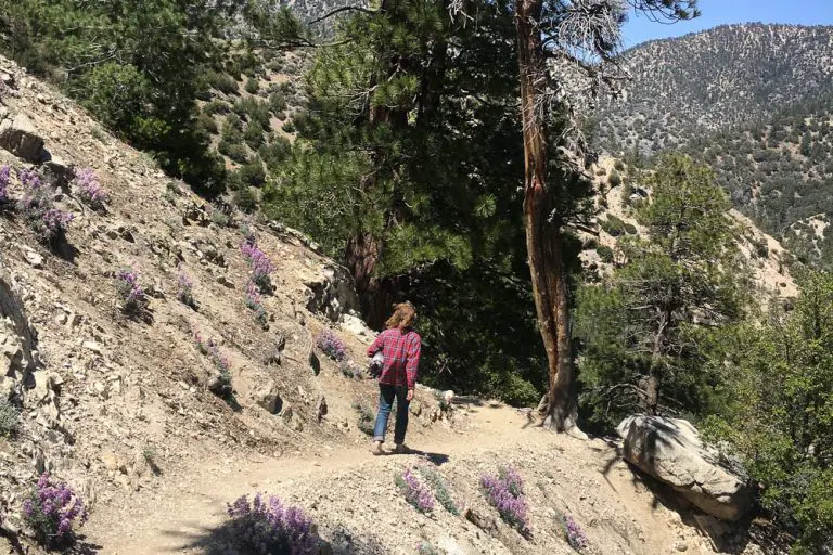
San Gorgonio Wilderness Hiking Guide
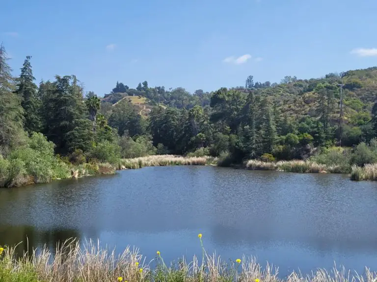
San Gorgonio Wilderness, a unique sub-alpine and mountain landscape within San to Snow National Monument is one of Southern California’s premier hiking destinations, offering 81 miles of rugged but rewarding trails.
Please note that due to the popularity of some of the trails in San Gorgonio Wilderness, a wilderness permit from the US Forest Service. Also, check with the forest service pages for each trail (the titles are linked) as some may be closed due to forest fires.
San Gorgonio Wilderness Trails
In addition to a short section of the Pacific Crest Trail, trails within the wilderness include:
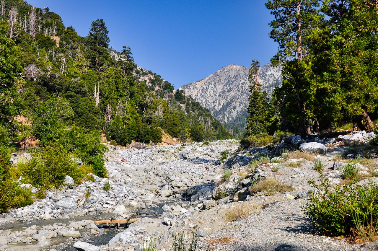
Vivian Creek Trail
The Vivian Creek Trail is an intense 19-mile out-and-back trail climbs 5,492 to the summit of Mount San Gorgonio, located in the San Gorgonio Wilderness Area. This trail is often tacked as an overnight backpacking trip.
Trailhead directions: The trailhead is reached by turning east off Highway 38 to Forest Falls. An Adventure Pass or Interagency Pass is required to park at the trailhead.
Momyer Creek Trail
Momyer Creek Trail is a 13-mile out-and-back trail that ascends 3,123 to Dobbs Cabin, or can be extended further (and higher) to Saxton Camp or Dollar Lake Saddle. The trail requires a creek crossing.
Trailhead directions: The trailhead is reached by turning east off Highway 38 to Forest Falls.
San Bernardino Peak Trail
San Bernardino Peak Trail is a strenuous 17-mile out and back hike that climbs 4,721 in elevation.
Trailhead Directions: From Angelus Oaks, turn east off Highway 38 onto Manzanita. Then turn to the immediate left onto the frontage road that parallels Highway 38. Turn right onto FS road 1W07 and stay to the right up the dirt road 300 yards to the trailhead
Forsee Creek Trail
Forsee Creek Trail is a lesser-used, 10.7-mile trek that brings hikers to San Bernardino Peak.
Trailhead Directions: Turn right (southeast) on Jenks Lake Road West off Highway 38. One-quarter mile from Highway 38 is a signed dirt road on your right. This is a rough, rocky road not intended for low-clearance vehicles.
South Fork Trail
South Fork Trail is a popular 5.94-mile hike in the San Gorgonio Wilderness that gains around 4,600 feet of elevation.
Trailhead directions: The trailhead is located on Jenks Lake Road, 2.5 miles from Highway 38. From the large paved parking area, the trail starts on the opposite side of the road across from the vault toilet. An Adventure Pass or Interagency Pass is required to park at the trailhead
Lost Creek Trail
Lost Creek Trail is a 5.1-mile trail that passed through Grinnell Ridge Camp, descends into South Fork Meadows, and eventually connects with South Fork Trail. This trail is one of the most underused and offers solitude and good views north to Santa Ana Canyon and Sugarloaf Peak.
Trailhead directions: The Lost Creek trailhead is across (north of) Highway 38 from the South Fork Campground. This trail was severely damaged in the 2015 Lake Fire and is not advisable for travel.
Aspen Grove Trail
Aspen Grove is a 5.2-mile trail that brings hikers through a small remnant grove of Quaking Aspens, which are only found in one other location in California outside of the Sierra Nevada range. This trail is particularly popular in the fall when the trees are in fall colors, and during that time requires a permit.
Trailhead directions: Enter via Coon Creek Jumpoff (1N02), follow 1N02 until it forks right to Fish Creek Rd (1N05). Follow 1N05 to the signed Aspen Grove Trail parking. These roads close in the winter after the first significant snowfall.
Fish Creek Trail
Fish Creek Trail is a 5.9-mile hike that brings you past Fish Creek Trail Camp and the wreckage of an airplane, among other interesting sites.
Trailhead directions: Enter via Coon Creek Jump-off (1N02), follow 1N02 until it forks right to Fish Creek Rd (1N05). Follow 1N05 about 7 miles to the trailhead. These roads close in the winter after the first significant snowfall.
Landscape, Climate and Wildlife
The United States Congress designated the San Gorgonio Wilderness in 1964, making it one of the first designated wilderness areas in the United States.
Named after San Gorgonio Mountain, which at 11,499 ft. is the highest peak in California south of the Sierra Nevada, the wilderness is located on the eastern slope of the San Bernardino Mountains.
The topography varies considerably and rapidly, changing from rolling foothills and canyons to steep, rugged mountains.
Because of this elevation gradient, the wilderness reflects a unique transition between desert, coastal, and mountain environments, including the different types of vegetation representative of each elevation.
The isolated environment contains many threatened and endangered plant and animal species, as well as bear, deer, mountain lions and bighorn sheep.
The wilderness is located within Sand To Snow National Monument, which was established in 2016.