Santa Rosa and San Jacinto Mountains National Monument

Santa Rosa and San Jacinto Mountains National Monument is one of Southern California’s premiere outdoor recreation destinations, offering diverse landscapes ranging from sun-scorched canyons to snow-capped peaks.
Visitors can find themselves among sprawling palm oases, lofty granite ridges, and pristine wilderness areas—all within one of Southern California’s most scenic backdrops. Outdoor adventure opportunities abound, including camping and numerous trails of varying length and difficulty. The monument is co-managed by the Bureau of Land Management (BLM) and the U.S. Forest Service.
Destination Details
| Season | – Lower Elevation Trails: Best November–April – Higher Elevation Trails: Best May–October |
| Location | Southern California, near the Coachella Valley and the alpine village of Idyllwild |
| Management | Jointly managed by the Bureau of Land Management and the U.S. Forest Service |
| Size | Encompasses about 280,000 acres |
| Nearest Major City | Palm Desert / Palm Springs |
How to Get There
The monument spans a large area and has many different ways to enter. The main visitor center is a great place to start. It is located off State Highway 74, about four miles south of Highway 74 and Highway 111 intersection in Palm Desert.
For those coming from the greater Palm Springs area, follow Highway 111 east or west until you reach the turnoff for Highway 74 (also known as the Pines to Palms Scenic Byway), then drive south to the visitor center at 51-500 Hwy 74, Palm Desert, CA 92260.
To explore higher elevations, visitors can head to the alpine community of Idyllwild via Highway 243 from Banning or via Highway 74 from Hemet. Trailheads in these higher areas typically offer cooler weather and pine forest landscapes, contrasting sharply with the desert environment below.
Destination Overview

Spanning desert basins and rugged high-country terrain, the Santa Rosa and San Jacinto Mountains National Monument protects a remarkable variety of plant and animal life.
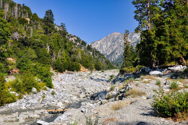
Palm oases scattered throughout lower elevations give way to cholla gardens, chaparral-covered hillsides, and eventually conifer forests in the upper reaches near Mount San Jacinto (10,834 feet). This dramatic vertical relief shapes the region’s weather patterns and creates many recreational possibilities.
There are many options for rugged adventure in Santa Rosa and San Jacinto National Monument. I won’t cover everything here, but I hope to give you a sense of what’s available. The national monument offers numerous hiking, mountain biking and equestrian trails, campgrounds and backcountry camping options, and scenic drives and off-road trails.
Three Sections
The national monument is large, and to get oriented, it’s helpful to think of it as three different areas: the San Jacinto Mountains, Northern Santa Rosa Mountains and Southern Santa Rosa Mountains.
San Jacinto Mountains

The San Jacinto Mountains rise dramatically from the desert floor in Southern California, creating a striking contrast between arid lowlands and forested high elevations. At over 10,800 feet, Mount San Jacinto is the range’s highest point, offering panoramic views of the surrounding Coachella Valley.
The area is a popular destination for hiking, camping, and winter sports, thanks in part to relatively easy access from nearby communities like Palm Springs and Idyllwild. With its rugged terrain, rich biodiversity, and cooler temperatures at higher elevations, the San Jacinto Mountains offer a refreshing alpine escape in the heart of Southern California’s desert region.
Northern Santa Rosa Mountains
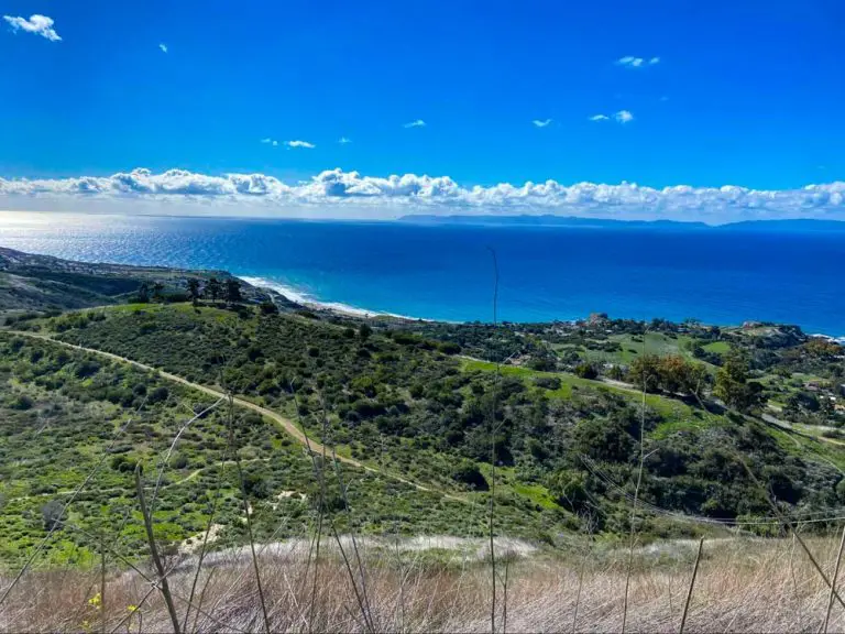
As you move south and east from the San Jacintos, you transition into the Northern Santa Rosa Mountains, a region marked by shifting terrain—from fan palm oases to desert slopes and high plateaus dotted with pinyon pine and yucca. Notably, Indian Canyons near Palm Springs feature the largest system of native fan palm oases in the United States, reflecting a move away from the alpine influence of the San Jacintos into a more desert-oriented environment.

These mountains also harbor diverse plant and animal life, including the endangered Peninsular bighorn sheep. Visitors can access the Northern Santa Rosas via the Indian Canyons or the Santa Rosa and San Jacinto Mountains National Monument Visitor Center on Highway 74.
Southern Santa Rosa Mountains
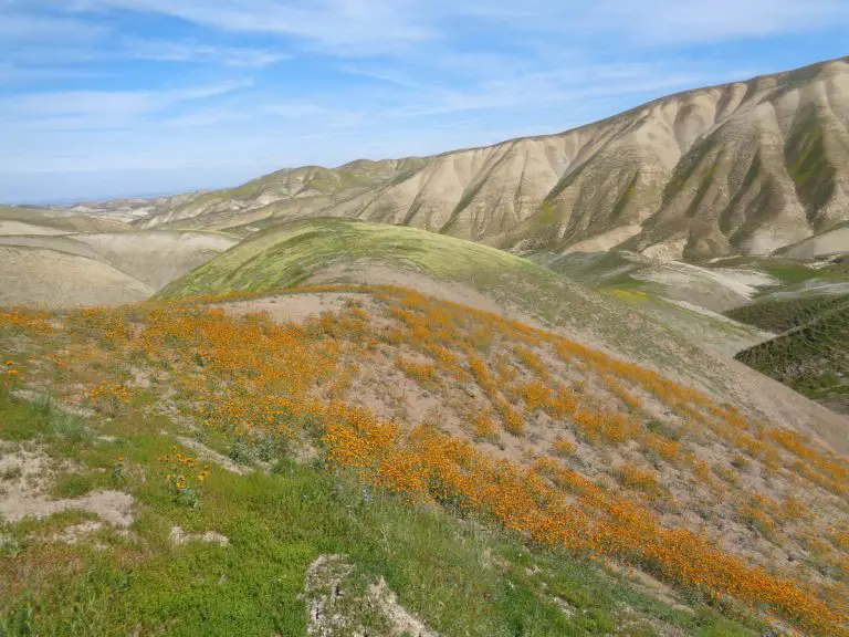
The Southern Santa Rosa Mountains stretch southeast of Highway 74, offering a remote backcountry experience that few locals ever see. Their highest peaks—Santa Rosa (8,070 feet) and Toro (8,716 feet)—may not command the skyline like Mount San Jacinto, but they beckon the keen observer with subtle landmarks and diverse vegetation.
Mid-elevation slopes hold pinyon-juniper forests, while lower sections bristle with agave and “jumping” cholla cactus. This region has a rich human history, too: Cahuilla Indians once traversed these slopes gathering pinyon nuts, acorns, yucca fibers, and wild game, leaving traces of their ancient pathways for today’s explorers to follow.
Things to Do
Where to start? The national monument is a vast playground for outdoors enthusiasts. Here are a few options:
Visitor Center

A visit to the Santa Rosa and San Jacinto Mountains National Monument Visitor Center, located off Highway 74 in Palm Desert, is a great place to get oriented. Here, you will find staff to help plan your visit and answer any questions.
The Visitor Center also offers seasonal exhibits, displays, and a gift shop for souvenirs. Outside the doors of the Visitor Center, you can enjoy a picnic by the palm trees, stroll on the wheelchair-accessible Ed Hastey Garden Trail, or stop by an outdoor wildlife exhibit and meet an adopted desert tortoise.
Wildlife Viewing

There are many great places for wildlife viewing, including the Santa Rosa and San Jacinto Mountains National Monument Visitor Center, Mount San Jacinto State Park and the Indian Canyons.
Within the Monument, there are five distinct biotic communities, offering a chance to see a variety of mammals such as Peninsular bighorn sheep, bobcat, mule deer, striped skunk, harvest mouse, western mastiff bat, and over 40 species of reptiles.
We once came across a herd (is that what they are called) of bighorn sheep near the visitors center and got to watch them scamper up and down cliff faces. Below is the video I shot:
For bird enthusiasts, white-headed woodpecker, Steller’s jay, spotted owl, pinyon jay, LeConte’s thrasher, Gambel’s quail, phainopepla, golden eagle, and greater roadrunners are but a few of the avian species that can be found within the Monument.
Trails
There are over 280 miles of designated hiking trails throughout the 280,000-acre Monument, accessible from the desert cities and along the Palms to Pines Highway. Many of the trails are open to all forms of non-motorized travel, this includes hiking, horseback riding and mountain biking.

Popular horseback riding trails include Sawmill, Earl Henderson, Clara Burgess, Wild Horse, Palm Canyon Trail and the Pacific Crest Trail.

Mountain biking is permitted on many trails, but prohibited in designated wilderness areas, including the Indian Canyons and Tahquitz Canyon, on certain trails near Murray Hill, or anywhere along the Pacific Crest Trail. Please check first with the appropriate land management agency. Here are some of the most popular trails in the national monument:
- North Lykken and Museum Trails form a loop overlooking Palm Springs. The North Lykken’s southern segment (1.8 miles, moderate) connects with the steep Museum Trail (0.8 miles, strenuous)
- South Lykken (4.4 miles, strenuous) has trailheads on South Palm Canyon Drive; parking can be tricky, so plan accordingly.
- Garstin (1.5 miles, moderate) climbs steeply at first and then links to several looping options via other trails (Shannon, Wild Horse, Berns, etc.)
- Wild Horse (2.7 miles, moderate) is a key connector, linking trails north of Murray Hill with those to the south.
- Clara Burgess (2.2 miles, strenuous) is the only official route to the summit of Murray Hill, often reached via other trails like Garstin or Fern Canyon.
- Bump and Grind (1.1 miles, moderate) is a popular low-elevation workout loop near Palm Desert.
- Bear Creek Oasis (4.5 miles, strenuous) leads to a palm oasis in the La Quinta area.
- La Quinta Cove to Lake Cahuilla (2.9 miles, moderate) crosses a desert divide and ends at Lake Cahuilla County Park.
- Indian Canyons offer trails ranging from an easy 2.9-mile loop (Andreas Canyon) to a challenging 9.2-mile ascent that reaches the Pacific Crest Trail. Murray Canyon is moderate 4.7-mile hike.
- Idyllwild and Garner Valley serve as gateways to additional high-country trails (e.g., Deer Springs, South Ridge, Spitler Peak) with permit requirements managed by the San Bernardino National Forest.
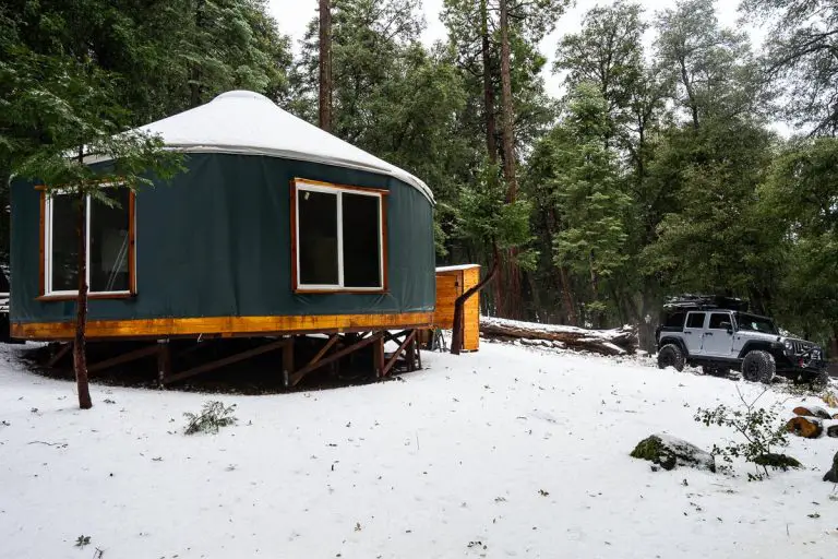
Camping
Two year-round developed campgrounds are available: Pinyon Flat has fire rings, tables, potable water & restrooms; Ribbonwood Equestrian (reservation only) includes corrals and hot showers. Visit www.recreation.gov or call 877-444-6777 for reservations.
For a true backcountry experience, drive Santa Rosa Road (7S02), also known as the Santa Rosa Truck Trail onto Santa Rosa Mountain, where 16 Yellow-Post campsites feature no cost, no reservation camping with minimal amenities and plenty of solitude.
Safety Tips
Santa Rosa and San Jacinto Mountains National Monument is rugged country and requires respect.
- Bring Ample Water: At least one gallon per person per day is recommended for desert hikes.
- Prepare for Changing Weather: Temperatures can vary by thousands of feet in elevation—dress in layers and consider carrying rain gear or a warm jacket.
- Navigation: Cell coverage is limited; always have a physical map, and tell someone your itinerary.
- Wildlife and Plants: Rattlesnakes, bees, and spiny cacti are common in desert zones—watch where you step and place your hands.
- Dog Restrictions: Most monument trails prohibit dogs to protect sensitive wildlife. A few city-maintained loops allow dogs on leash—contact the visitor center for specifics.
More Information
Santa Rosa and San Jacinto Mountains National Monument Visitor Center
51-500 Highway 74, Palm Desert, CA 92260
Open days and times vary seasonally
760) 862-9984 • www.blm.gov/SRSJMNM
BLM Palm Springs South-Coast Field Office
1201 Bird Center Drive, Palm Springs, CA 92262
(760) 833-7100 • www.blm.gov/ca/palmsprings
U.S. Forest Service San Jacinto Ranger District Office
54270 Pine Crest Avenue, Idyllwild, CA 92549
(909) 382-2921 • www.fs.usda.gov/sbnf
Indian Canyons
38520 S. Palm Canyon Dr., Palm Springs, CA 92264
(760) 323-6018 • www.indian-canyons.com
Tahquitz Canyon Visitor Center
500 W. Mesquite, Palm Springs, CA, 92264
(760) 323-6018 • www.TahquitzCanyon.com
Friends of the Desert Mountains
PO Box 1281, Palm Desert, CA 92261
(760) 568-9918 • www.DesertMountains.org
Mount San Jacinto State Park
PO Box 308, 25905 Hwy 243, Idyllwild, CA 92549
(951) 659-2607 • www.parks.ca.gov/msjsp
Palm Springs Aerial Tramway
1 Tramway Rd, Palm Springs, CA 92262
(760) 325-1391 • www.pstramway.com
Agua Caliente Cultural Plaza
140 N Indian Canyon Dr, Palm Springs, CA 92262
(760) 778-1079 • Aguacaliente.org
The Living Desert Zoo and Gardens
47900 Portola Ave, Palm Desert, CA 92260
(760) 346-5694 • www.livingdesert.org