Hiking Guide to Carlsbad, California

Carlsbad, California, is home to a diverse range of hiking trails that offer breathtaking views of coastal lagoons, wetlands, mountains, and natural preserves. Whether you’re looking for an easy walk through shaded eucalyptus groves or a challenging trek with panoramic ocean views, Carlsbad has something for everyone. Below is an overview of some of the best hiking trails in the area, complete with trail details and directions.

Batiquitos Lagoon (South Carlsbad)
This coastal lagoon offers a peaceful and scenic hike under the shade of riparian trees. Visitors can enjoy views of the lagoon and the chance to spot endangered bird species like the Snowy Plover and California Least Tern. The Batiquitos Lagoon Foundation manages the lagoon, which is a protected bird estuary and sanctuary that attracts both casual walkers and dedicated bird watchers.
- Length: 2.7 miles
- Difficulty: Easy
- Parking/Directions: Designated parking near the Visitor Center, street parking along Gabbiano Lane, and lots on Batiquitos Drive at Pelican Street.
Veterans Park Trails (North Carlsbad)
These trails wind through various points of interest, including the Crossings Golf Course, Agua Hedionda Creek, and Veterans Memorial Park. Expect a workout on this trail’s steeper sections, but you’ll be rewarded with grand views of the Pacific Ocean and surrounding landscapes.
- Length: 1.5 miles to 2.1 miles
- Difficulty: Moderate to Difficult
- Parking/Directions: Parking at The Crossings Golf Course or along Faraday Avenue near Veterans Park.
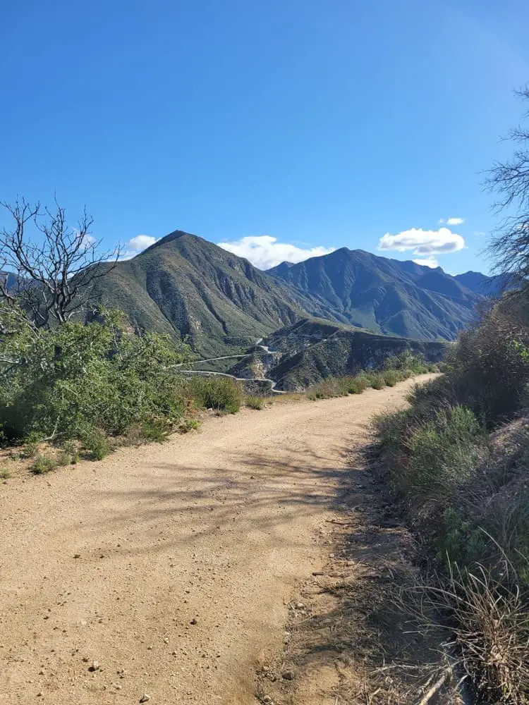
Rancho La Costa Switchback Trail
A favorite for those seeking a challenge, this trail features steep inclines and breathtaking views of the Pacific Ocean and San Marcos Mountains. The trailhead starts at Camino Junipero and Corte Romero and leads hikers to a scenic shelter at the top, perfect for a well-earned rest.
- Length: 2.7 miles
- Difficulty: Difficult
- Parking/Directions: Street parking along Corte Romero.
Lake Calavera Trail
The Lake Calavera Preserve offers 6.25 miles of trails, ranging from easy to difficult. The Lake Calavera Trail is a 3.2-mile loop around a lake that offers a unique hiking experience with its extinct volcanic features and rich biodiversity.
- Length: 3.2 miles
- Difficulty: Moderate
- Parking/Directions: Street parking on Tamarack Avenue.
East Ridgeline Trail (South Carlsbad)
This trail offers scenic views of the San Marcos Mountains and, at higher elevations, the Pacific Ocean. The trail skirts a seasonal creek and supports unique bird species and vegetation, all within the coastal watershed.
- Length: 2.1 miles
- Difficulty: Difficult
- Parking/Directions: On-street parking along El Fuerte Street near Babilonia Street.
Buena Vista Lagoon
As the only freshwater lagoon in California, Buena Vista Lagoon offers a tranquil spot for birdwatchers and hikers. The surrounding trails provide great views of migrant and resident waterfowl.
- Length: Varies
- Difficulty: Easy
- Parking/Directions: Near the Buena Vista Audubon Nature Center on the lagoon’s north edge.
Aviara Trail System
The Aviara trail system offers a wide variety of nature experiences, from coastal sage scrub to eucalyptus groves and salt marshes. Trails range from easy to difficult, with scenic views of the Aviara golf course, Batiquitos Lagoon, and beyond.
- Length: Varies (up to 6 miles)
- Difficulty: Moderate to Difficult
- Parking/Directions: Parking at Aviara Community Park or Aviara Oaks Elementary School.
Hidden Canyon Trail
This short trail connects the dog park with Hidden Canyon Community Park, offering a quick and easy walk through the park’s green spaces.
- Length: 0.25 miles
- Difficulty: Easy
- Parking/Directions: Parking at Hidden Canyon Community Park.
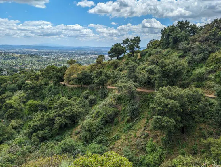
Hosp Grove Trail
Hosp Grove is known for its towering eucalyptus trees and hilly terrain, offering a moderate-to-difficult hike with views of Buena Vista Lagoon and the Pacific Ocean.
- Length: 3.0 miles
- Difficulty: Moderate to Difficult
- Parking/Directions: Parking lot on Jefferson Street near Las Flores Drive.
Calavera Hills Village H North Trail
This trail winds through a eucalyptus grove and offers great bird-watching opportunities, including sightings of raptors and hawks.
- Length: 0.5 miles
- Difficulty: Moderate to Difficult
- Parking/Directions: Parking available at Victoria Lane, off Carlsbad Village Drive.
For more detailed trail maps, visit the City of Carlsbad’s GoHike Carlsbad portal to explore all trail locations, points of interest, and parking information.