Corkscrew Peak Trail – Death Valley

Corkscrew Peak Trail is a difficult 7.3-mile out-and-back hike in Death Valley National Park, marked by a steep 3,080-foot ascent and sections of rock scrambling.
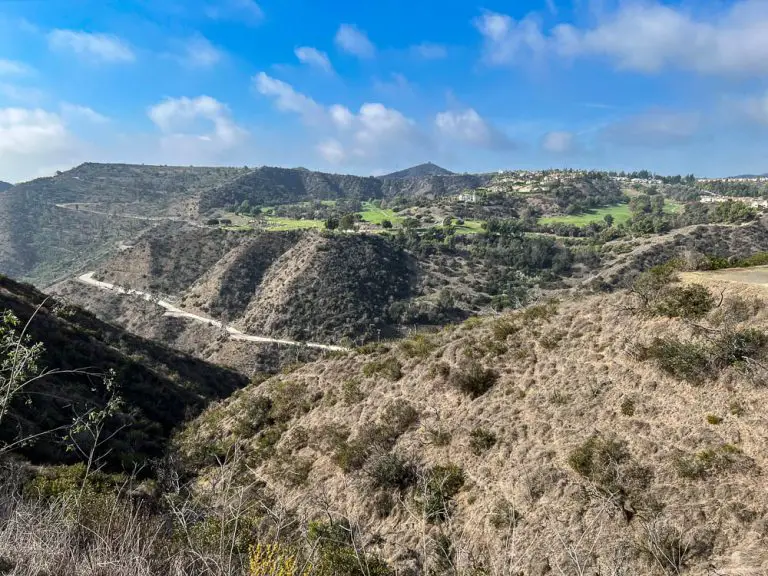
Located along Daylight Pass Road, this rugged route winds through washes, narrow gullies, and exposed ridgelines, rewarding experienced hikers with panoramic views of the Grapevine Mountains and Death Valley below.
There is no established trail, so careful navigation and cross-country hiking skills are essential. The terrain is harsh and water sources are nonexistent, making thorough preparation—such as carrying ample water, a detailed map, and a GPS device—crucial for a safe and successful journey.
Trail Details
| Trail Type | Out-and-back |
| Difficulty | Difficult |
| Length | 7.3 miles |
| Time | 4–6 hours (approx.) |
| Elevation Gain/Loss | +3,080 ft / -3,080 ft |
| Trailhead Coordinates | 36.73458, -116.97209 |
| Location | Death Valley National Park |
| Season | Cooler months (fall through spring) |
| Information Number | 760-786-3200 |
Getting to Corkscrew Peak Trailhead
From Furnace Creek, head northeast on CA-190 for about 17 miles and turn left onto Daylight Pass Road (CA-374). Continue for roughly 8 miles. Look for a small, unpaved parking area on the north side of the road near 36.73458, -116.97209. This turnout is unmarked but offers enough space for a few vehicles.
If you’re traveling from Beatty, Nevada, drive southwest on NV-374 (which becomes Daylight Pass Road once you cross into California) toward Death Valley National Park. After entering the park, continue for about 12 miles. The small parking area for Corkscrew Peak will be on your right, just past a bend in the road. Be aware that cell service is limited or nonexistent throughout much of the park.
An information kiosk and toilet are located less than a mile south of the trailhead, where you can pay the park entrance fee if you haven’t already.
The Trail

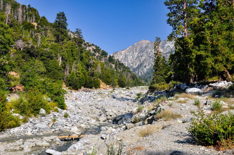
Although commonly referred to as a “trail,” there is no formally maintained path on Corkscrew Peak. Your journey begins at the small dirt parking area off Daylight Pass Road. Look north toward the rugged outline of Corkscrew Peak and start by ascending a short, rocky slope directly above the parking area. Almost immediately, you’ll find yourself navigating a broad wash system where multiple drainages intersect. The terrain is mostly loose gravel with scattered rocks, so watch your footing.

Head generally to the right (east) side of Corkscrew Peak, following the largest wash. After about 1.6 miles, you’ll spot a prominent boulder marking a narrower gulley. This natural corridor feels like a miniature canyon, with smooth, water-sculpted walls on either side. You’ll scramble over a few sections here, including a 5-foot dry waterfall that requires a small but manageable climb.

Past the waterfall, keep an eye out for subtle signs of human passage—footprints, stacked rocks, or faint paths—that can help guide you through the final stretch of the wash. As the gulley opens up, the route leads into the foothills of the Grapevine Mountains. Bighorn sheep occasionally roam in these parts, so stay alert for wildlife.

The path becomes more defined as it climbs toward the base of Corkscrew Peak, though it remains steep and rocky underfoot. Near the ridge, small, loose rocks over hard bedrock demand careful balance, especially on the ascent. Upon reaching the crest, you’ll see a striking rock arch about 10 feet tall, a popular spot for photographs. Continue along the ridgeline to the true summit, where you’ll find a metal box with a summit register to mark your achievement.
The return journey retraces your steps. Trekking poles can be especially helpful on the descent, where loose gravel and steep grades make footing challenging. Double-check your route at each juncture to avoid straying into an adjacent wash. Remember that cell coverage is poor, so rely on maps, a GPS device, and your own route-finding abilities to guide you safely back to your vehicle.
Camping
Stovepipe Wells Campground is located about 15 miles southeast of the trailhead mentioned above. For other options, including dispersed camping, visit our guide to Death Valley camping.