Mission Trails Regional Park Outdoor Adventure Guide
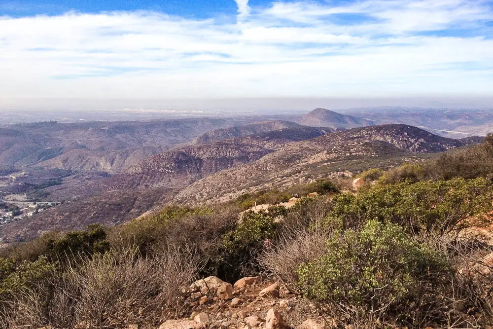
Mission Trails Regional Park in San Diego offers rugged outdoor adventure near the city, including hiking, mountain biking, and rock climbing.
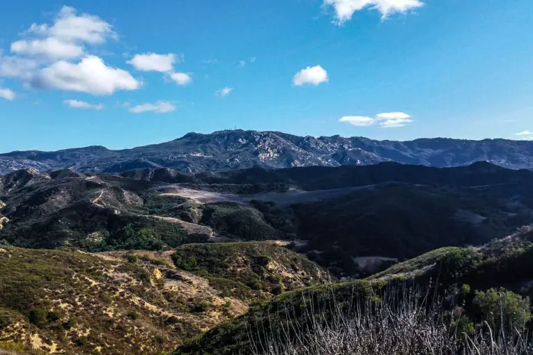
Located about 8-miles northeast of downtown San Diego, Mission Trails Regional Park encompasses more than 8,000 acres of mountainous open space.
The San Diego River flows through Mission Gorge, offering a rare year-round source of flowing water in this arid landscape. Despite being surrounded by suburban neighborhoods, the park’s expansive coastal sage, chaparral, and riparian ecosystems are home to numerous animals, including bobcats, coyotes, deer, and many native lizard and bird species.
The visitor’s center, located at the western end of the gorge, offers great information on the park’s human and natural history.
Getting Oriented
Mission Trails is located about 8 miles northeast of downtown San Diego between the communities of Tierra Santa and Santee. While there are new additions to the park that will be opened in coming years, the main part of the park is located just south of Highway 52. There are multiple places to enter the park and parking lots for vehicles.
Mission Gorge, which bisects the park, can be explored via a large paved bike trail or a oneway road that parallels the bike trail. The gorge road starts at the visitor’s center on the west side of the park.
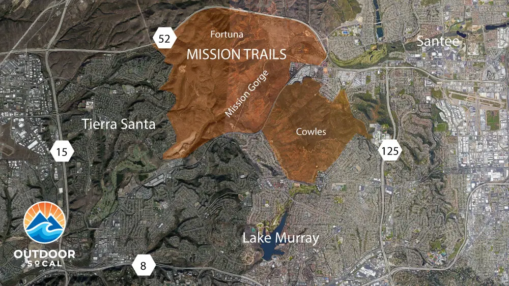
For reference, the park can be divided into the northern Fortuna Mountain area, Mission Gorge, and the southern Cowles Mountain area.
Getting to Mission Trails
From Interstate 8 – Take Interstate 8 to the Mission Gorge Road/Fairmount Avenue exit. Turn north onto Mission Gorge Road and proceed for 4.2 miles. When you pass the Jackson Drive intersection, move into the left lane. Look for the large wooden Mission Trails Regional Park sign on the left side of the road, and turn left onto Father Junipero Serra Trail. The entrance to the Visitor Center parking lot is on the left, just before the pipe gate, off Father Junipero Serra Trail.
From Highway 52 – Take the Mast Blvd. exit. Driving from the west, turn left onto Mast Blvd., go under the freeway to the second traffic signal at West Hills Parkway, and turn right. Driving from the east, turn right onto Mast Blvd. and turn right at the first traffic signal onto West Hills Parkway. Continue 2/3 mile to Mission Gorge Rd. and turn right. Proceed south on Mission Gorge Road for 2.4 miles. Look for the large wooden Mission Trails Regional Park sign on the right side of the road, and turn right onto Father Junipero Serra Trail. The entrance to the Visitor Center parking lot is on the left, just before the pipe gate, off Father Junipero Serra Trail.
From Highway 125 – Take 125 north to Mission Gorge Road and turn left. Proceed west on Mission Gorge Road for 3.7 miles, staying left at the merge past the east Father Junipero Serra Trail entrance. After you pass the light at Golfcrest Drive, look for the large wooden Mission Trails Regional Park sign on the right side of the road, and turn right onto Father Junipero Serra Trail. The entrance to the Visitor Center parking lot is on the left, just before the pipe gate, off Father Junipero Serra Trail.
From Route 15 – Take 15 to the Friars Road exit and proceed east on Friars Road, which changes into Mission Gorge Road, for approximately 4.2 miles. After you pass the light at Jackson Drive, turn left onto Father Junipero Serra Trail. The entrance to the Visitor Center parking lot is on the left, just before the pipe gate, off Father Junipero Serra Trail.
Mission Trails Hiking
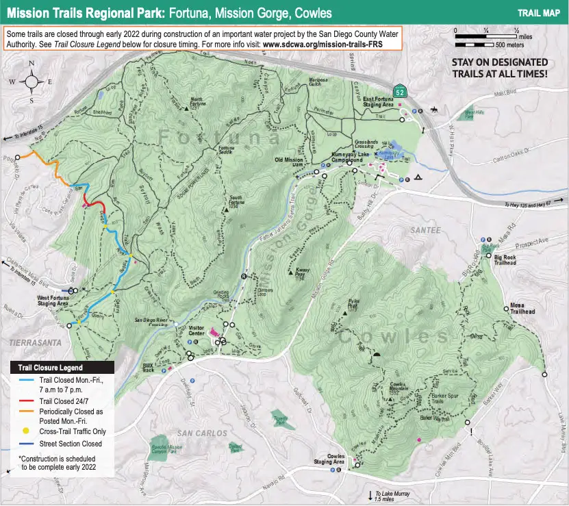
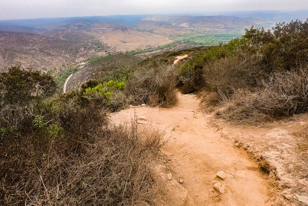
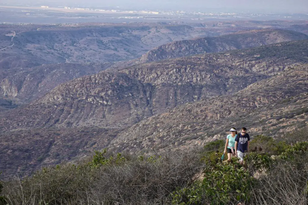
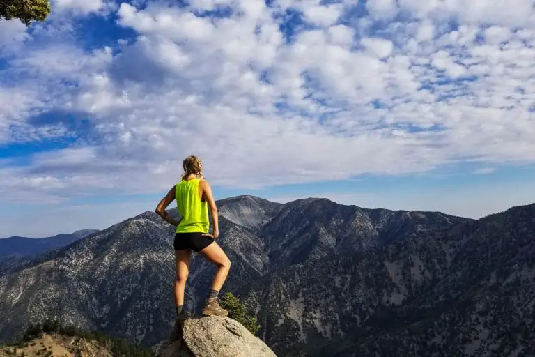
Mission Trails Regional Park offers at least two dozen named hiking trails, ranging from flat meandering paths to steep climbs up the park’s five mountain peaks.
There are over 65 miles of trails to explore in the park. You can download a PDF of the trail map above from the park’s website.
Below is a list of some of our favorite hikes, which we’ll update over time.
Kwaay Paay Peak Trail
This steep 2.5-mile out-and-back route climbs 885 feet from Mission Gorge to the 1,194-foot summit of Kwaay Paay Peak.
Cowles Mountain Trail
The summit of Cowles Mountain, the highest point in the City of San Diego at 1,591, offers terrific 360-degree views of San Diego.
Climbers Loop Trail
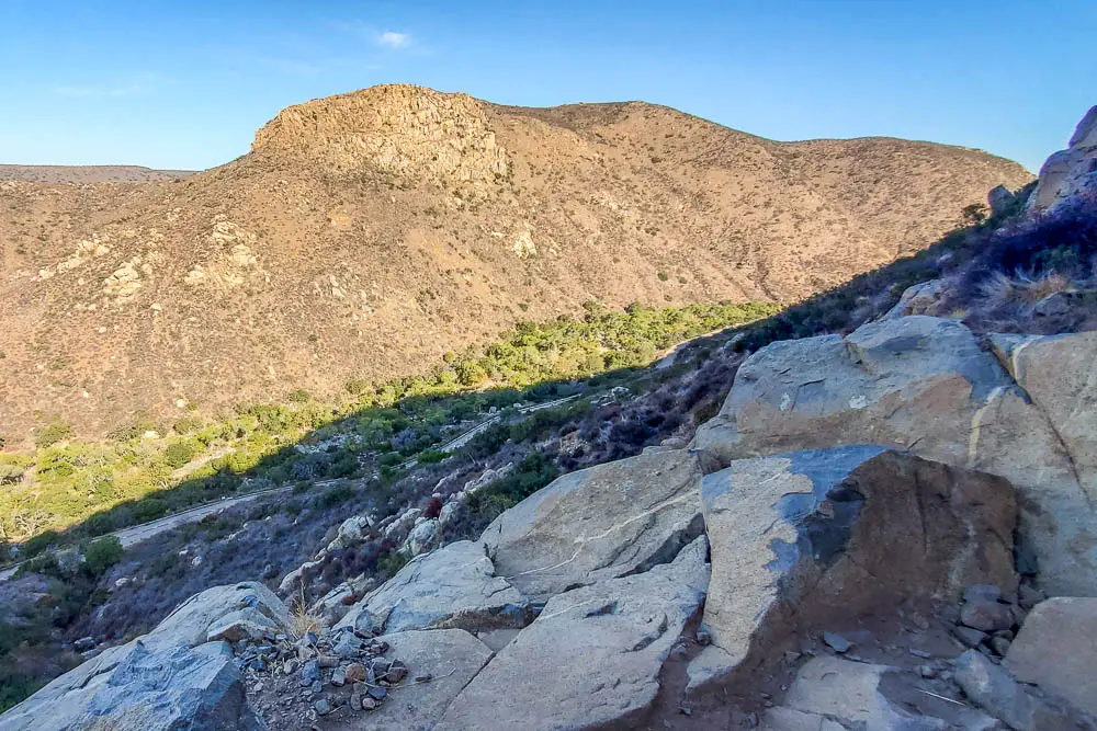
This short but steep loop climbs 400 feet to a popular rock climbing crag in Mission Gorge
Oak Canyon Trail
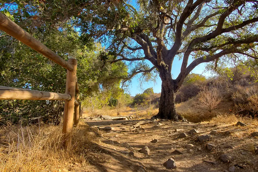
This is one of the most diverse hikes in the park, offering a satisfying mix of historical landmarks and natural beauty.
Biking
A long bike path parallels the road that runs through Mission Gorge, and can be a great way to explore the park.
Many of the park’s trails are also open to mountain biking, and even some of the tall peaks are accessible to bikes–if you’re willing to put in the effort. Visit the San Diego Mountain Biking Association website for more info on the park’s MTB trails.
Rock Climbing
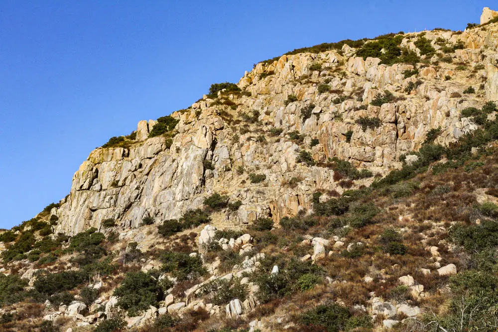
One of the most popular climbing areas in San Diego is found on the south side of Mission Gorge. This crag offers over 190 climbing routes, including trad, sport and mixed routes.
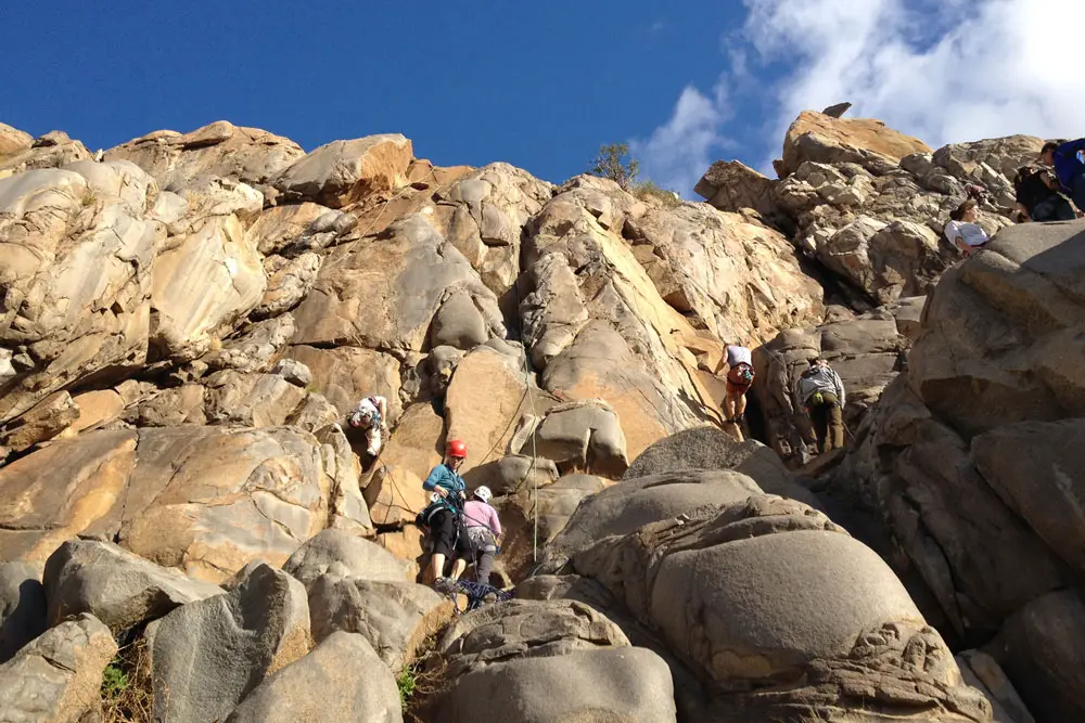
For more information on routes, visit Mountain Project’s guide to this crag. While not within Mission Gorge, Santee Boulders is another popular climbing area that’s just across Highway 52 in Santee from the eastern edge of Mission Trails.
For directions to the crag, check out our guide to the Climbers Loop Trail.
Camping
Kumeyaay Lake Campground offers several dozen campsites on the eastern end of Mission Gorge. Check out our guide to the campground for more info.

