Pinyon Mountain Trail
Pinyon Mountain Trail is an classic 8.8-mile off-roading route in Anza-Borrego Desert State Park, known a one of the most challenging routes in the region and featuring obstacles such as the Squeeze and Heart Attack Hill. The trail passes through the Pinyon Mountains in the center of the park and is a one-way passage from west to east.
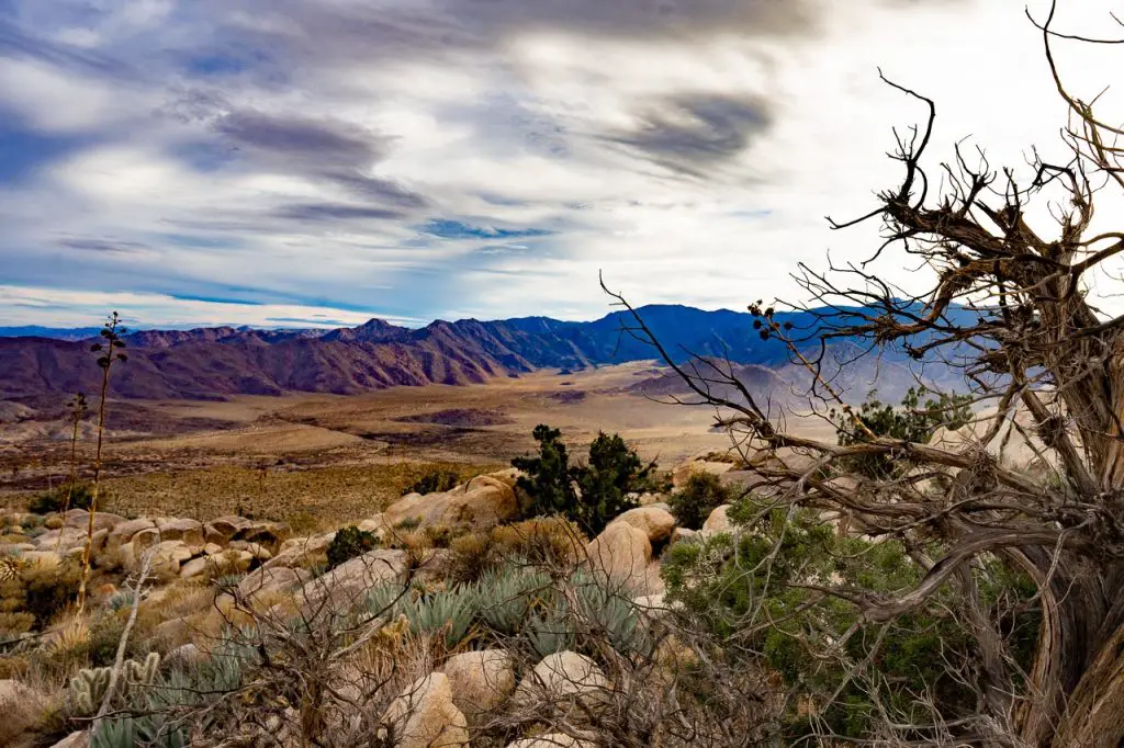
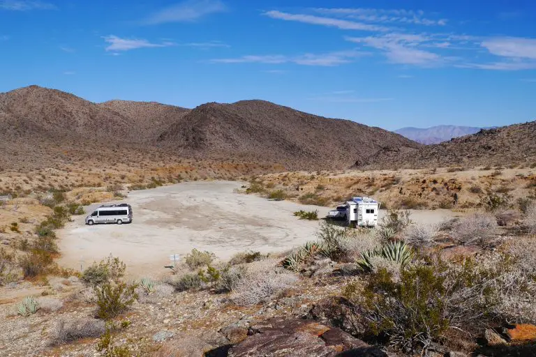
The trail attracts seasoned off-road drivers looking for a serious adventure in California’s largest state park. The rugged, scenic journey winds through rocky passes, narrow canyons, and steep drop-offs, offering beautiful desert vistas along the way.
Because this is a one-way trail, after you finish the first 8.8 miles of technical off-roading, you will need to drive another 15 miles to exit on Fish Creek Wash, making for a total trip of around 25 miles.
This trail should only be attempted by experienced off-road drivers with capable vehicles (see the video below for some examples of the terrain and challenges).
Trail Details
| Trail type | One-way, point-to-point |
| Length | 8.8 miles followed by 15 mile exit route |
| Elevation gain and loss | Approximately 1,200 feet |
| Trailhead Coordinates | 33.056920, -116.421459 |
| Location | Anza-Borrego Desert State Park, San Diego County |
| Season | Fall through spring (avoid during peak summer temperatures) |
Getting to Pinyon Mountain Trail
The trailhead for Pinyon Mountain Trail is located south of Shelter Valley, accessible via State Route 2. From Borrego Springs, take Borrego Springs Road south, connecting to County Road S2 near the Shelter Valley community. The trailhead begins just off the road, with a small sign that says Pinyon Mountain Area at the entrance (GPS: 33.056920, -116.421459).
The Trail

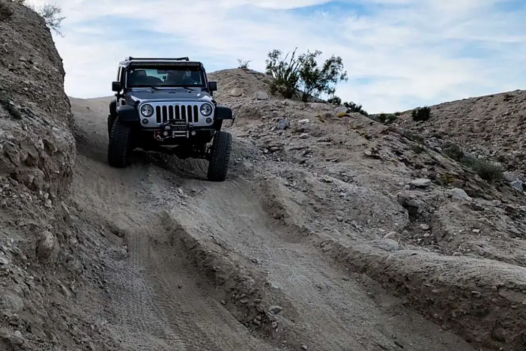
Pinyon Mountain Trail kicks off with a two-way section that spans approximately 6.5 miles, winding through the Pinyon Mountain Valley. This initial stretch is rugged but navigable for vehicles with adequate clearance and four-wheel drive. As the trail narrows, it transitions into a one-way route designated by the park, beginning the more intense, obstacle-laden portion.
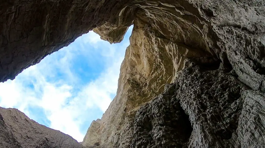
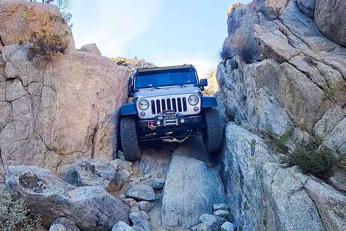
The Squeeze (Mile 6.9)

This infamous obstacle is a tight, off-camber passage between two towering rock faces. Even smaller vehicles face minimal clearance, with larger rigs often leaving with scratches. Navigating this passage requires precision and confidence; drivers must maneuver carefully to avoid body damage. Fold in your mirrors if you can.
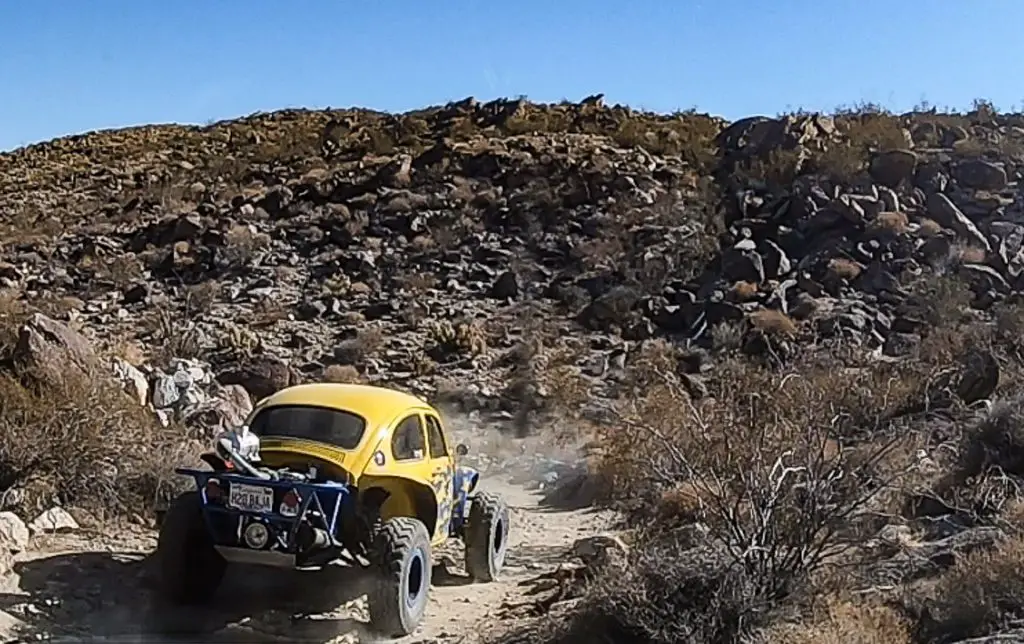
Rock Garden (Mile 7.3)
Past The Squeeze, the trail becomes rockier, with larger boulders and challenging slickrock terrain that requires deft driving. Drivers navigate a series of jagged rocks and tight corners, including the so-called “Rear Window Breaker,” a rock that looms close enough to graze your vehicle and maybe even break a window, if misjudged.
Heart Attack Hill (Mile 7.9)

The final major obstacle is the steep, nerve-wracking descent of Pinyon Mountain Drop-off, better known as Heart Attack Hill. Loose soil, deep ruts, and steep grades make for a challenging drive down, especially if traction is lost.
The left line is the more manageable route, while right line offers an even steeper descent and trickier wheel placement. Drivers should use low-range gearing, apply gentle braking, and keep a steady pace to avoid losing control. A competent spotter will be very helpful here.
Here’s a short video from an eventful trail run that my friend and I took (posted on my Ordealist YouTube site):
The Rest of the Trail
After Heart Attack Hill, the Pinyon Mountain Trail transitions into a gentler route at the intersection of Hapaha Flats Road and Pinyon Wash. From there you will navigate roughly 15 miles through the scenic landscape of Fish Creek Wash.
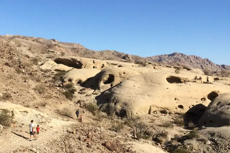
This section is significantly less technical than the preceding obstacles, providing a more relaxed off-road experience for the rest of the trail. Here, the trail descends into the wide, sandy wash of Fish Creek, winding through sandstone canyons with open views of the surrounding desert.
The terrain primarily consists of sandy paths with occasional rocks, making it accessible to high-clearance vehicles without specialized equipment. Drivers can expect stretches of relatively easy, sandy trail, allowing them to enjoy the scenery. Fish Creek Wash also provides a natural, shady lunch spot, often in Sandstone Canyon, where towering walls of sandstone offer a break from the desert sun.
The final stretch of the trail continues eastward through Fish Creek Wash, eventually reaching Split Mountain Road, where off-roaders typically air up their tires and conclude the journey. This part of the trail offers a beautiful drive with notable geological formations, winding through layers of sedimentary rock, making it an excellent route for photography and a welcome reprieve after the technical challenges earlier on the trail.
Trail Conditions and Requirements
The trail is a mix of rutted, rocky, and sandy sections, with some steps up to 24 inches high and occasional slickrock surfaces. Vehicles with a minimum of 33-inch tires, good ground clearance, and a 4WD system with locking differentials are recommended.
High-level off-road driving skills are essential, and carrying appropriate recovery gear is advisable due to the lack of cell service in the area and potential need to self rescue.
For information on other trails in the area, visit our guide to Anza-Borrego off-roading.
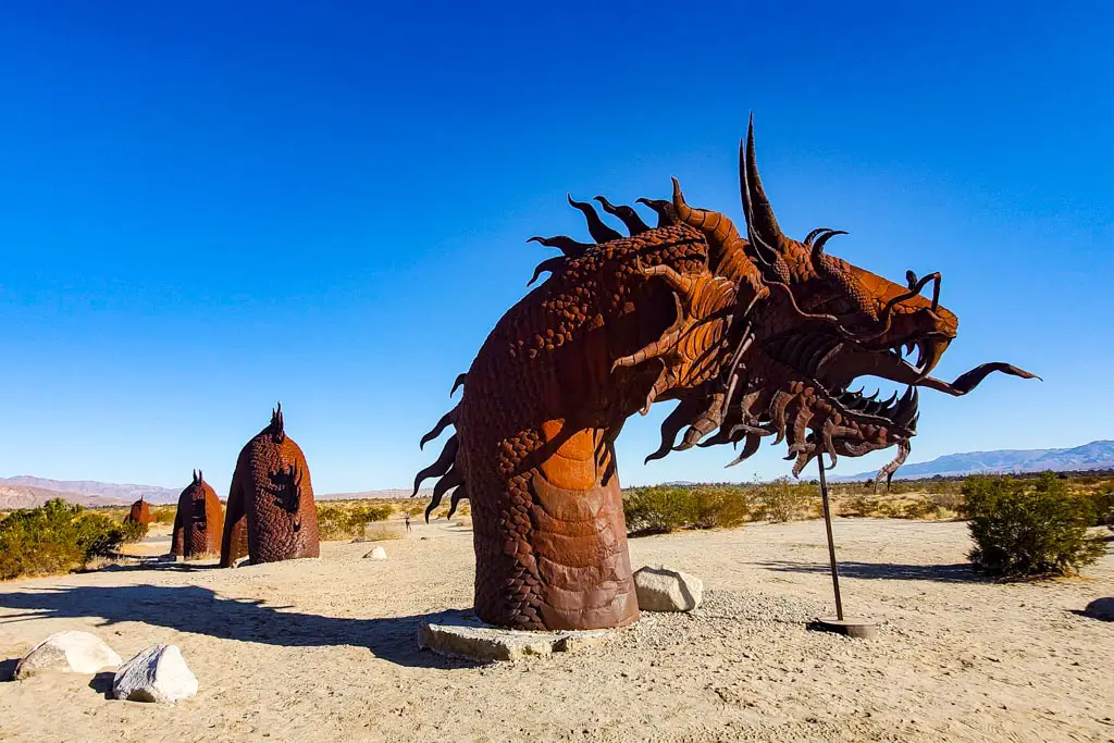
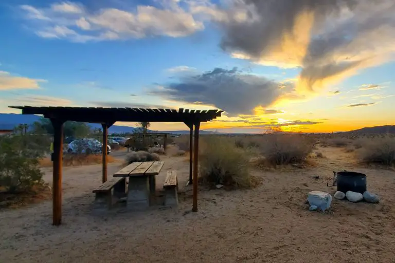
Anza-Borrego Desert State Park
Anza-Borrego Desert State Park spans nearly 600,000 acres, offering diverse desert landscapes, including rugged badlands, palm groves, and flowering cacti in the spring.
Named after Spanish explorer Juan Bautista de Anza, the park is home to wildlife like bighorn sheep, eagles, and kit foxes. With two-thirds of its expanse designated as wilderness, the park provides a remote experience for nature enthusiasts.