Beach Trail Guide – Torrey Pines State Reserve
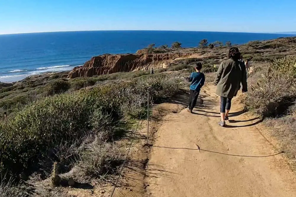
The Beach Trail is a 1.5 mile out-and-back hike in Torrey Pines State Natural Reserve that combines stunning views of the San Diego coastline with interesting terrain and access to Torrey Pines State Beach.
The Torrey Pines Beach Trail is the most popular trail in the preserve and can get crowded on weekends.
Trail Details
| Trail Type | Out-and-back |
| Difficulty | Easy/Moderate |
| Length | 1.5 miles |
| Elevation Gain/Loss | 300 feet/-300 feet |
| Trailhead Coordinates | 32.919936, -117.252857 |
| Location | Torrey Pines State Natural Reserve |
| Best Season | Year round |
Getting to Torrey Pines Beach Trail
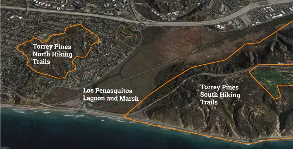
Torrey Pines State Natural Reserve is split into two sections. Beach Trail is located within the southern portion of the reserve, south of Los Penasquitos Lagoon and Marsh. The reserve’s south entrance is located on California Highway 101 just south of the roadside beach parking for Torrey Pines State Beach (across from the trailhead for the Marsh Trail; see map below).
The easiest access to the trailhead for Beach Trail is to enter the south portion of the reserve, pass through the entrance kiosk, and then drive up the curvy road to the top of the bluffs that brings you to the visitor’s center and a parking lot right next to the trailhead.
It’s also possible to park in the parking lot behind the entrance kiosk (near the beach) and then hike up the park road to the trailhead for Beach Trail. You could then descended from the bluffs to the beach along the trail and return to your car by walking north along the beach (the full loop is 2.4 miles).
The Trail
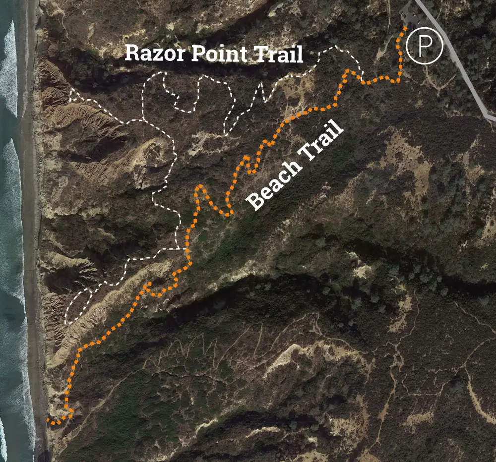
The 1.5-mile out-and-back version of hiking Torrey Pines Beach Trail starts at the parking lot across the park road from the visitor’s center and drops 300 feet to the beach.
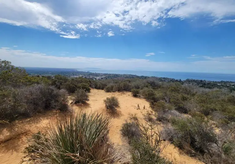
The hike begins in a grove of Torrey pines, then opens up into tree-less coastal chaparral as you descend. On the way down the hill, you’ll pass Red Butte, a striking geological formation that is worth a look and fun to climb.
After Red Butte, the trail winds through a series of switchbacks, then splits, the right fork heading to Razor Point overlook and the left fork bringing you to the beach. The trail ends at a set of stairs that bring you down to the beach.
Torrey Pines State Beach is stunning stretch of the California coastline. It’s not uncommon to see dolphins, seals and sea-lions in the water, and in certain seasons you can make out whales spouting off short.
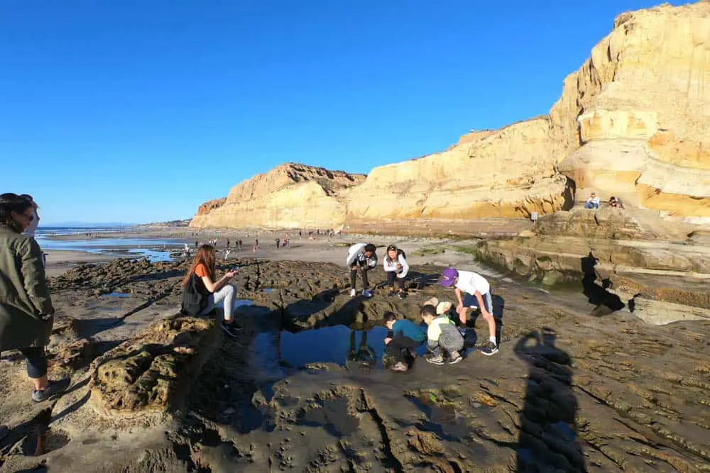
It’s also an epic tide-pooling location. Check out our guide to San Diego tide pooling to find out more about the best times of year for exploring the many pools that form in this area.
To make this Torrey Pines hike into a 2.4-mile loop, park at the parking lot on the left just after you pass the ranger booth at the entrance to the park (there’s also parking along the beach further north on North Torrey Pines Road).
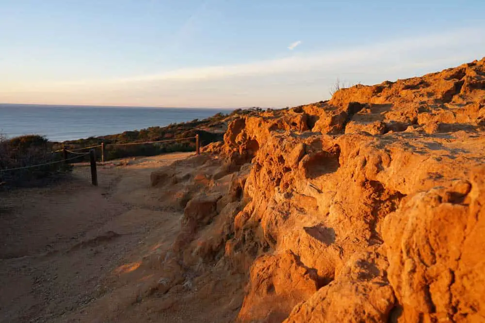
Hike up park road to the parking lot mentioned above, then follow Beach Trail to the beach. Walk north on the beach to return to where you parked.
Beach Trail is one of a number of terrific hikes in the reserve. Check out our full guide to the reserve to learn about all of the trails in the area.

