Boucher Hill Loop Trail Guide
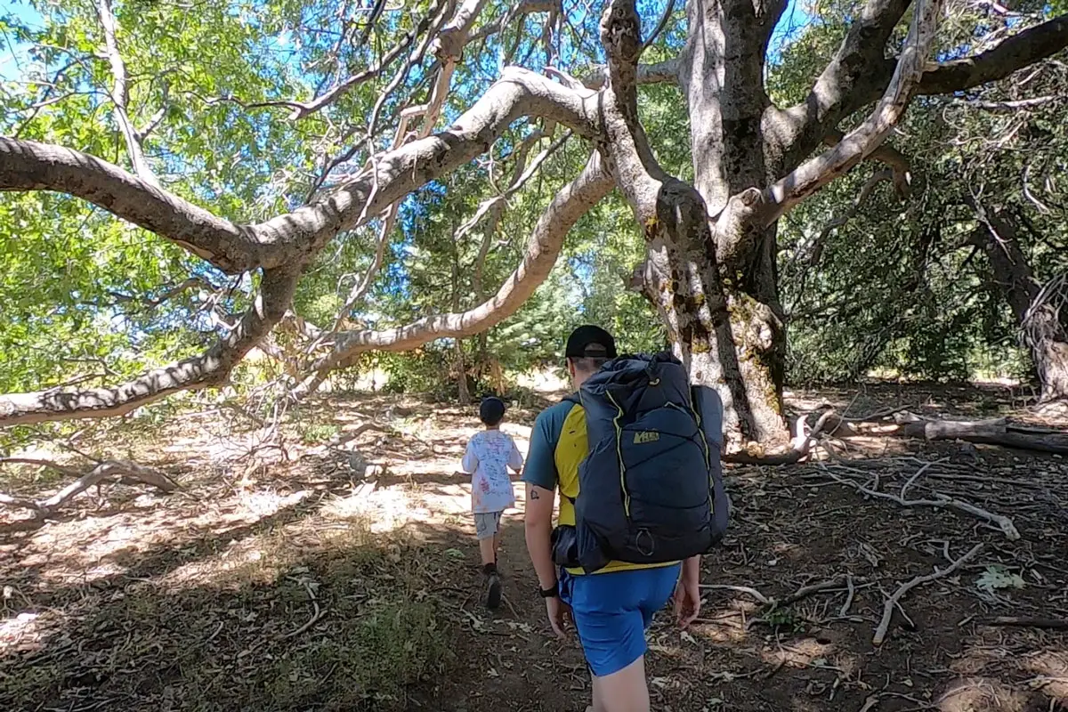
Boucher Hill Loop is a moderate 3-mile trail in Palomar Mountain State Park that brings you through oak woodland to an overlook that offers stunning views of the surrounding landscape.
The hike, which begins near the entrance to the Doane Valley areas of the park, climbs a steep hill to the summit overlook and historic Boucher Hill fire tower, an active fire tower that is open to visitors when manned.
Trail Details
- Trail type: Loop
- Difficulty: Easy/Moderate
- Length: 3 miles
- Elevation gain and loss: 320 feet, -320 feet
- Trailhead Coordinates: 33.332348, -116.909962
- Location: Palomar Mountain State Park
- Season: Year-round
- Topo Map: Download Here
Getting to the Boucher Hill Loop Trailhead
Palomar Mountain is located in northern San Diego County, with portions in Riverside County. It is about an hour and a half drive from San Diego or Irvine.
From the west, take Interstate 15 exit 46 at Pala Mesa and head east on Highway 76 for 21 miles. Turn left onto S Grade Road/Palomar Mountain Road (S6), and climb the curvy mountain road for about 7 miles until it intersects with S7 near the Crestline Group Campground and Mother’s Kitchen restaurant. Turn left on to S7, go around 300 feet and turn left again on State Park Road.
Go about 3 miles to the entrance kiosk for Palomar Mountain State Park, where you’ll need to pay a day-use fee. The parking lot for the trailhead is just past the kiosk on the left.
The Trail
To get to the actual trailhead for Boucher Hill Loop (pronounced “booker”), you’ll need to walk a bit further into the park along State Park Road. Head northwest along the road going away from the park kiosk and walk downhill about an eighth of a mile to the intersection of Nate Harrison Grade Road and Doane Valley Road.

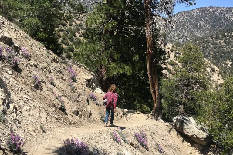
The trailhead is located just to the left of where Nate Harrison Grade comes into the intersection and is marked by a small sign. The trail starts by climbing a bank and maintains a fairly steep grade as you hike through a forest dominated by oaks and pines.

This first part of the trail bisects a one-way loop road that brings motorists to the overlook and fire tower. That’s right, you could just drive to the summit, but what fun is that?

In places, you can see the road, but mostly the hike stays away from the pavement and feels like you’re in the wilderness. The distance from the trailhead to the lookout and fire tower is about .6 miles and gains about 320 feet in elevation.
As you gain elevation, you pass through a forest of tall grasses, bracken fern, and stands of big oaks.

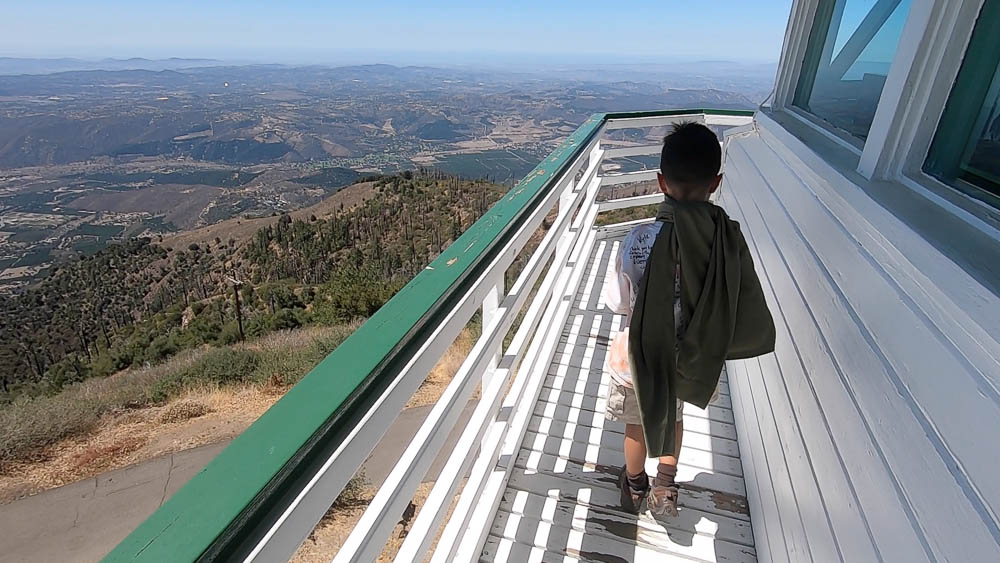
At the summit, you’ll find two points of interest, Boucher Hill Summit Deck and the Boucher Hill Fire Tower. Both offer terrific views.
To the southwest, you’ll be able to see Pauma Valley, which lies over 4,500 feet below. You’ll also see a number of peaks, including Santiago Peak to the northwest and Cuyamaca Peak to the southeast. On a clear day, you can even see the Pacific Ocean.
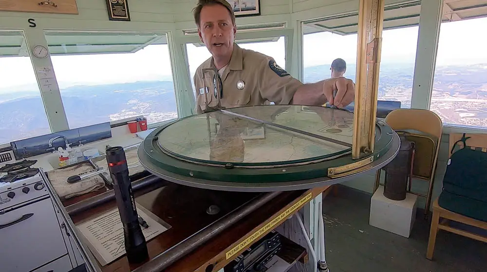
The fire tower is a historic gem that’s still fully operational. The tower sits at an elevation of 5,438 feet, a perch from which volunteers can keep a lookout for fires in hopes of nipping minor blazes in the bud before they become major conflagrations.
The tower, which was first built in 1921, then replaced in 1934, is typically staffed from May 1 until late November. It is open to the public on certain dates and during specified hours.
In my experience, the volunteers are more than happy to show people around the tower and explain how they spot and locate fires.
From the summit, you could return back the way you came, or walk back down the paved road to the parking area at the lower trailhead. If you want to continue on the Boucher Hill Loop, the trail picks up again across the road from the northwest corner of the parking lot.

The hike heads through the forest down Boucher Hill, bringing you past the site of the Poomacha Fire, which burned a large swath of the area in 2007. Along the trail, you see oak, fir, and cedar trees, many of which were damaged during the fire.
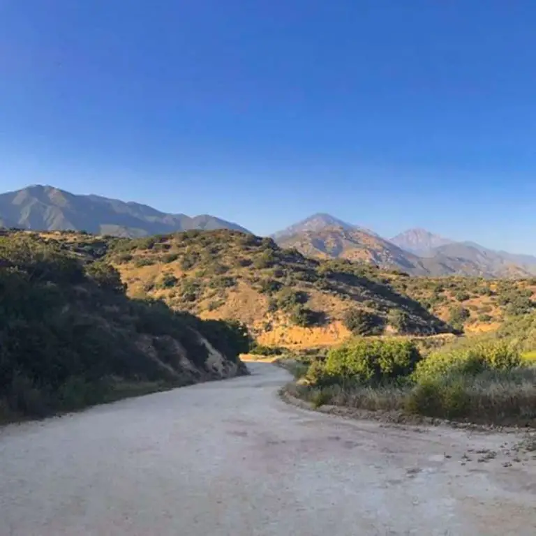
Follow this trail for a little under a mile to connect with Nate Harrison Grade Road, a dirt and gravel road that’s popular among four-wheel drive.

From here, you can follow the road back about a mile back to the trailhead and intersection with State Park Road, then make your way to the parking lot.
Alternatively, where Boucher Hill Loop meets up with Nate Harrison Grade, you can connect with Adams Trail, which will bring you back to the trailhead or connect you with other trails in the park.
About Palomar Mountain
Palomar Mountain offers camping, hiking, stargazing, and other outdoor adventures in a rugged alpine landscape that contrasts starkly with the Mediterranean climate found at lower altitudes nearby.
The area comprises Palomar Mountain State Park, managed by California State Parks, as well portions of Cleveland National Forest, managed by the United States Forest Service.

