Dominguez Gap Wetlands Trail Guide
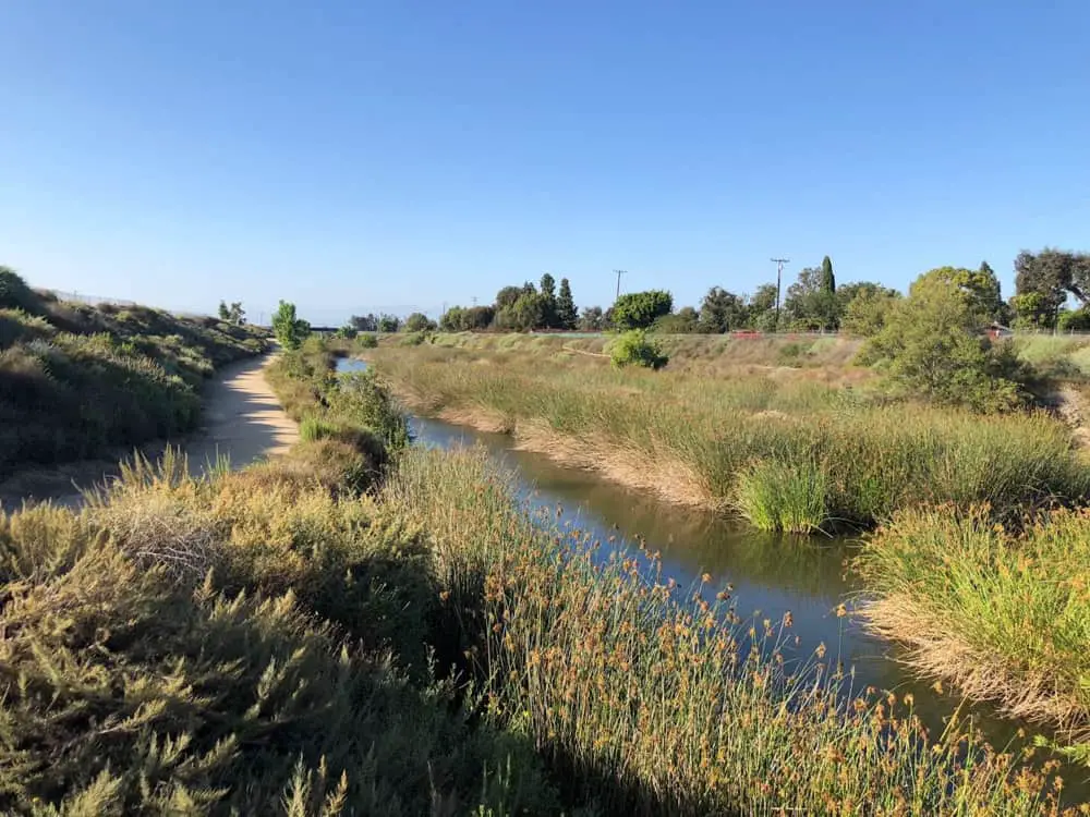
Dominguez Gap Wetlands Trail is an easy trail located in Long Beach, California, along the Los Angeles River.
The trail has grown in popularity over the years and has also seen some work to extend the trail and allow for more room for runners, horse riders, and bikers along the clearly marked path. The relatively mellow and pleasant hike can be completed any time of year and offers relaxing and scenic views not far from the city.
Trail Details
| Trail Type | Combination, loop |
| Difficulty | Easy |
| Length | 2.2 miles |
| Elevation Gain/Loss | 25 feet/-25 feet |
| Trailhead Coordinates | 33.832536, -118.202744 |
| Location | Long Beach, California |
| Best Season | Year-round |
Getting to Dominguez Gap Wetlands Trail
Given its location in Long Beach, CA, getting to Dominguez Gap Wetlands Trail is fairly straightforward. For those who prefer to rely on GPS technology, the address ‘Virginia Vista Ct, Long Beach, California, 90807, United States’ should be entered in order to take you to the popular starting point of the trail route that is based in the Bixby Knolls part of Long Beach, CA.
The information in this guide is for informational purposes only. We use Gaia GPS for mobile devices and also bring high-quality printed topographic maps while in the backcountry, and recommend you do the same.
If you are coming from central Los Angeles and prefer to use manual directions, please follow this basic guide. From the 405 Freeway, take the Long Beach Blvd. exit and head north for 0.2 miles. Then, turn left on 36th St. and go 0.3 miles and bear right on Country Club. Go 0.3 miles and turn left on Los Cerritos Park Place. Follow it past the side of the park to a T-junction and turn right on Del Mar. Parking instructions once you reach the destination outlined below.
Parking at Dominguez Gap Wetlands
The location of this trail is certainly more urban than typical trails are. Given this, it is advantageous to make use of the abundant street parking available nearby and simply take the short walk to the trailhead as desired.
There is also a park near the north entrance of the trail on the corner of Del Amo and Oregon Ave and you can park your car in the parking lot there and enter the trail at the rear of the park. Parking here is usually available and hassle-free.
The location also boasts both official parking (surcharge) and non-official and it is advised to make use of the spots depending upon your budget, but plenty is available.
The Trail
Dominguez Gap Wetlands Trail is a small restored wildlife habitat area adjacent to the Los Angeles River, located in the city of Long Beach, California.
The wetlands themselves are entirely man-made by the LA County Flood Control District as a flood control zone for the Los Angeles river and have proven to be a popular and growing beauty spot perfect for hiking.
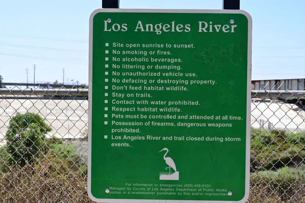
The wetlands were originally designed to treat stormwater, removing nutrients and metals before entering the LA River and later the Pacific Ocean so serves both a natural and practical purpose.
The Dominguez Gap is a great place for a walk or run and can be enjoyed by a lone hiker, pairs, or even a family as this is a very well-defined, modern and safe route. The short loop can be hiked in either direction, depending upon your preference and starting point.
The great thing about this trail is how well maintained it is and the flat and easy to navigate surface means it is favorable for hikers of all proficiencies.
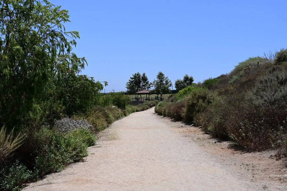
One side of the trail is dirt and the other side is paved and immaculate. Along the trail, you will find that there are a variety of native plants, seasonal birds, rabbits and even tortoises, making this a fun adventure that is certainly family-friendly if you are planning a day out for the entire crew and also an enjoyable expedition if you are on your own or with a partner.
As you probably guessed, the trail itself borders the wetlands – and encompasses a roughly 2.2 mile round-trip hike that can be undertaken by just about anyone. In comparison to others, this is a relatively new trail which was completed by LA County in 2008.
The project encompassed extensive renovation of two preexisting Flood Control District spreading grounds, located along both sides of the Los Angeles River between Del Amo Blvd. and the 405 Freeway. The trail underwent further work to expand its scope in 2014 and 2016 and has seen millions spent on upgrades, now boasting a year-round habitat for plants and wildlife.
Despite its proximity to the city, this is a real treat for wildlife lovers. Some of the animals spotted throughout our hike included the double-crested cormorant, blackbirds, goldfinch, mallards and ducklings, a wide array of insects, and countless fauna lining the route.
Dog-walking is allowed on the trail and is encouraged but dogs must be on a leash both for the safety of others and their own due to the proximity to the LA river. The trail should take around 40 minutes to complete if you don’t stop and is often quite busy throughout the year but there exists plenty of opportunity for peace and solitude along this pleasant trail.
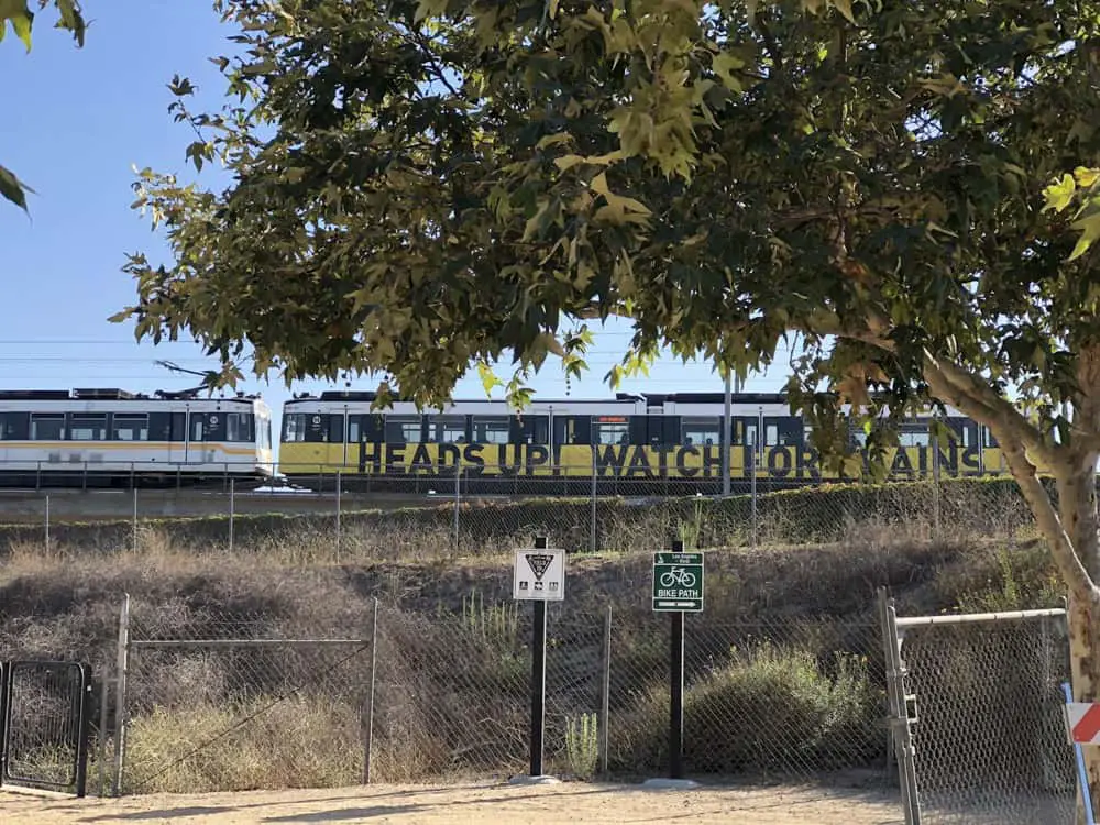
The trail itself is somewhat unique in that there are various modes of transportation often in use; it boasts an equestrian trail, bike paths and walkways, all with the Los Angeles River running alongside that offers a scenic view along with the trees for what is a truly unwinding and relax retreat that is unusually close to the hustle and bustle of city life.


